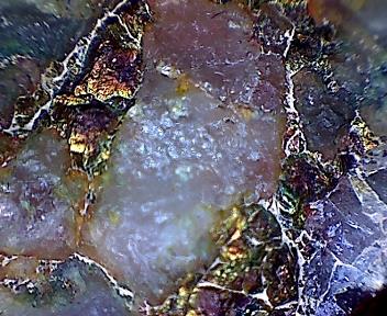
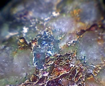
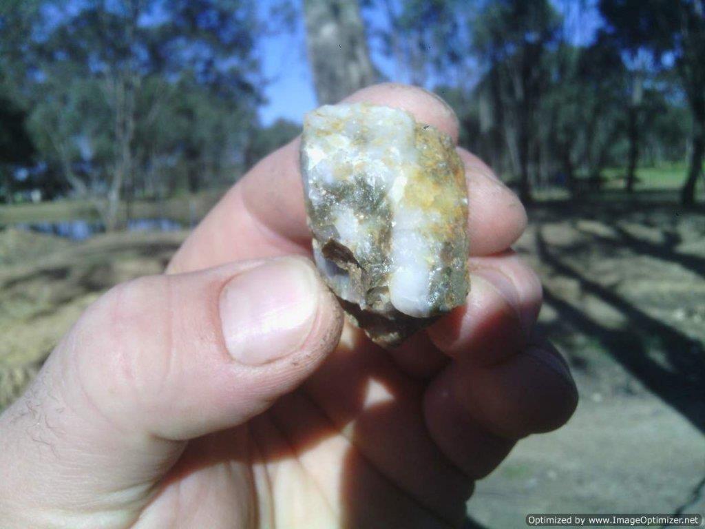
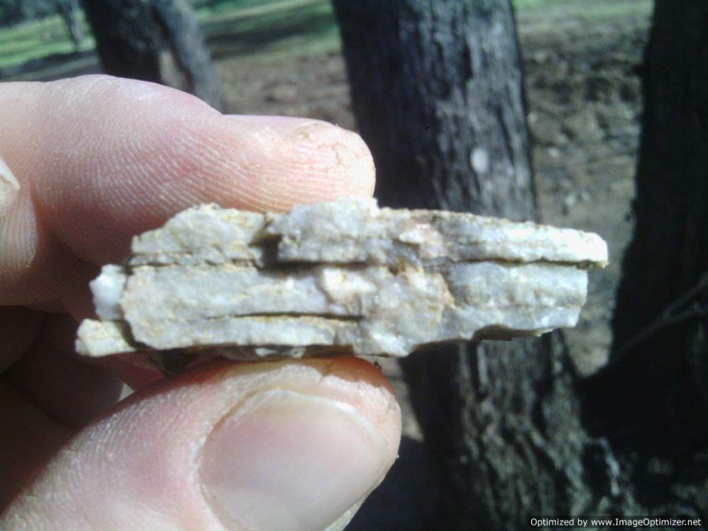
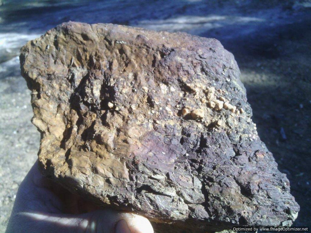
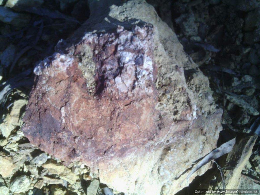
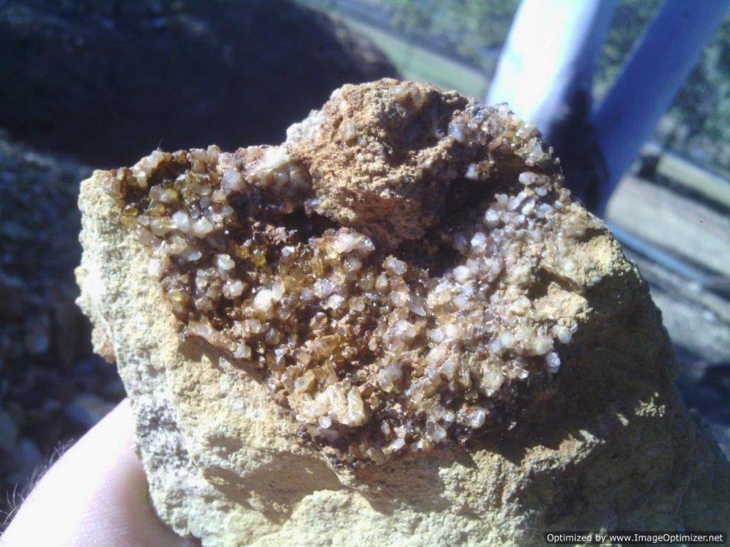
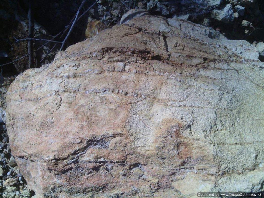
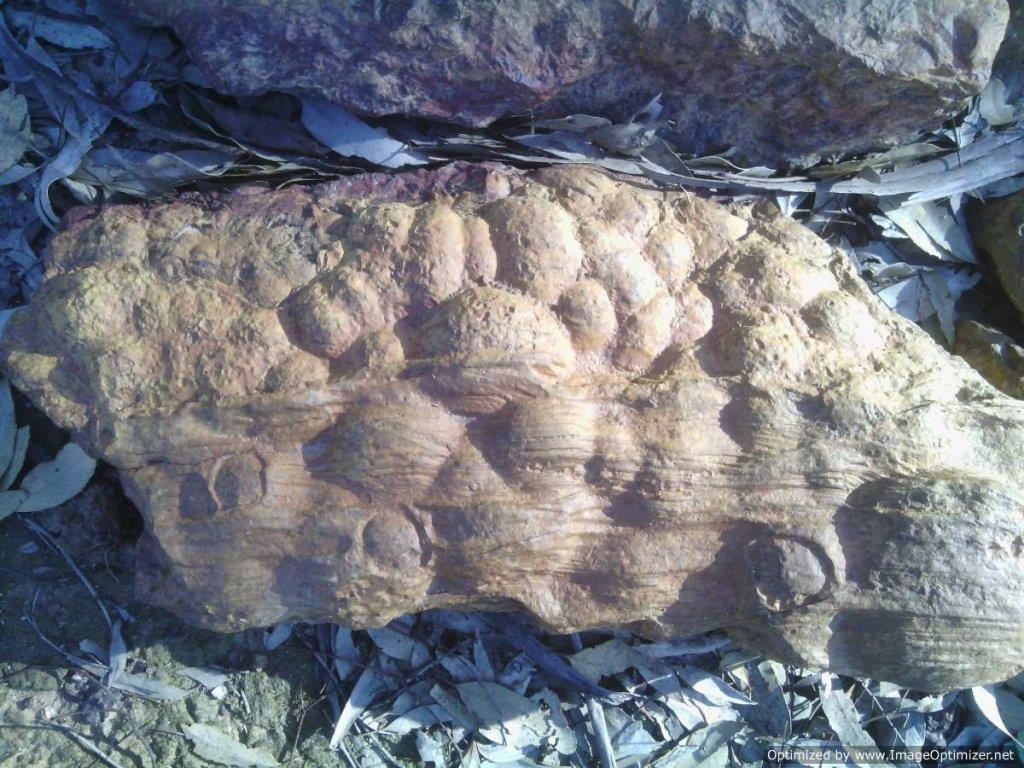
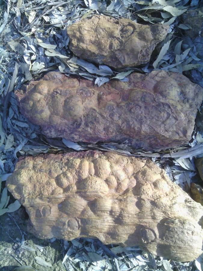
I may be wrong (as the wife often says), but the last pics look to be a permeable sedimentary sandstone type, coupled with ironstone intrusion
These bubbly type structures have spaces between the grains that can hold air and water, and allow air and
water to flow through so being porous (spaces between the grains) they give the liquids and gases a flow path.
Atmospheric pressure on the surface of the water then pushes water into the spaces left behind by air.
The water then flows into the bottom of these samples, as the air rises to the top.
This may, or may not indicate its possible you might strike a water table if you sink deep enough aiming to hit bedrock in the area these originated, or these structures are actually part of the bedrock?
Sorry, didnt realize you had actually discovered the cropping quartz reefs already.....good work!
Yes, I would be concentrating on the ironstone with quartz intrusion, but you mention 2 reefs?
The direction you mention as NNW and obviously SSE is perfect stucture direction for Sheers, foliation etc
Could it all be part of the one reef that dips deeply into the ground for 80mt before cropping again, or are they more side by side 80mt apart.
If inline geographically, these dipping parts should receive more attention as you test and yes.....test both ways NNW and SSE.
Until you get nothing in one direction, then head in the other, as the gold count rises you will know your on the right path.
Sometimes test results can drop off and then re-instate again further along, but you get the picture!
Looks like the area shows great promise and thats why the old timers were there! Maybe the vein dips were too deep for them to access but could be where the gold is. Anyway you have a major advantage, you have ANFO!
Remember to brace the flat screen TV before you det.

Good luck mate, keep us posted


