You are using an out of date browser. It may not display this or other websites correctly.
You should upgrade or use an alternative browser.
You should upgrade or use an alternative browser.
Ringwood, Croydon goldfields..?
- Thread starter AtomRat
- Start date

Help Support Prospecting Australia:
This site may earn a commission from merchant affiliate
links, including eBay, Amazon, and others.
Hi Atom
My understanding is that Ringwood Lake was part of an Antimoney mine & probably gold in the creek flowing out of it
There is gold in Mullum Mullum Creek
There was a gold mine at Blackburn possibly at Blackburn Lake
There was gold found at Doncaster
Never heard of gold in Croydon but wouldnt be surprised
My mate is a builder & panned gold out of a recent excavation in Surrey Hills
I am sure all Eastern suburbs of Melbourne contain gold but as per history of early settlement we have built our houses right on top of the gold
I know of people in Ballarat that are prospecting under houses & in the gutters & getting gold especially near Sovereign Hill
It all gets back to the old saying "Gold is where you find it"
I would love to find gold in Kilsyth that would be awesome
Regards
Dirty Harry
This was an old post harry someone revived, yep I read all that info and mum told me exactly where it is as she lived around the corner from it and walked through on the way to school 
There is a poppet head (replica) and a few mining relics (skips etc) in the park at Ringwood Lake. Its been a few years since i've been there but I assume its still there. I can't recall if there was an information board detailing the history of the area or not. I was sure that I had a map showing the the diggings and mines of the area, but after a quick search I can't find anything so i'm now thinking i may have seen a map there. Hopefully someone local can have a look when they have a spare moment?
In typical fashion i've just found the maps. One map shows the location of the leases and the locations of two shafts, named Brights shaft and Ringwood shaft. Assuming their locations are accurate, google maps places them at around 27 Mt Dandenong Rd between Braeside Ave and Mines Rd. Both shafts were close together and connected underground.
The other map I found labeled 'Ringwood Gold & Antimony Mine, Ringwood' shows the traverse and longitudinal sections of the mine. It had 4 levels at 184, 244, 304 and 372 feet. Winzes connect levels 2 & 3, and 3 & 4. The map also shows some surface workings and several other small shafts. This map is dated 20/12/1921.
Hope this helps someone!
EDIT: Just found a 3rd map showing more shaft locations.
Directly north to the previously mentioned shafts, Brights and Ringwood, was the location of the 'Ringwood Gold & Antimony Mine' (originally called Boardmans mine). It was located pretty much where the Maroondah City Council building is now, as was mentioned in an above article posted by Casper. 'Currans' shaft was located across Maroondah Hwy roughly where Leonard St is. A further two shafts were located to the East of these ones between Angus Ave and Velma Grove slightly east of the intersection of Valda Ave. I'm yet to find any information about these but have also just come across an article detailing the mining history of the area which i will look at when time permits.
- Joined
- Jul 20, 2016
- Messages
- 2,274
- Reaction score
- 2,272
G
Guest
I live near Ringwood lake and I'm taking my son over there for a play in the park later so I'll snap some pics of the mine display they have there and post em up for anyone interested.
That would be good, thanks.
Jaros
My ex kept all the photo's etc. from "that"marriage. World trips, cruise hols.-got SFA.

Jaros
My ex kept all the photo's etc. from "that"marriage. World trips, cruise hols.-got SFA.
G
Guest
Looks like the replica poppet head and cabin have been removed, no idea why or when though but it must've been in recent years as I remember seeing them years ago. According to the display, there was gold at Ringwood.
Here's the imgur gallery, but I'll post em here too - http://imgur.com/a/cnJm6
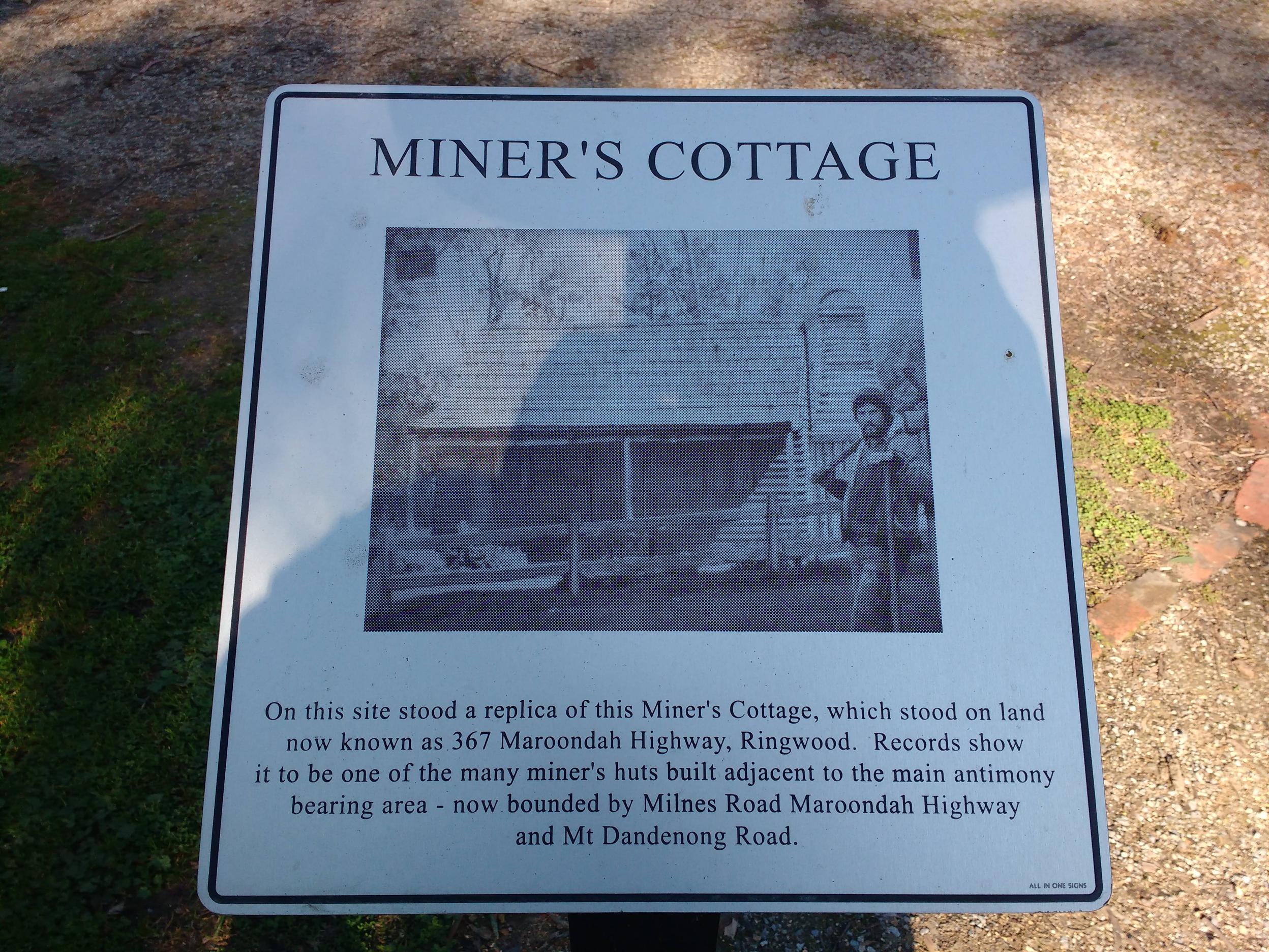
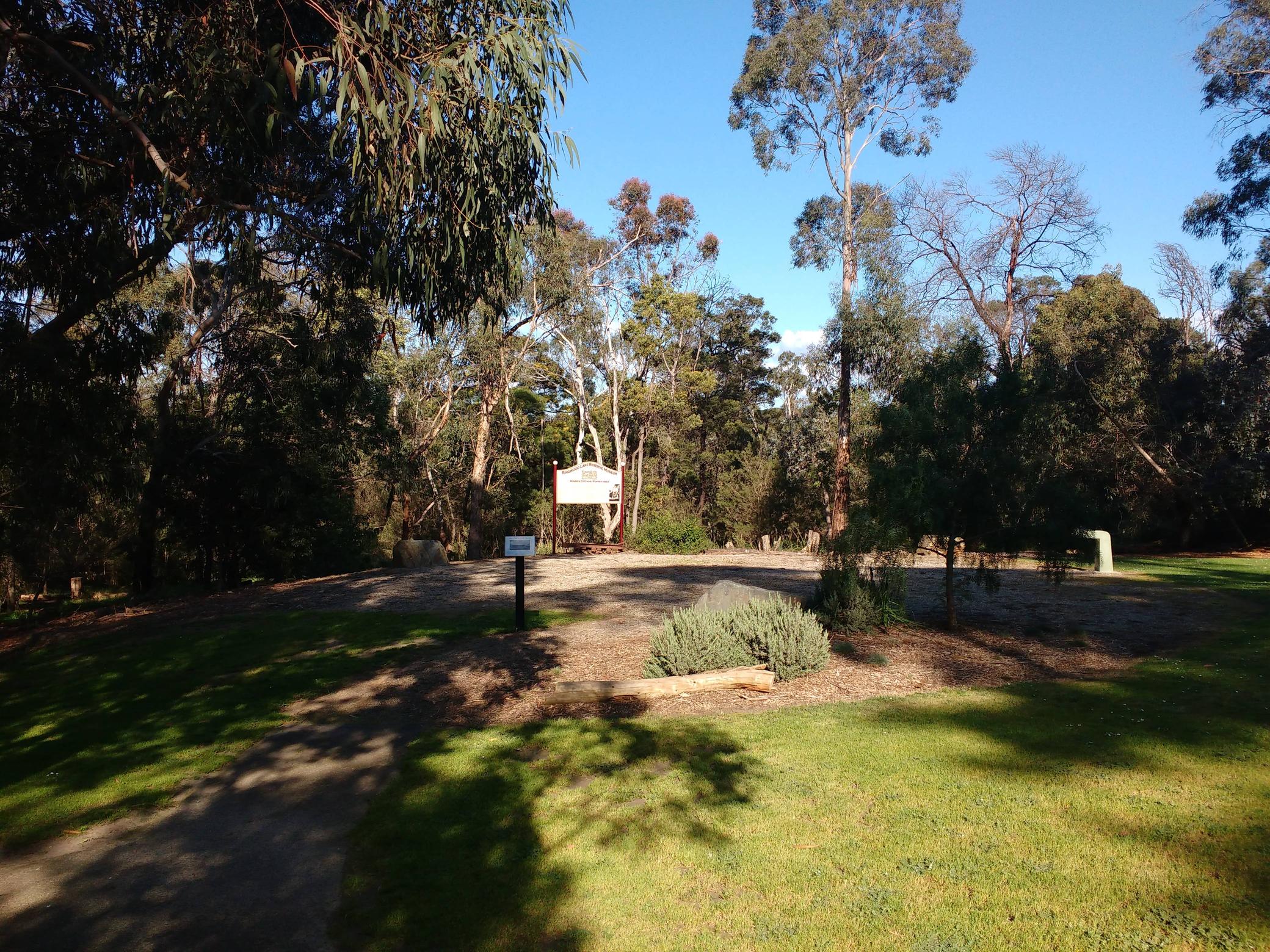
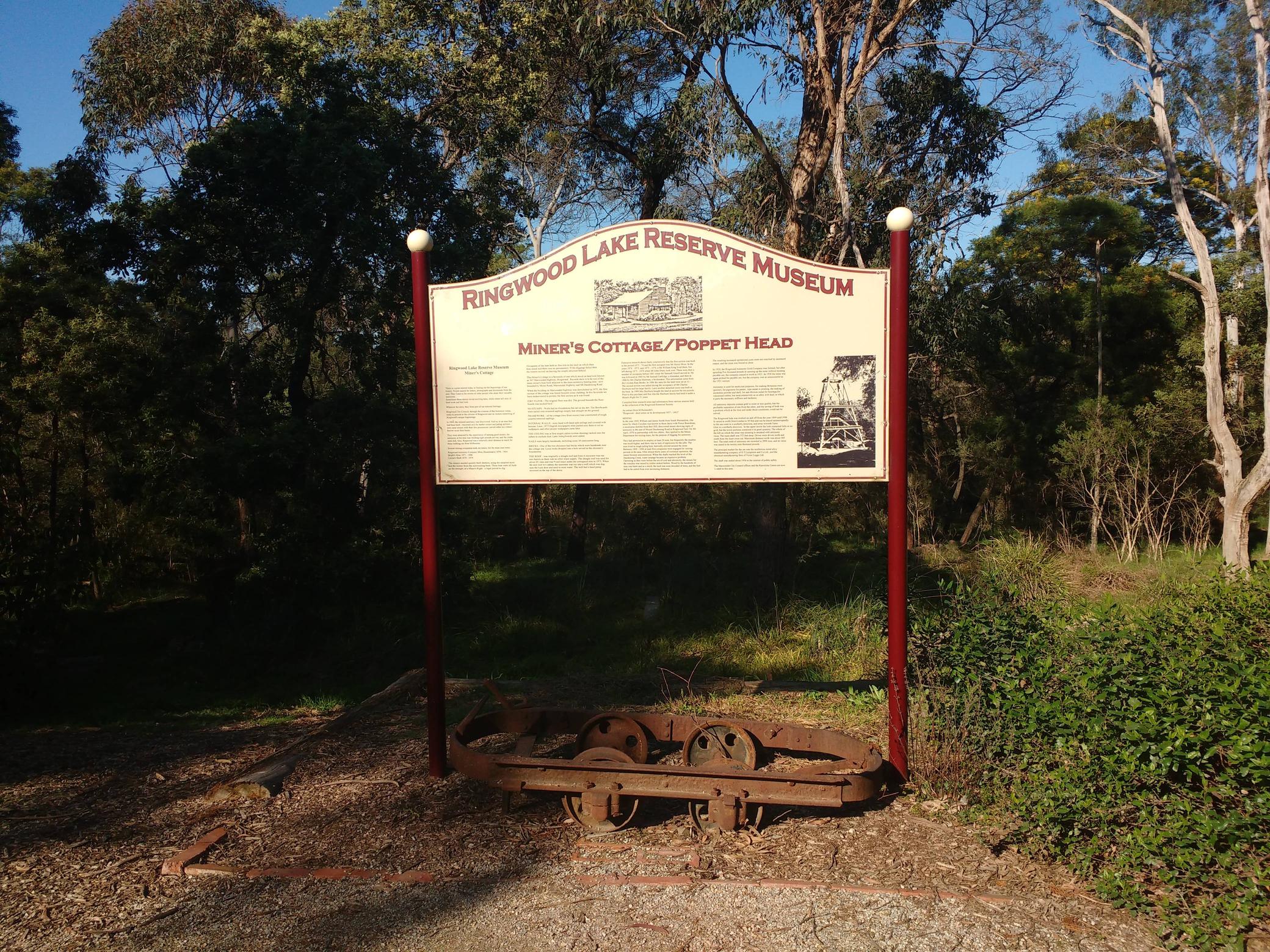
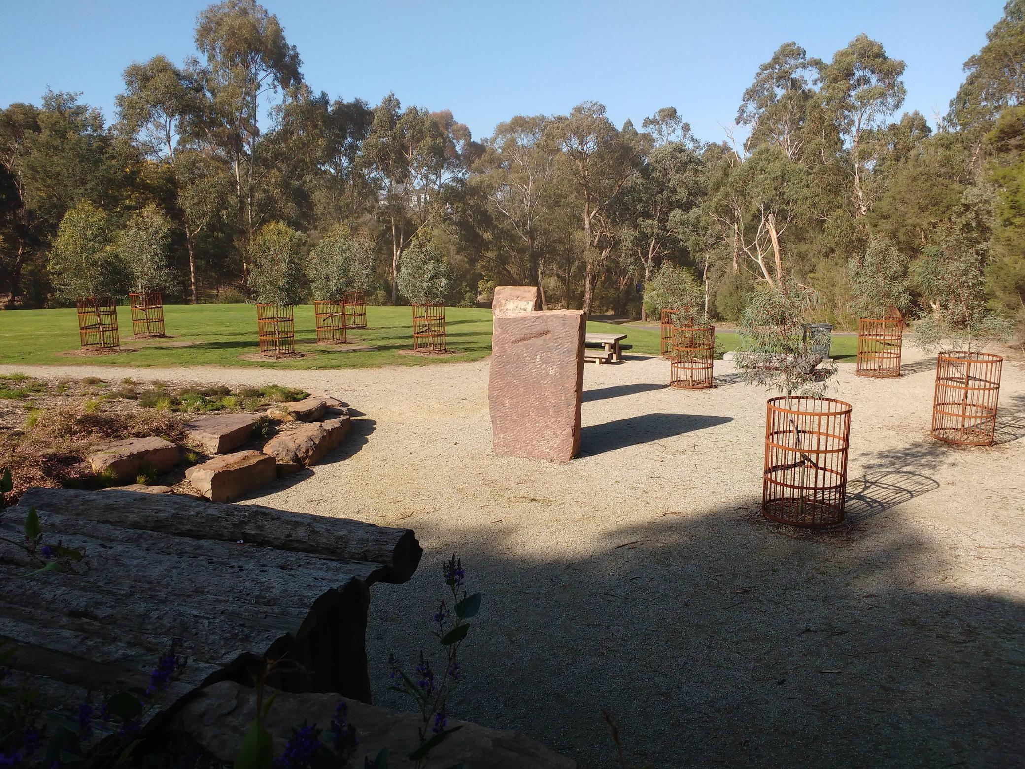
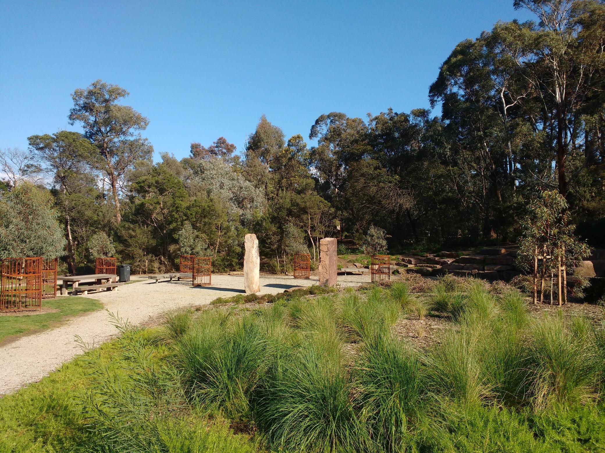
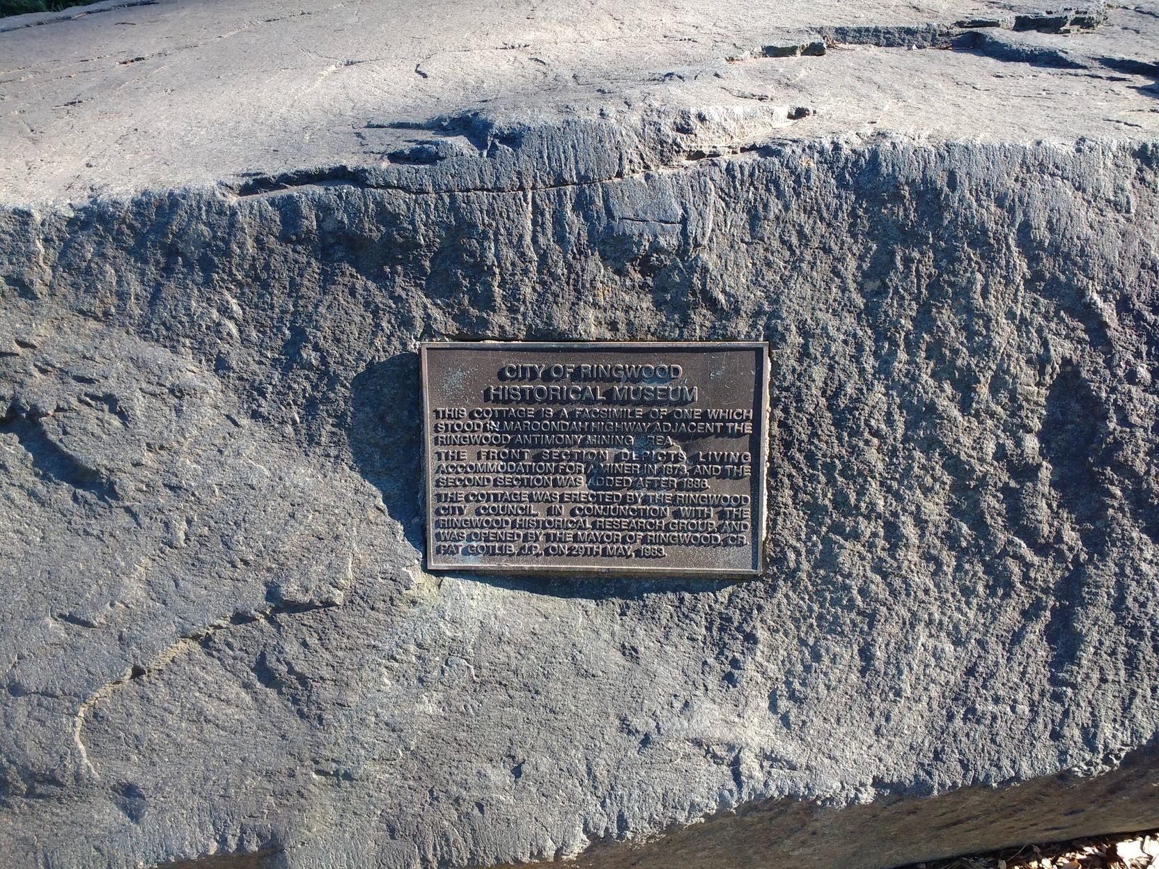
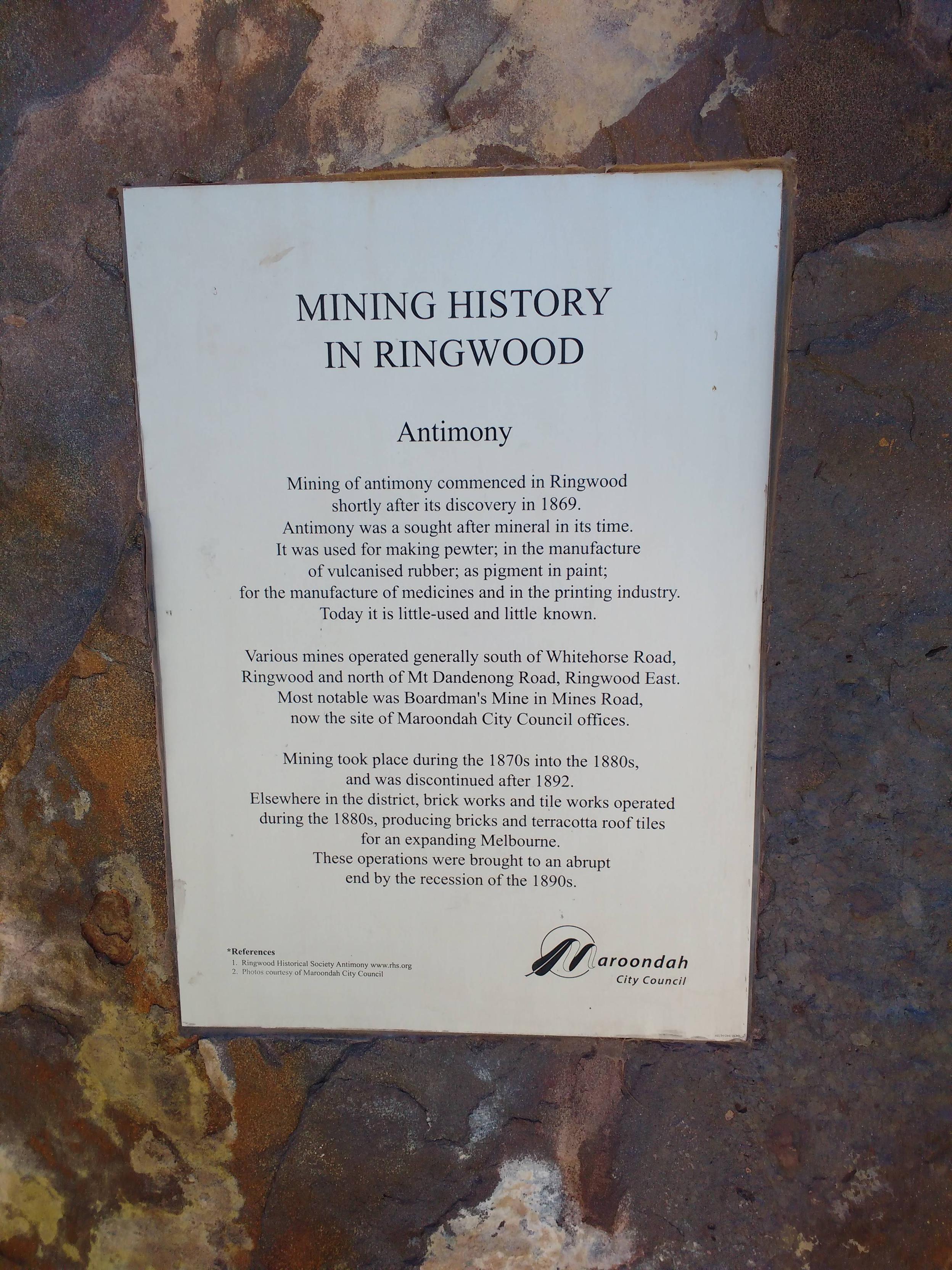
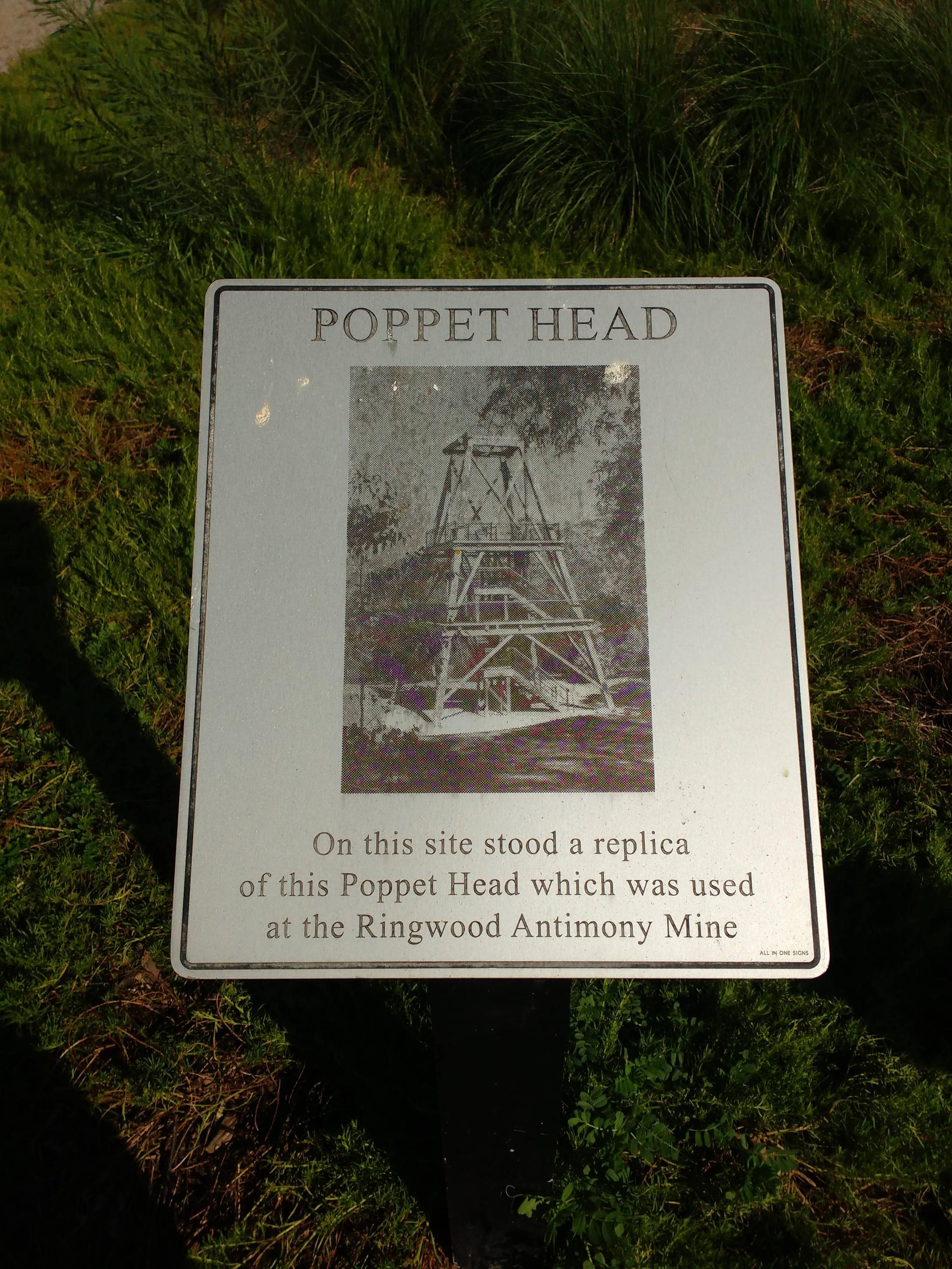
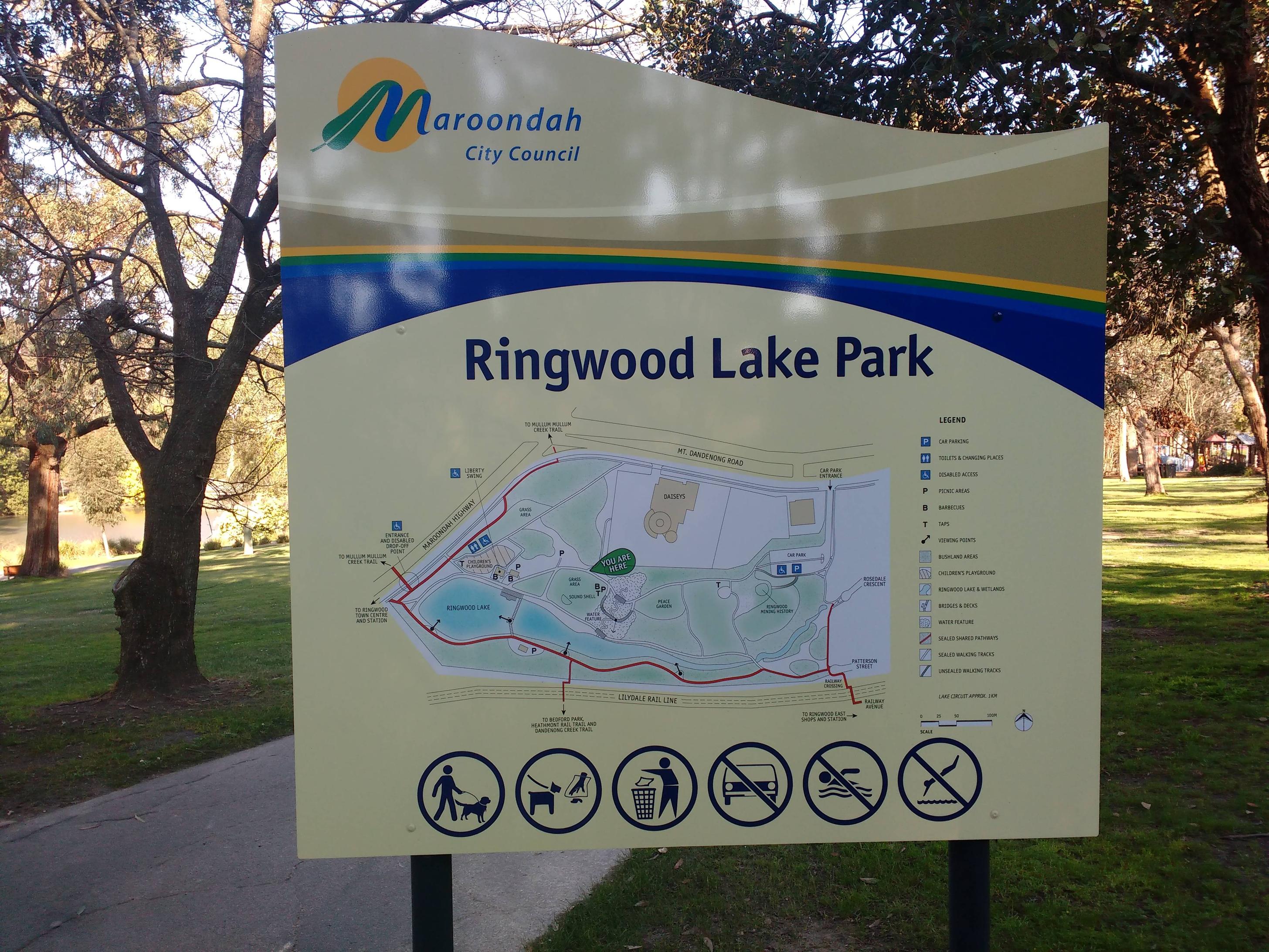
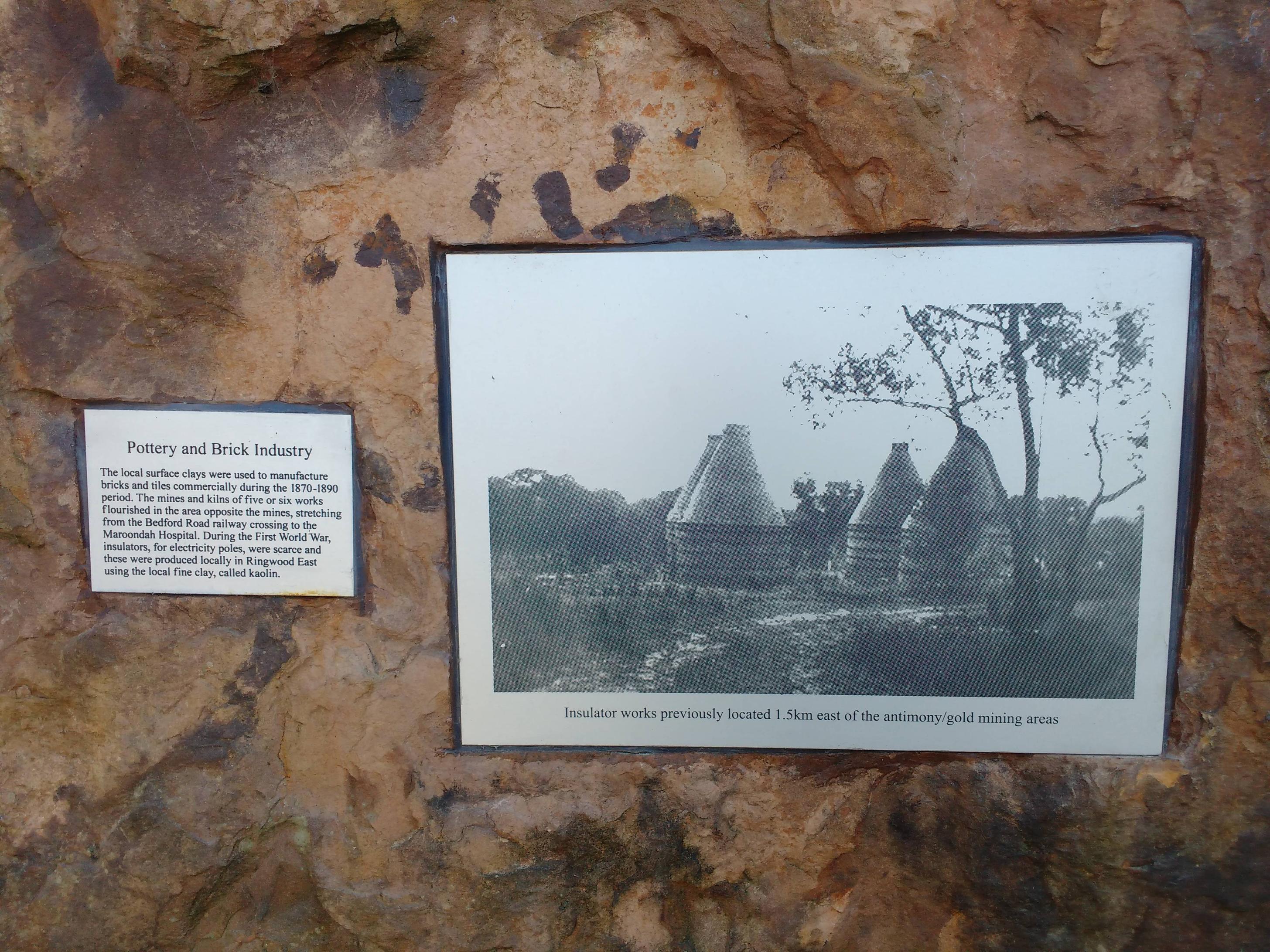
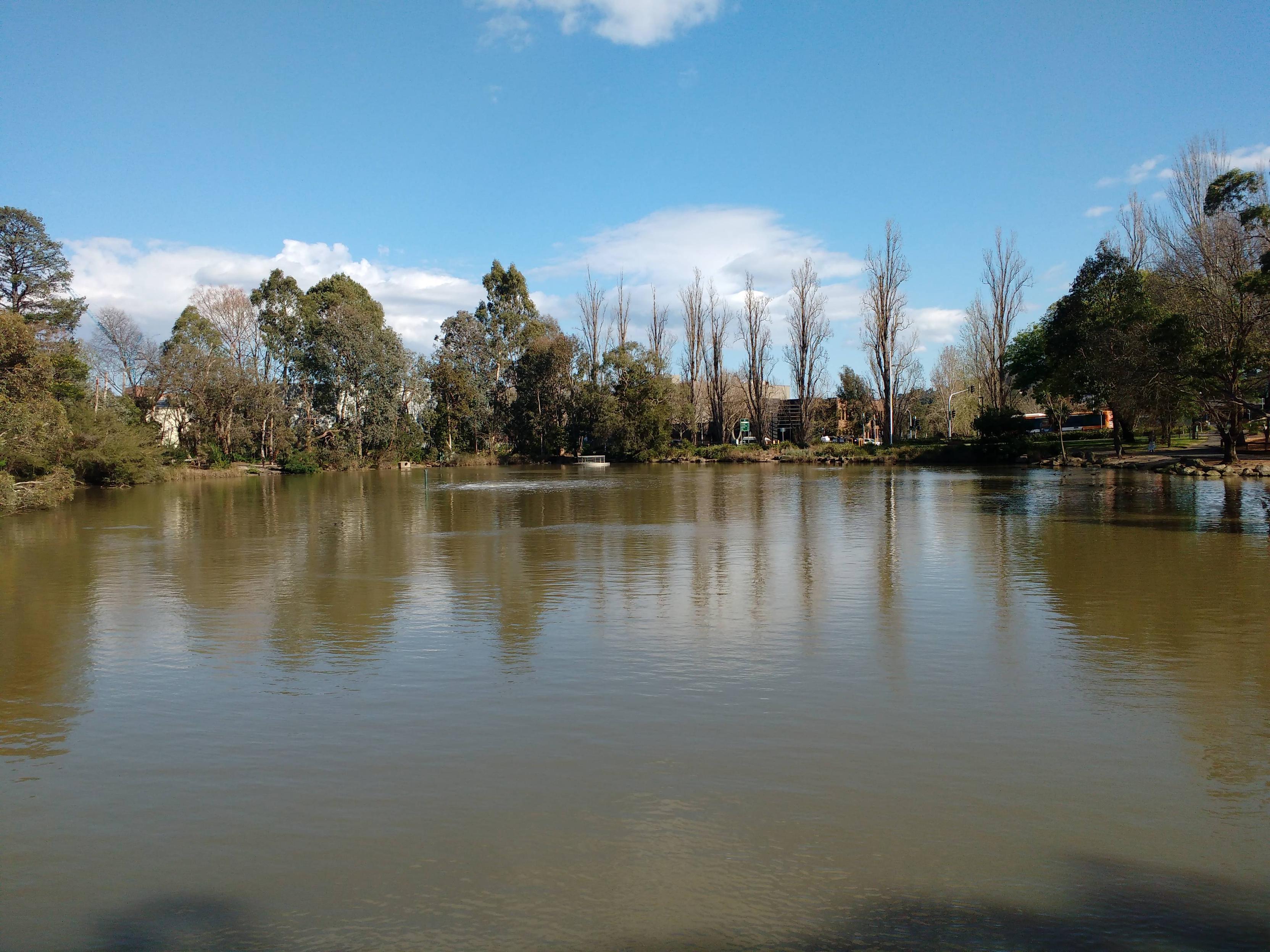
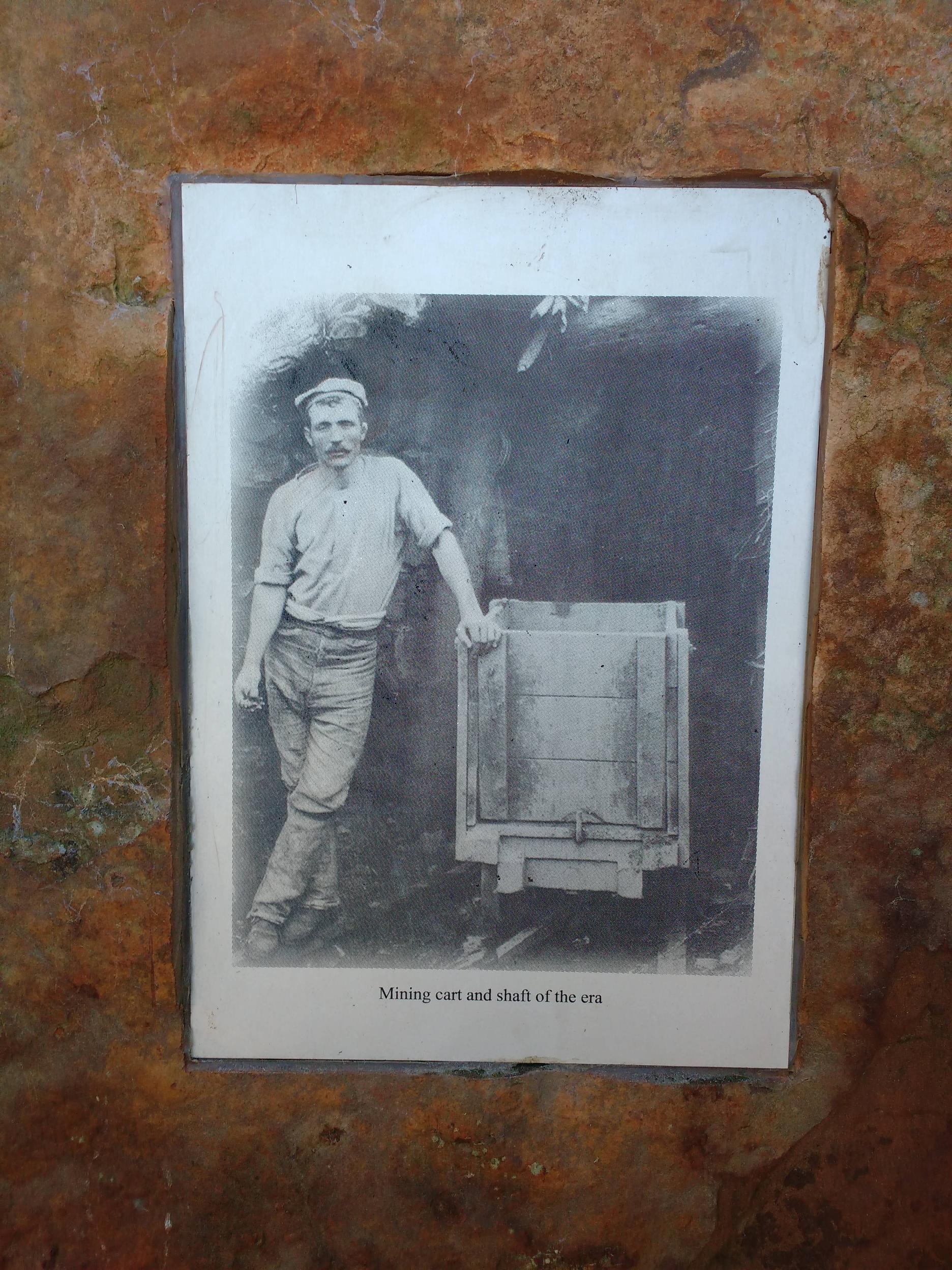
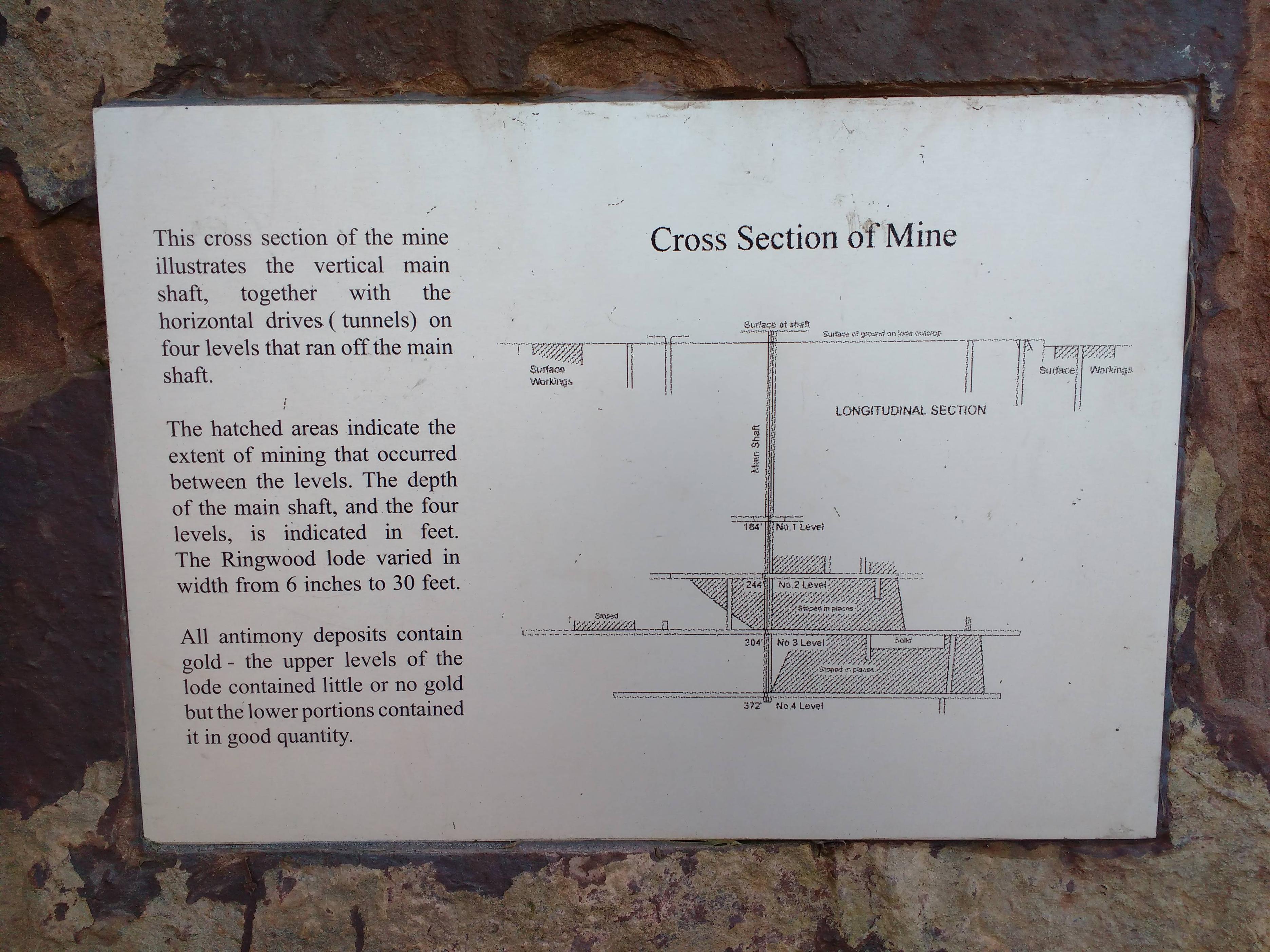
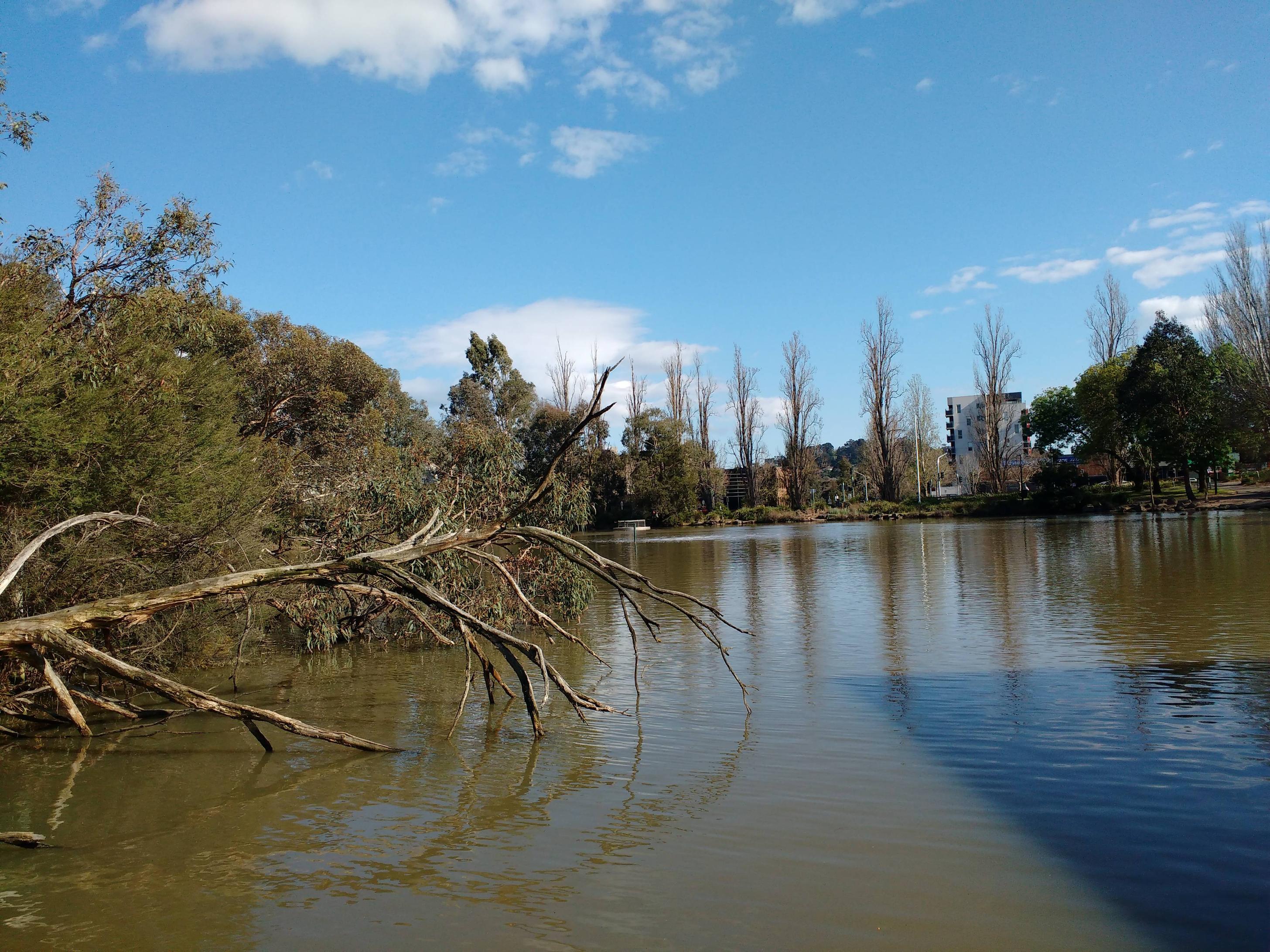
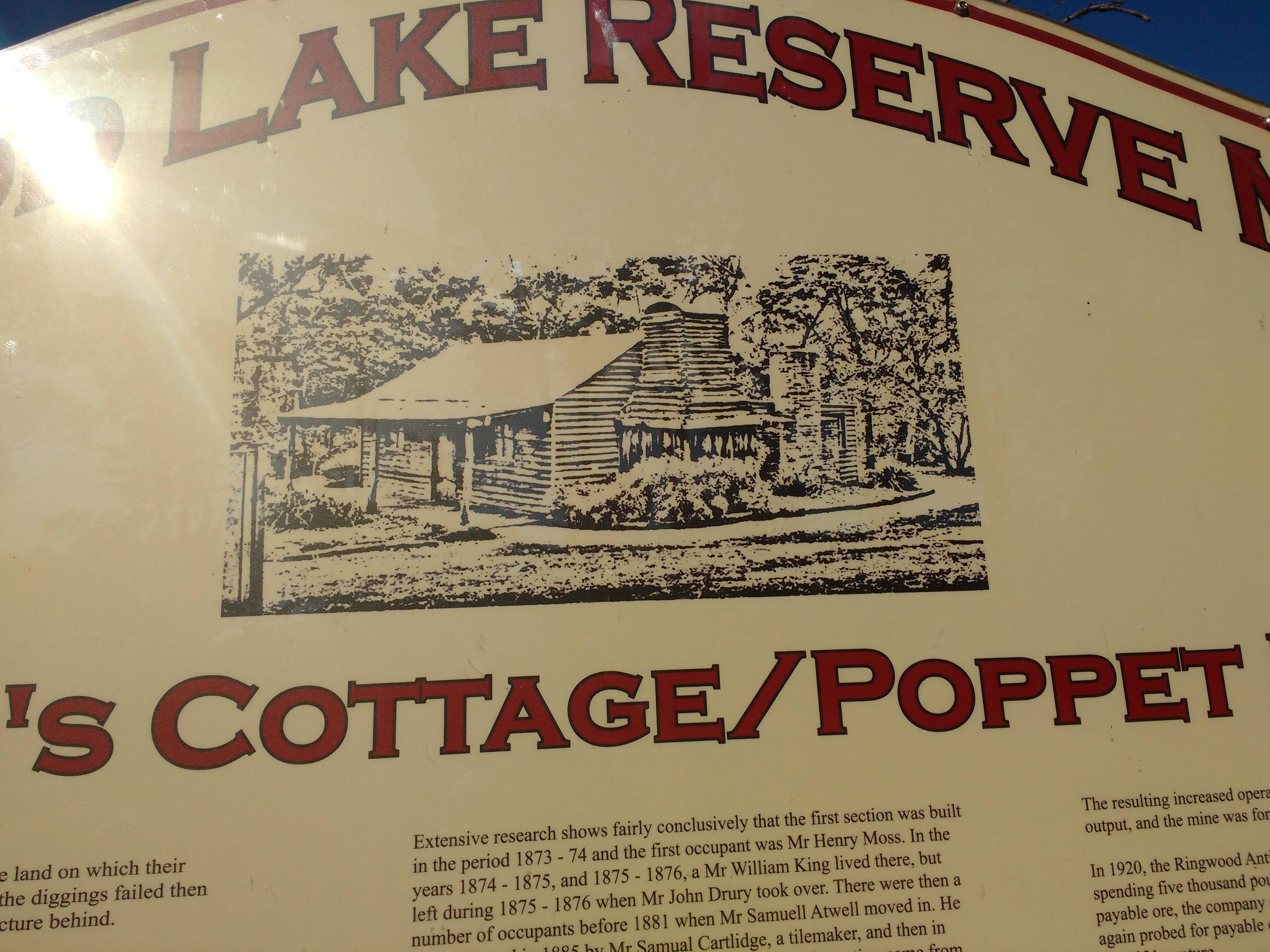
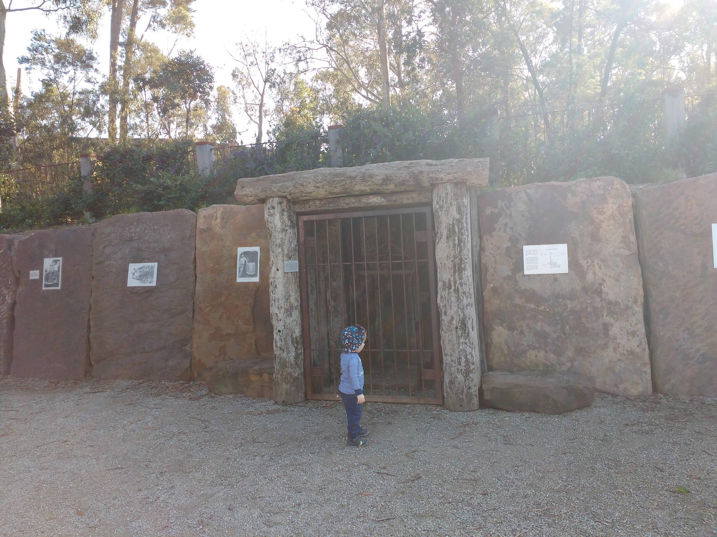
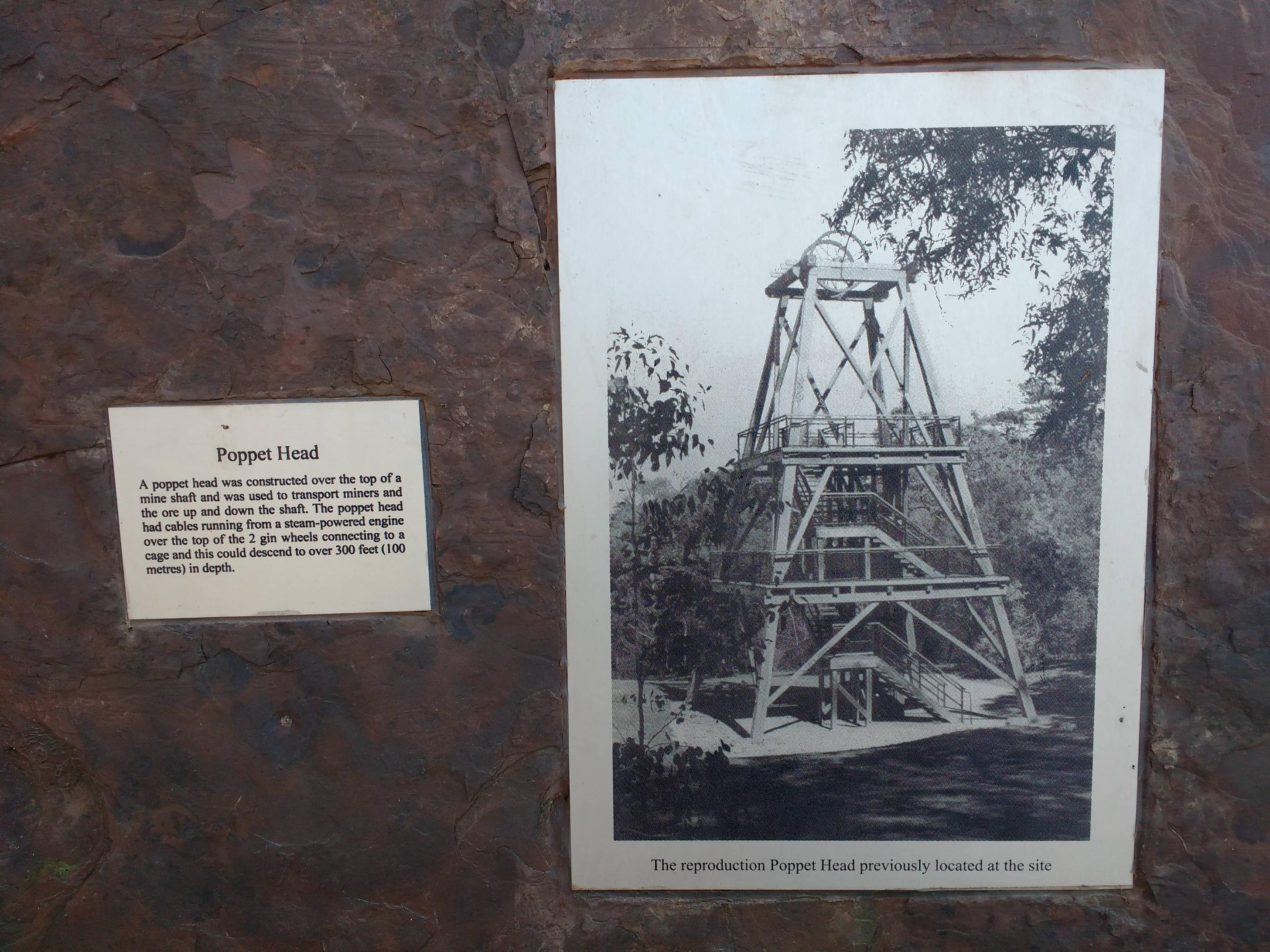
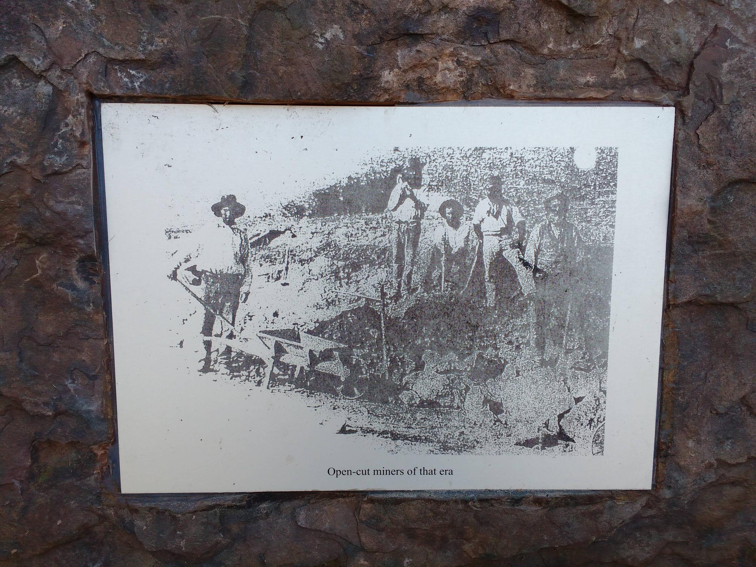
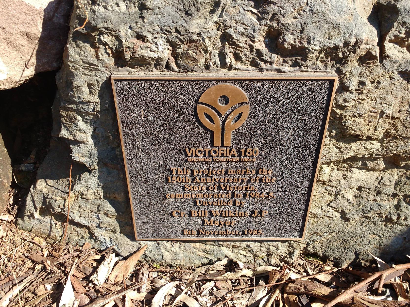
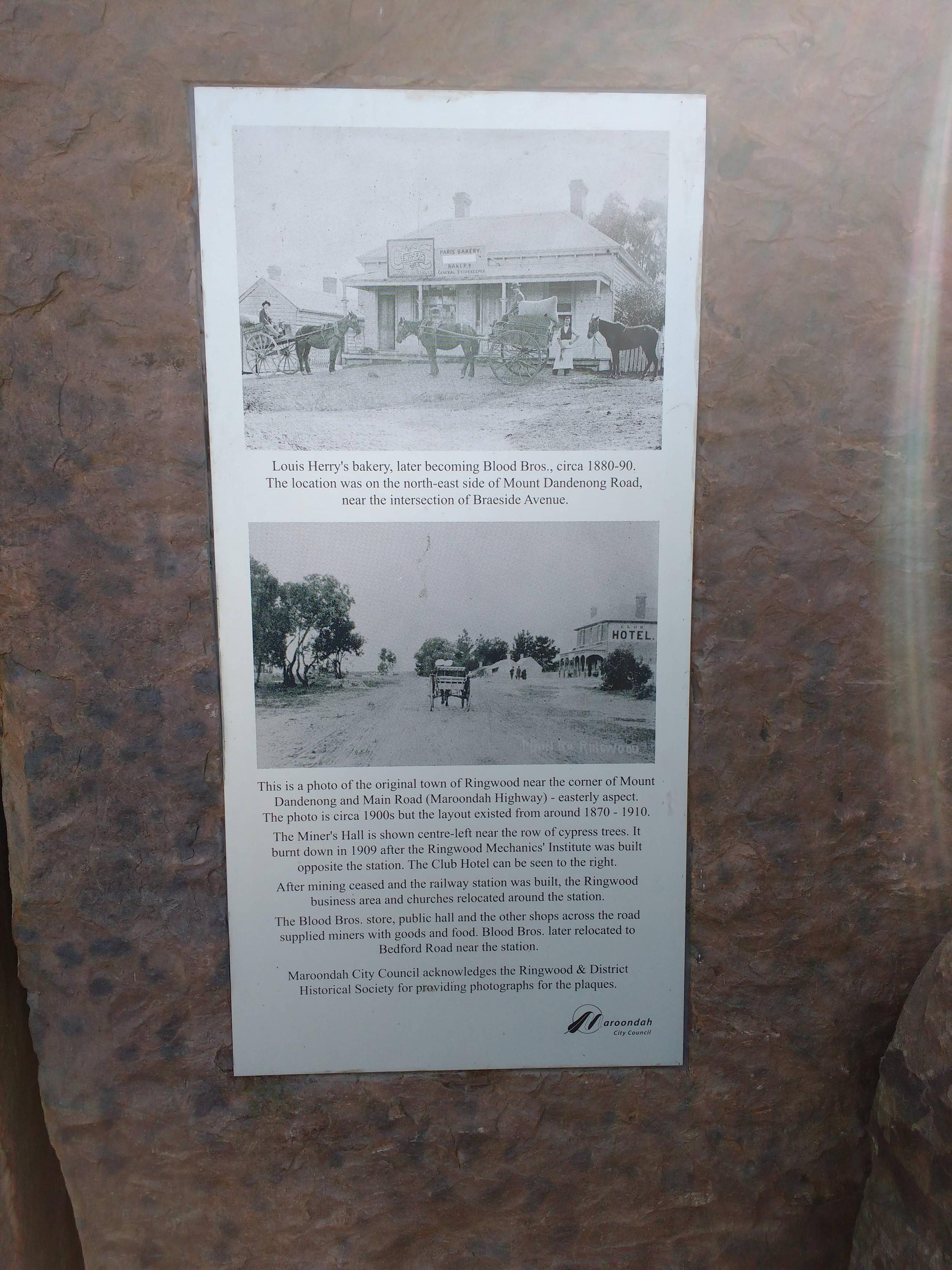
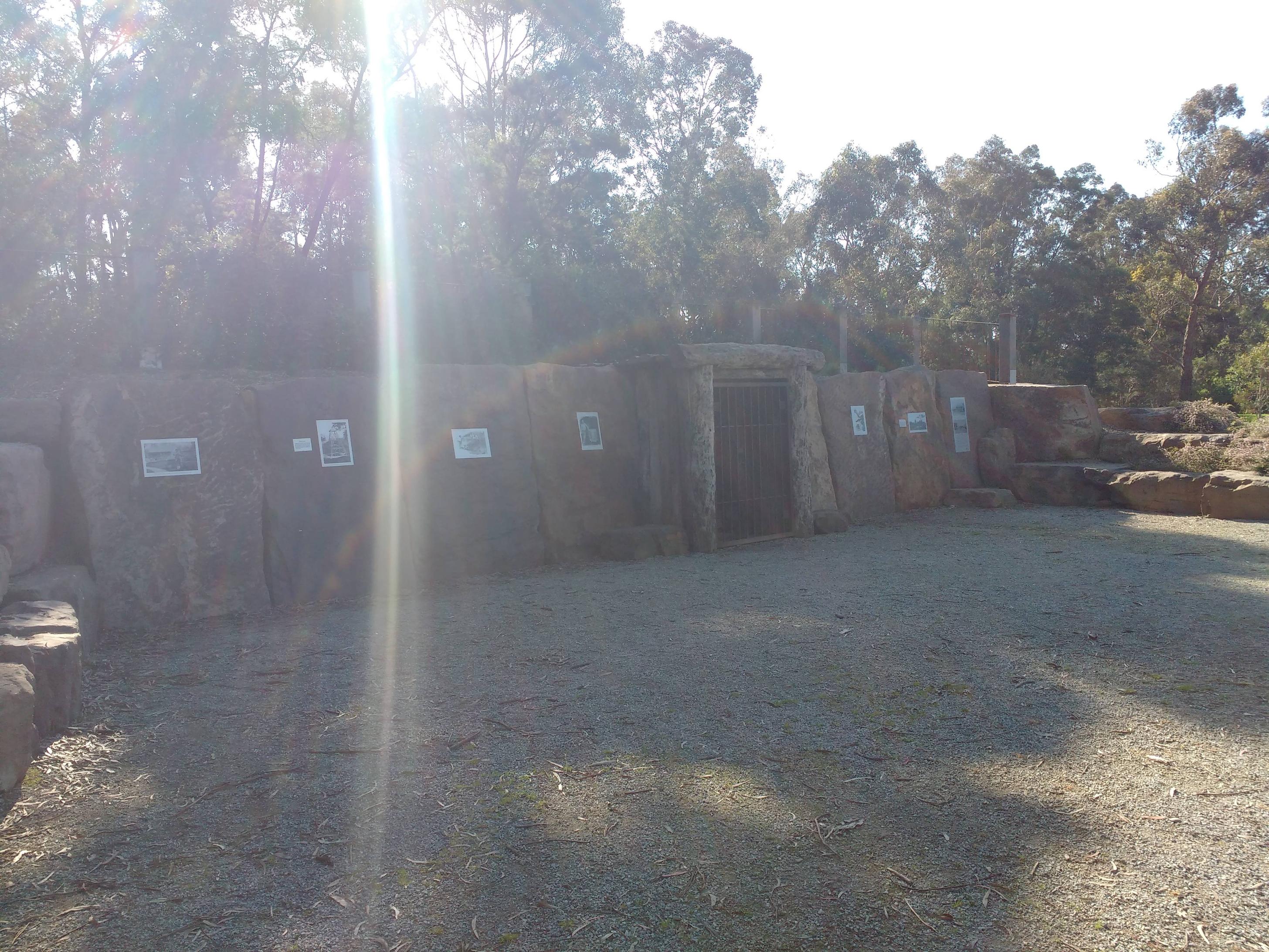
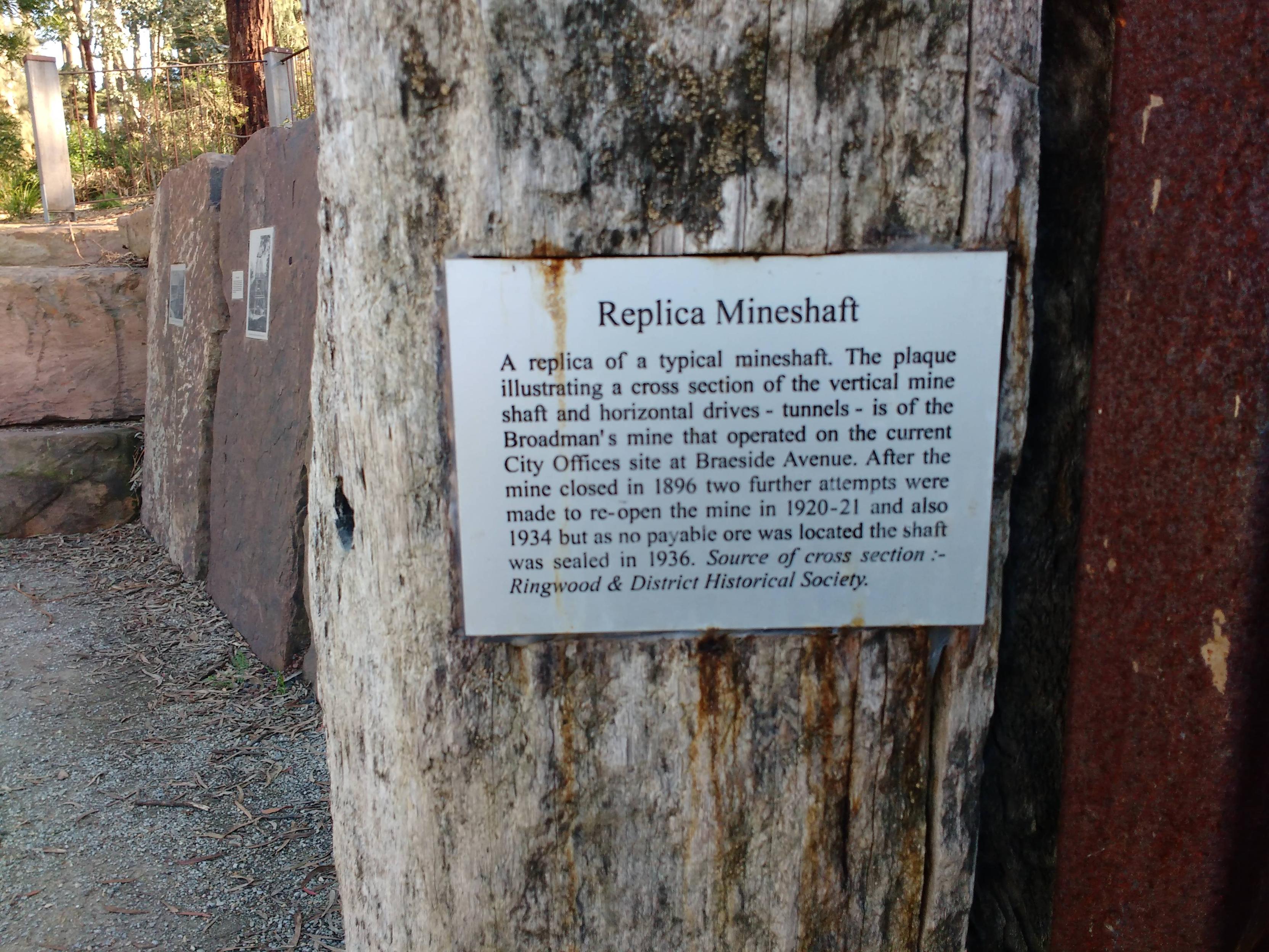
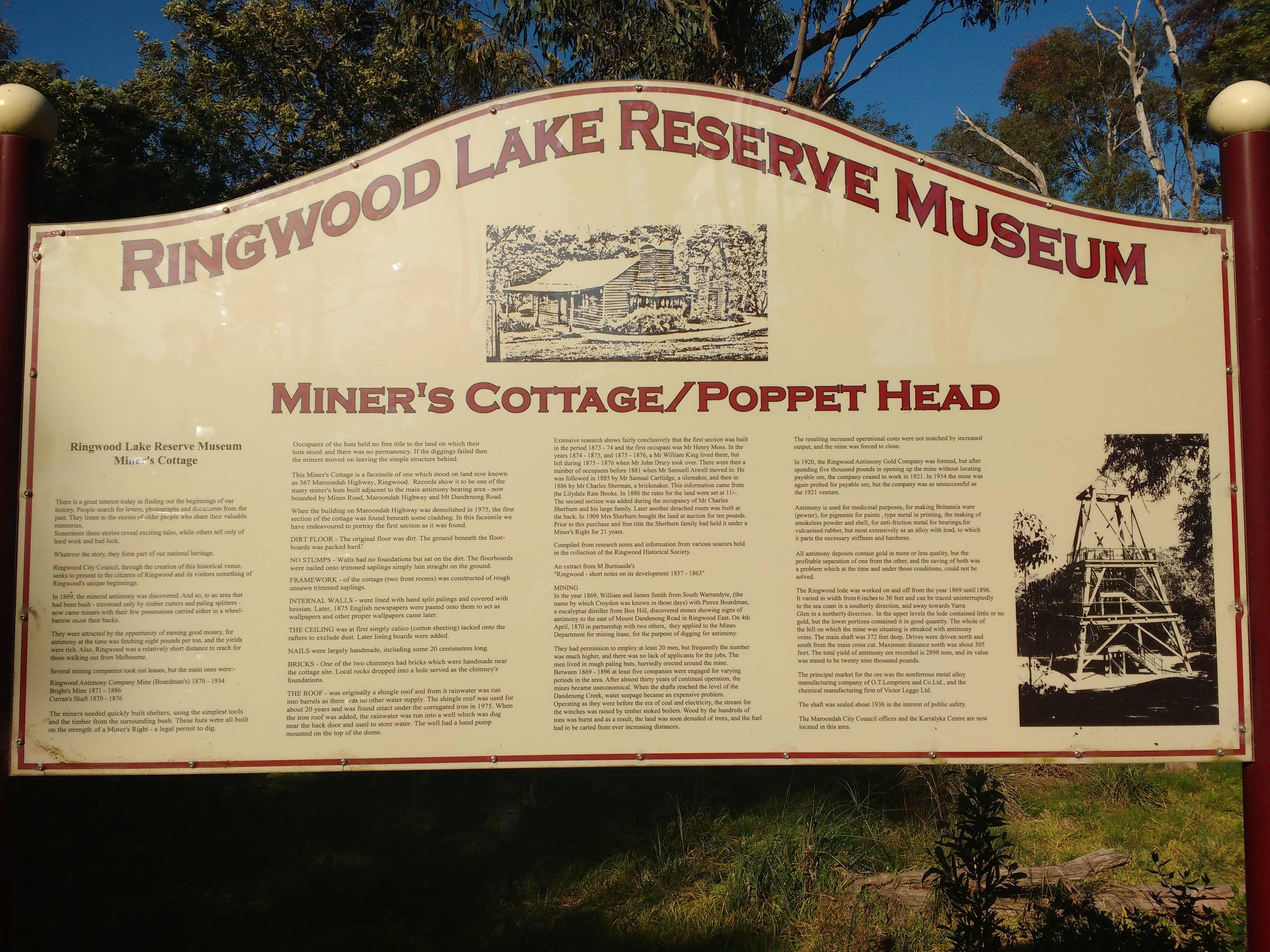
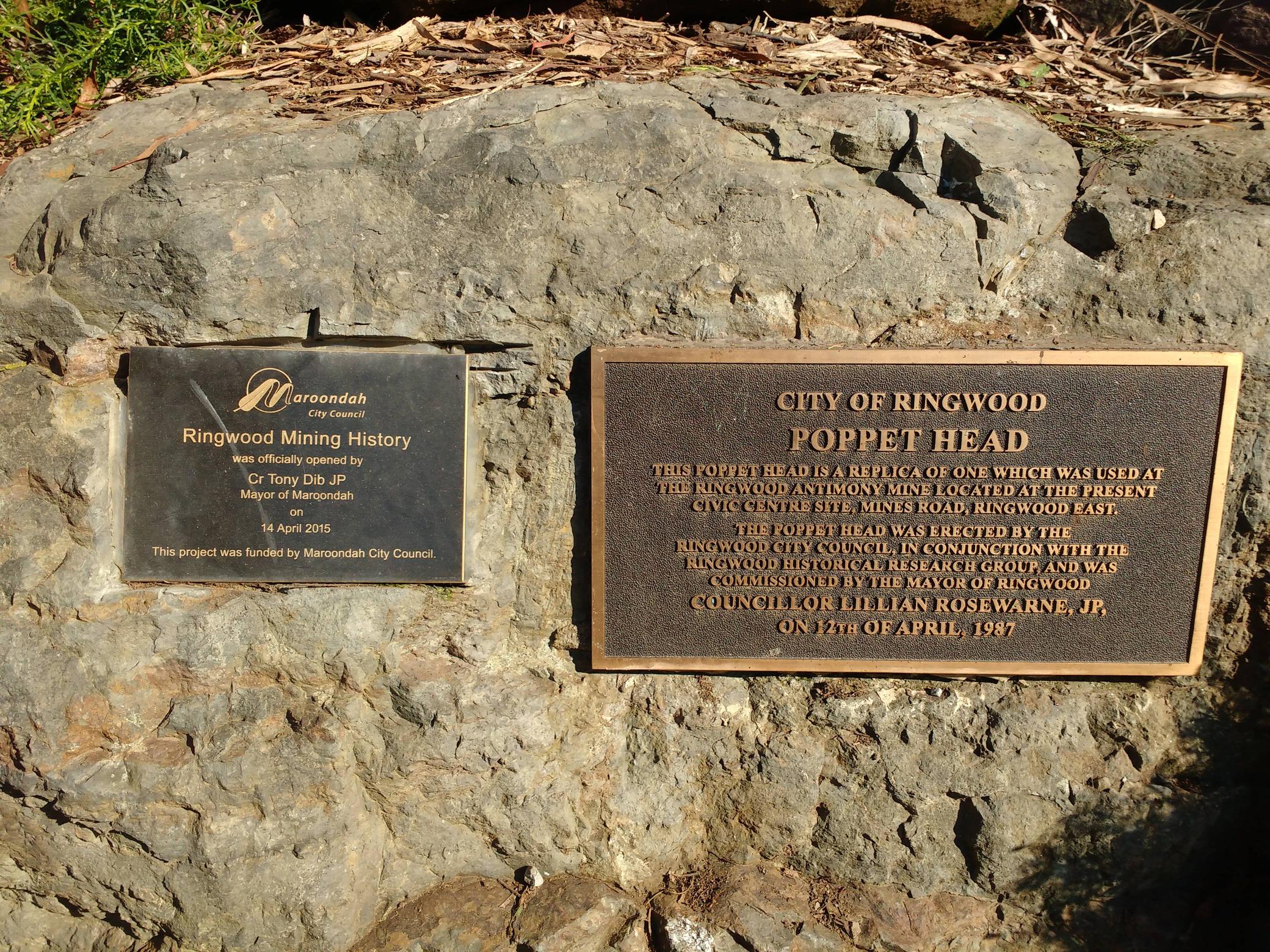
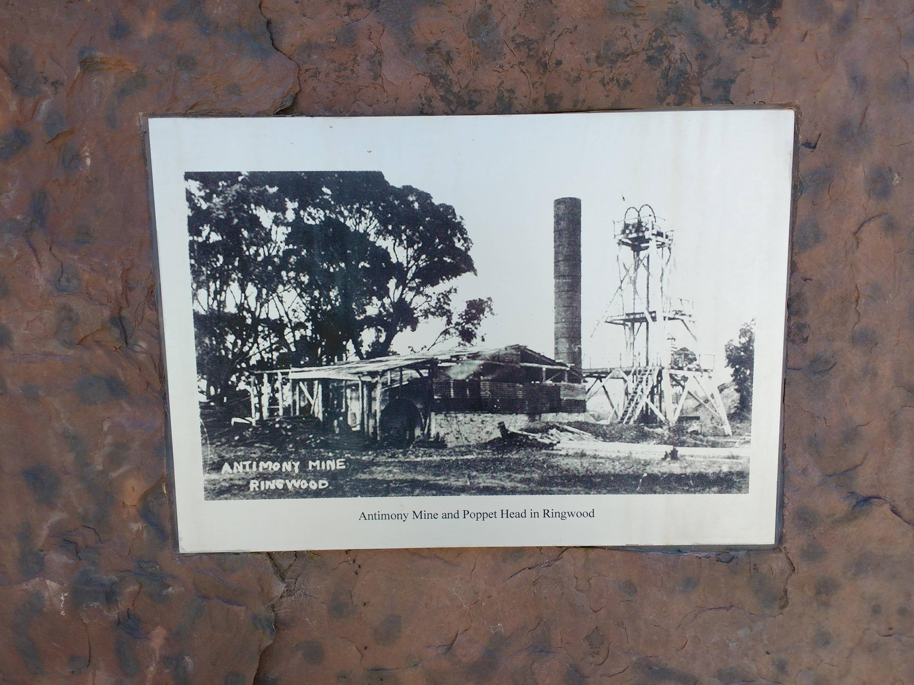
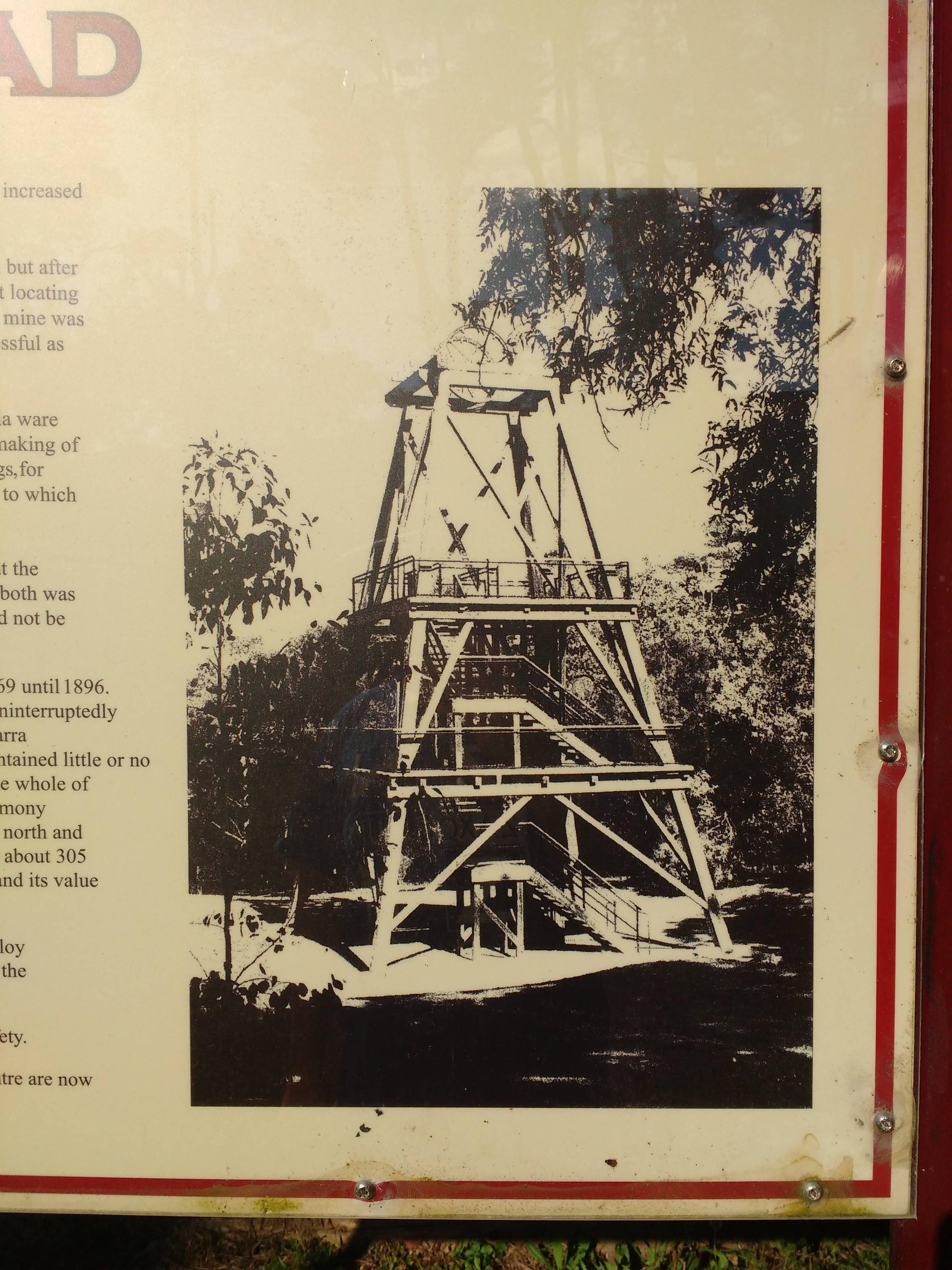
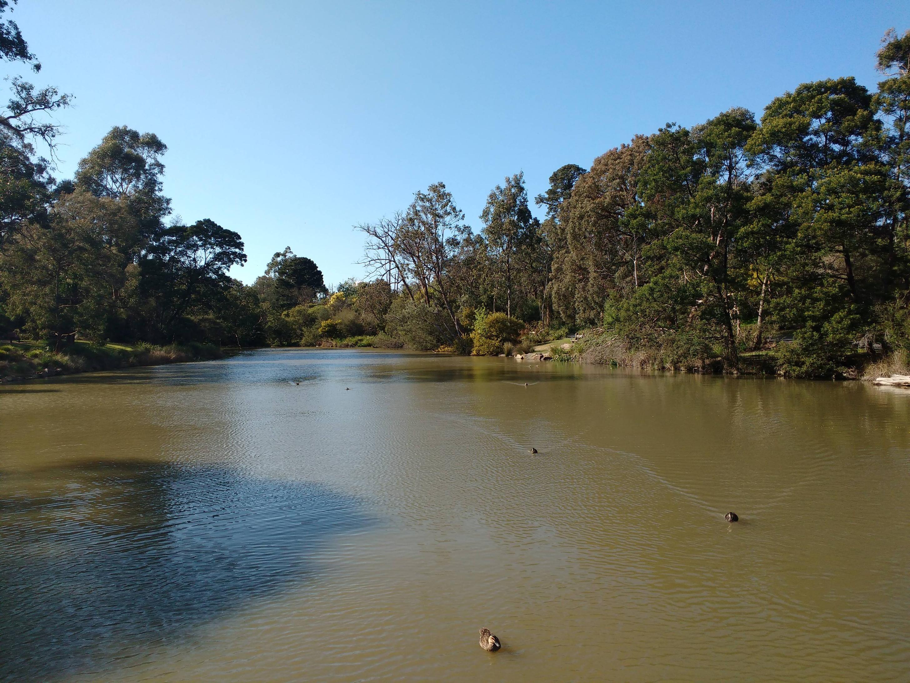
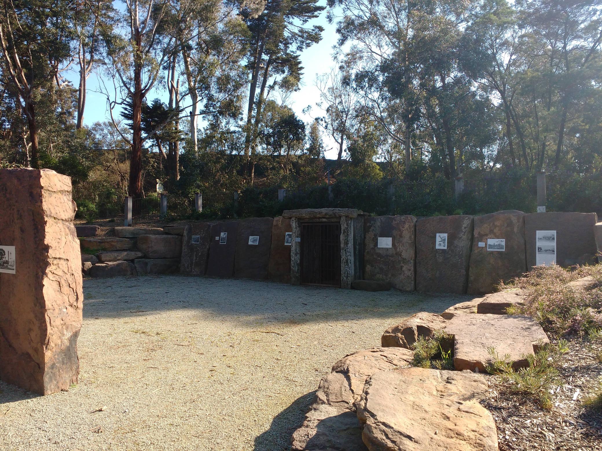
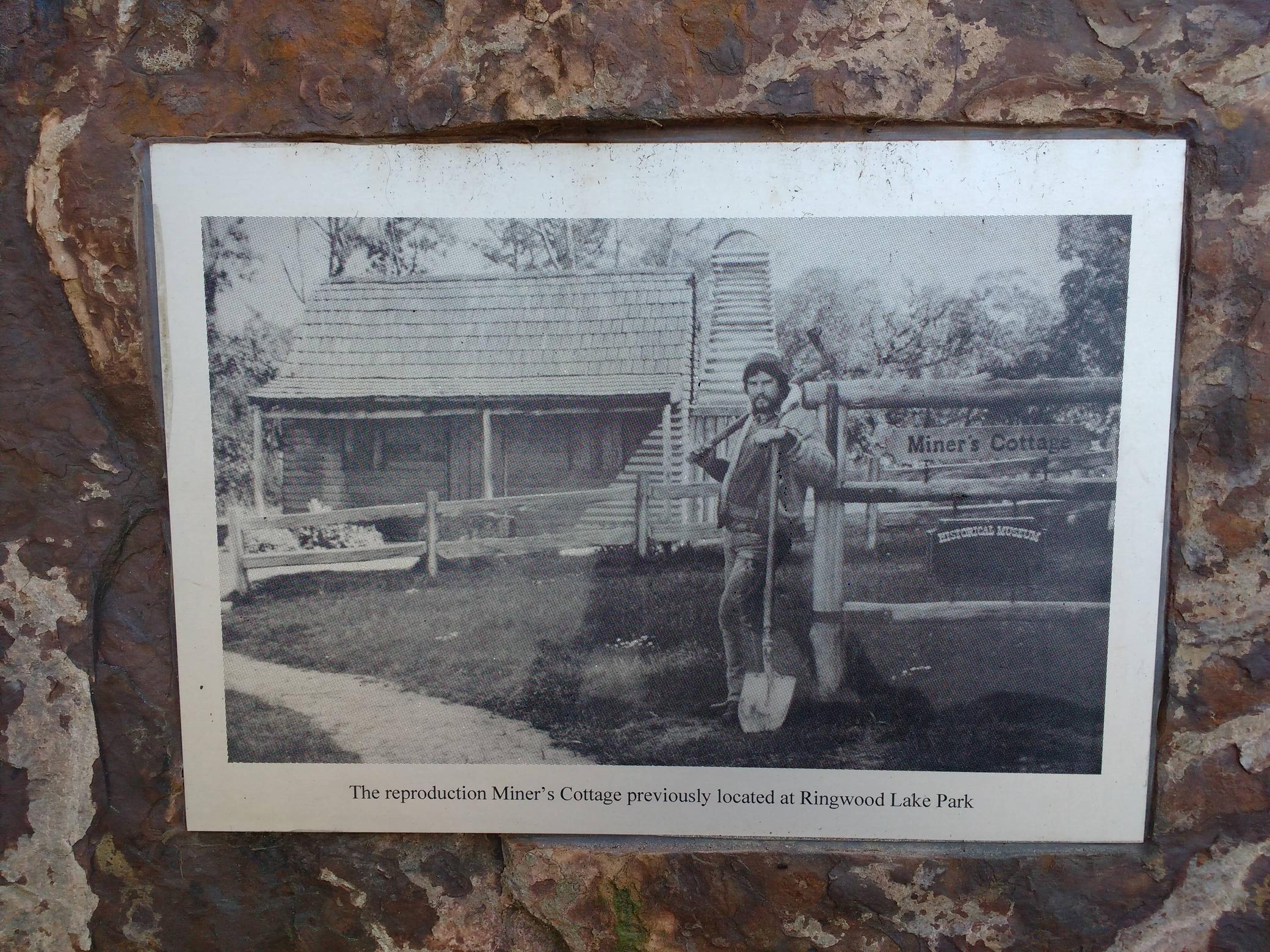
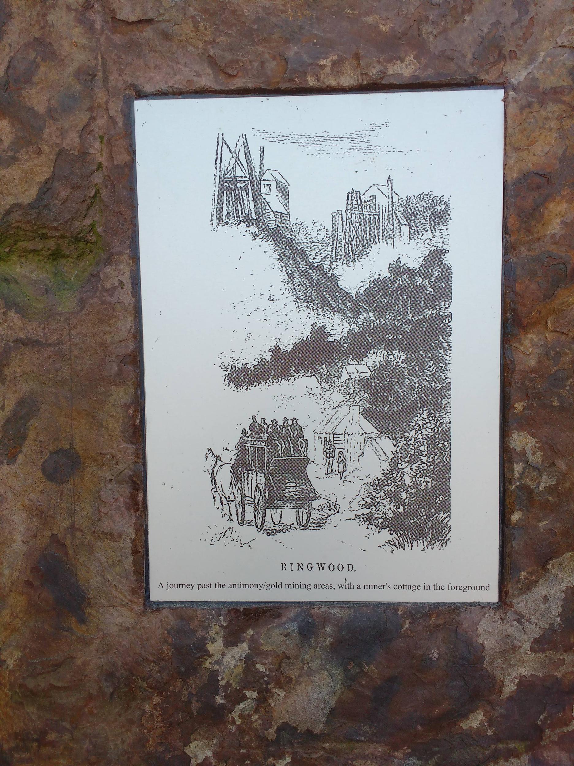
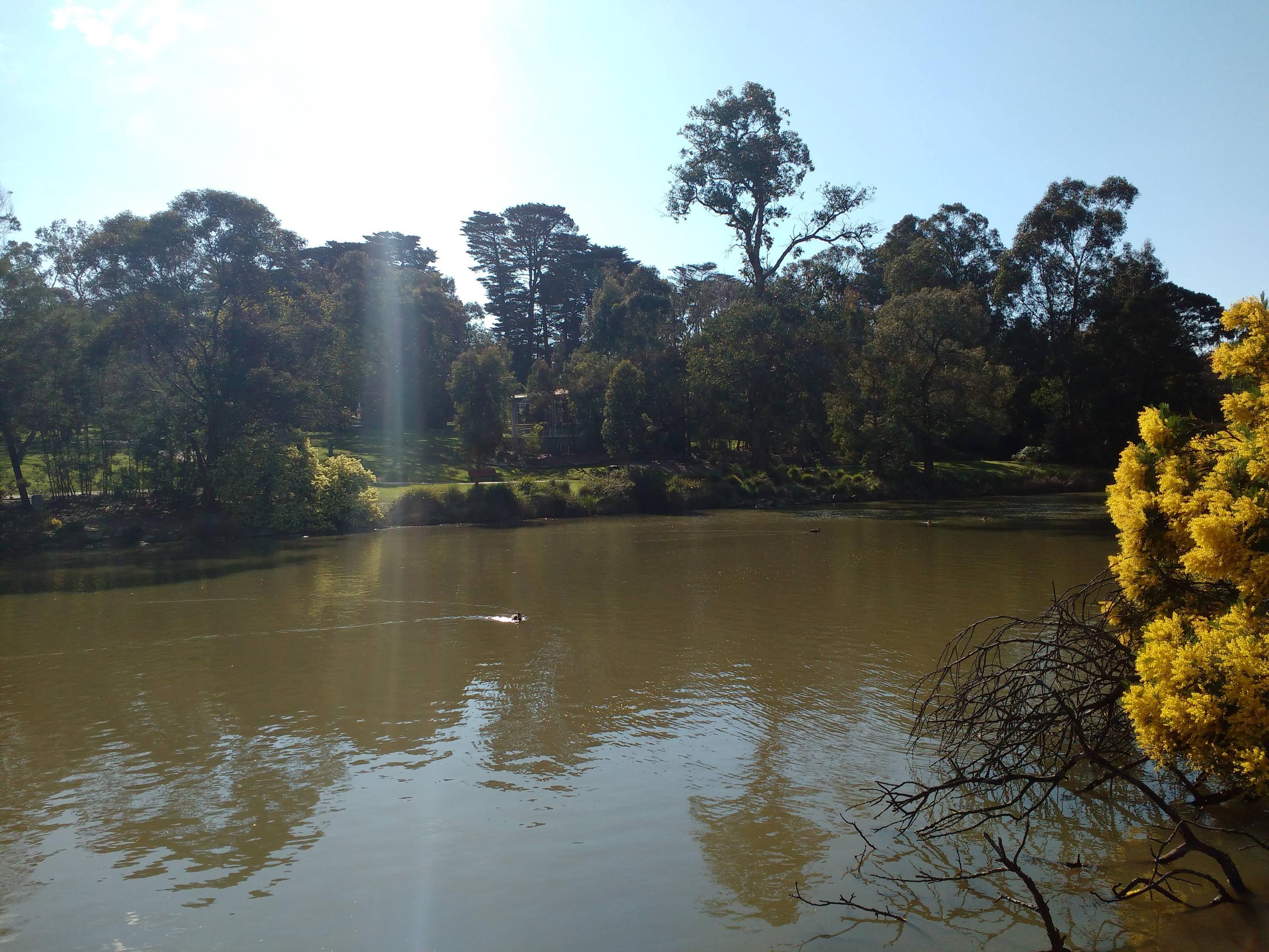
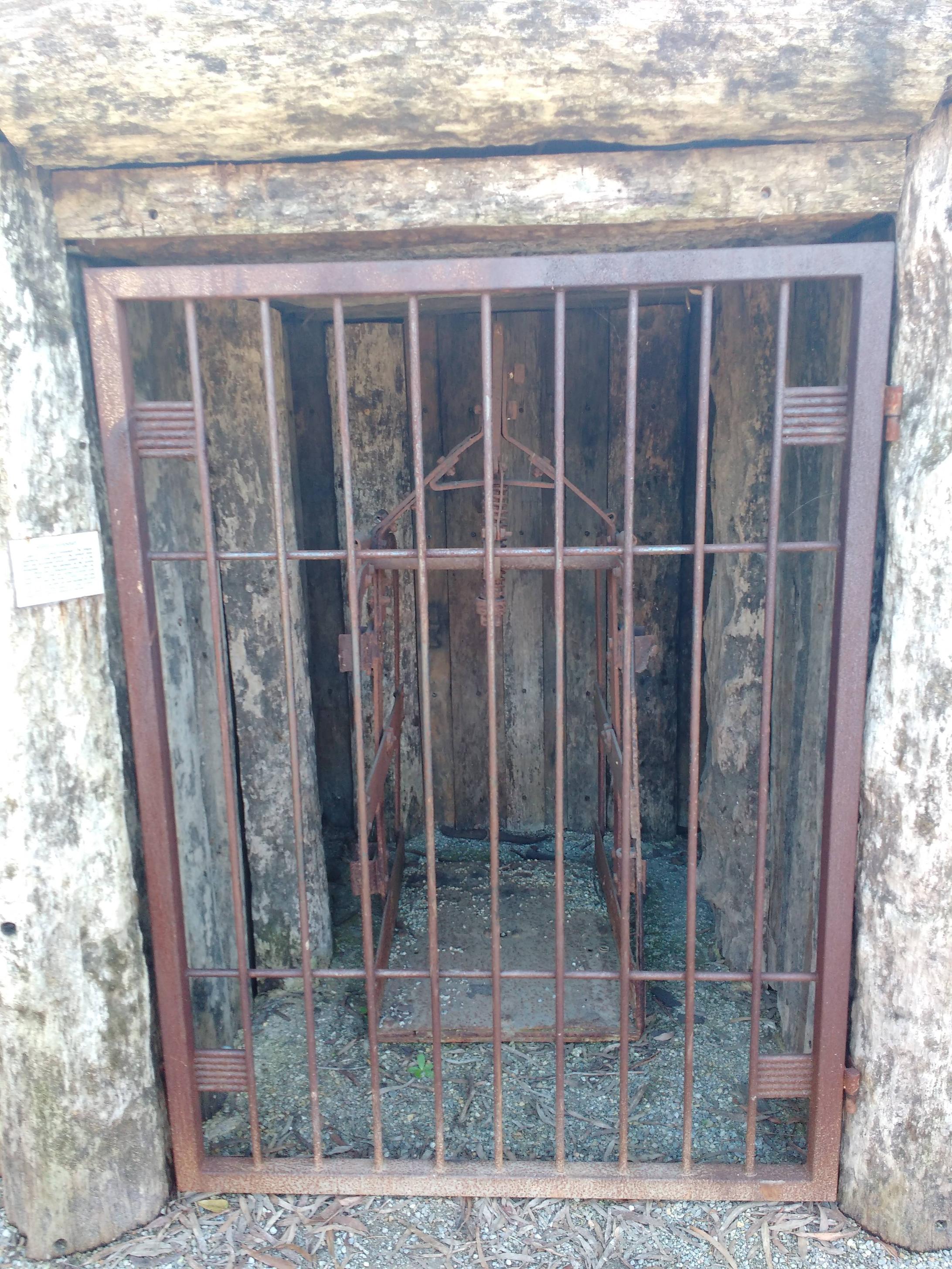
Here's the imgur gallery, but I'll post em here too - http://imgur.com/a/cnJm6


Thanks heaps for uploading the photos mate, I've got some memories of picking a few coins 
I always tell my kids there's a monster in the middle of the lake making the bubbles.. sure it will help them sleep :lol:
P.s - how awesome is eastland parking :|
I always tell my kids there's a monster in the middle of the lake making the bubbles.. sure it will help them sleep :lol:
P.s - how awesome is eastland parking :|
Thanks for the pics. Just think I lived around there up on the hill for a few years and never went down to the lake. I walked my dog along Mullum Mullum Ck. when it was there but hadn't got the spark for gold at that time.
Cheers Jaros
Cheers Jaros
G
Guest
AtomRat said:how awesome is eastland parking :|
Don't get me started on that :\ I don't even bother going there now unless it's really early or really late at night, it's just not worth the aggravation.
G
Guest
Hey that looks interesting, I'll have to google that.
The 80 year old guy over the back of mine reckons the place use to be the back of nowhere, you'd never know it these days (the traffic is awful).
The 80 year old guy over the back of mine reckons the place use to be the back of nowhere, you'd never know it these days (the traffic is awful).
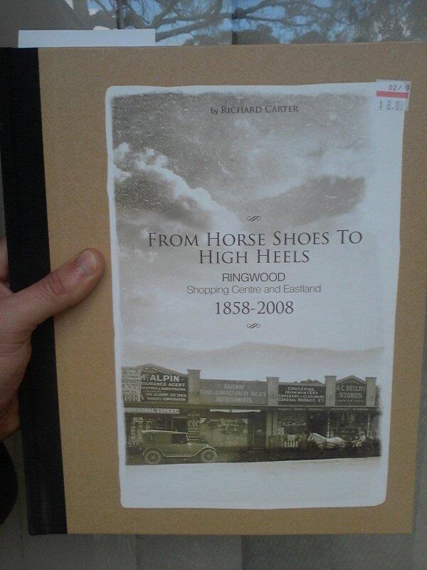
I picked up a few books last week on local towns and history, streets have changed that much its hard to even figure out some of the old maps and drawings! Mum dug up a photo of the clocktower along main st before they moved it to where it sits now at red light intersection in ringwood, even that piece of street is barely recognizable.. I have a plan on doing some 'before / after shots' of time with some of the photos I've got 
- Joined
- Mar 10, 2018
- Messages
- 3
- Reaction score
- 2
Hi guys I live in Ringwood and was testing my new Detecter before I head out and prospect I've Detecters heaps of variable steal and one time a come across a white stone that my Detecter detect it and I was curious so got it and swiped it across the Detecters and kept going off so I got the hammer and slowly tapped it into store pieces and guess what small gold was in it couldn't believe it and kept braking it till there was nothing left of rock got all the gold out 6 pieces come out of it couldn't believe it gold in my back yard also found old screw drivers and 1800s old hoe. I guess gold is everywhere you don't know until you dig it up. I'm happy with my finds and I'll keep going till I hit the jackpot lol.
- Joined
- Apr 4, 2020
- Messages
- 80
- Reaction score
- 72
What a great post. Was pondering about gold in or around Ringwood for a while. I was sure I read some reference to such was found with Antinomy though only as small quantities. Might investigate this a little further some time. :Y:
- Joined
- Apr 4, 2020
- Messages
- 80
- Reaction score
- 72
For those who might be interested. A 1933 newspaper article regarding the finding of gold at Anderson's Creek.
https://www.prospectingaustralia.com/forum/doc/member-docs/17983/1590536859_1933aug19_the_first_goldfield_anderson_s_creek1.pdf
https://www.prospectingaustralia.com/forum/doc/member-docs/17983/1590536859_1933aug19_the_first_goldfield_anderson_s_creek1.pdf
Similar threads
- Replies
- 56
- Views
- 19K
- Replies
- 1
- Views
- 1K
- Replies
- 6
- Views
- 2K


