- Joined
- Jun 10, 2013
- Messages
- 1,341
- Reaction score
- 3,727


Not a lot of help unfortunately.Hi Matt,
Unfortunately, we get this data from a third party, which omits any readable text of what the data actually means.
I've done a bit of digging in regards to your question about the statuses of the lands though, from what I've found out -
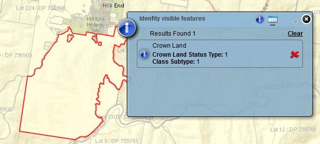
Crown land Status Type
0 - undefined
1 - Crown Lands Controlled
2 - Shared Crown/Council
Sub types
1- Crown Parcel
2 - Null ? (sorry, this is what we were given, I don't know why it is what it is)
3 - Crown Road
I hope this helps with your inquiries.
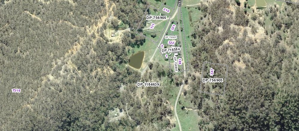
No use opening sixmaps Tath if you've already got it up on ArcGIS. ArcGIS shows the Lot & DP numbers also (if selected) + highlights the crown land areas when selected.Tathradj said:Use six maps,
https://maps.six.nsw.gov.au/
Use the overlays,
obtain the dp number and lot number,
Ring The Lands Department and quote both.
Do this with Six Maps open in front of you.
They will tell you if the land is under lease.
They CANNOT tell you the reason or name due to privacy reasons.
https://www.prospectingaustralia.co...ages/2436/1505801119_hill_end_lot_numbers.jpg
Enter your email address to join: