


After seeing a few posts about GISRoam and getting a few questions from a few people I thought id start a thread 
Firstly iam not an expert but have managed to mostly figure out how to use GISRoam for NSW.
I use GISRoam to help with digital mapping whilst out and about and as a researching tool.
The map types that it uses are: a standard road map with minimal colour/detail, a satellite map similar to google earth or a hybrid of both. All of these you can zoom in and out (to a certain point) and also overlay raster (images like maps) or shapefiles (dots and shapes to represent things).
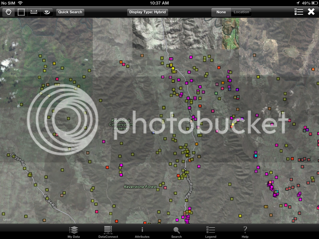
Here is the hybrid map with some shapefiles representing mines.
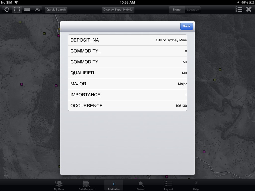
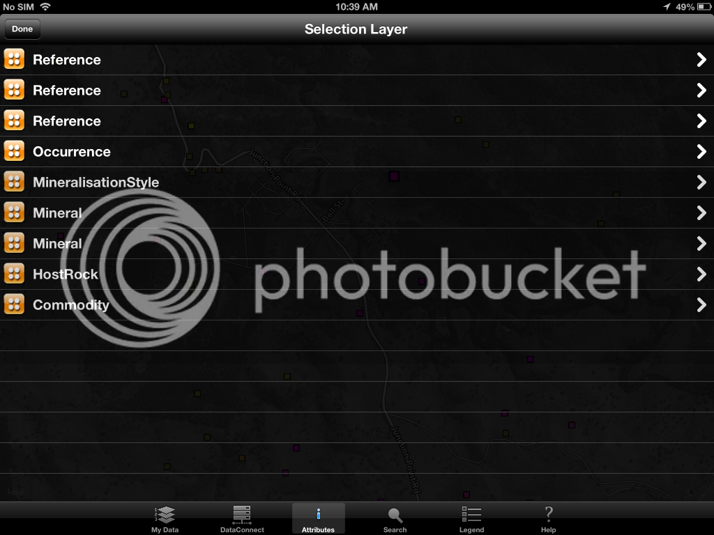
If I select one of the points I can access further information(depending on what is available).

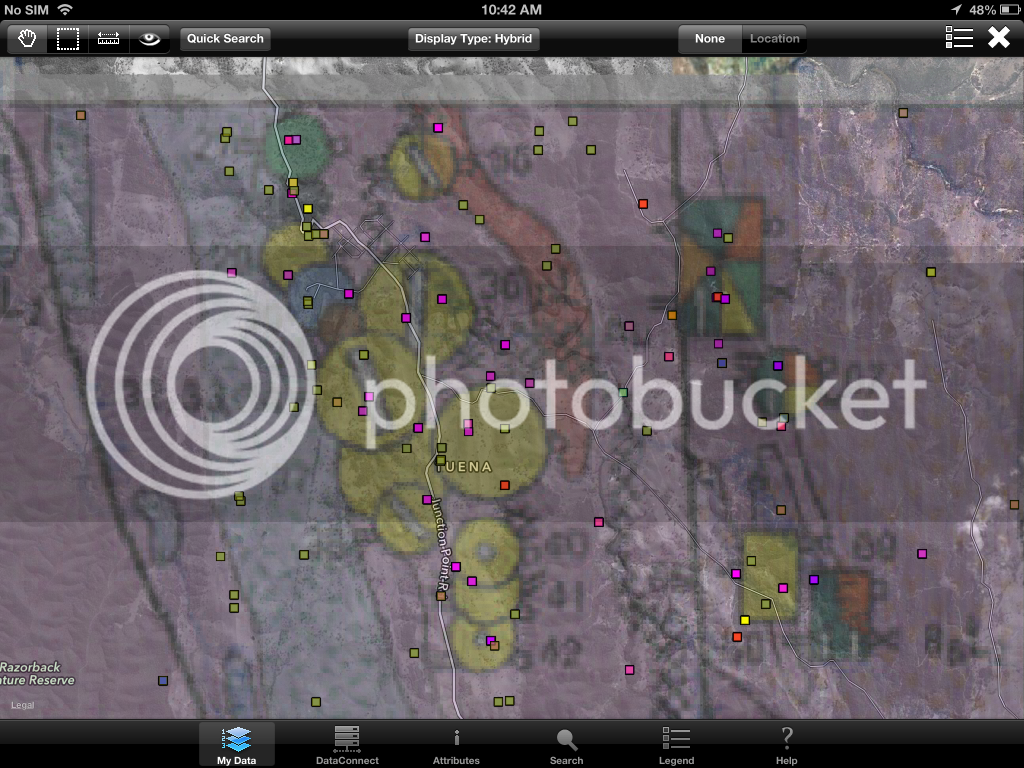
This shows a metallogenic map overlayed as a raster.
Firstly iam not an expert but have managed to mostly figure out how to use GISRoam for NSW.
I use GISRoam to help with digital mapping whilst out and about and as a researching tool.
The map types that it uses are: a standard road map with minimal colour/detail, a satellite map similar to google earth or a hybrid of both. All of these you can zoom in and out (to a certain point) and also overlay raster (images like maps) or shapefiles (dots and shapes to represent things).
Here is the hybrid map with some shapefiles representing mines.

If I select one of the points I can access further information(depending on what is available).


This shows a metallogenic map overlayed as a raster.
