OK.
I went for a drive today and snapped a few piccy's.
This is the area that I learn't to prospect in about 30 years ago.
I will constantly update this thread with more information on what and why and also who did it.
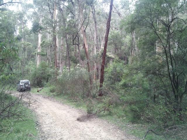
The location is along Dr George Via Bega along Vimy Ridge Fire Trail and is now, You Guessed it. National Parks.
Mimosa Rock's National Park.
I did not go through the whole field as I was by myself and there are a heap of ground level shafts and Barsty Narstard
Death Adder's every where.
Any Way,
Enjoy.
.
This Area has seen a lot of activity leading up to the1st World War. A lot of the activity you can see in these photo's was
laid down back in the 1890's to 1920's.
Mostly alluvial with some Reef mining.
Starting of with a map of the area,
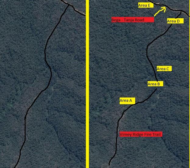
.
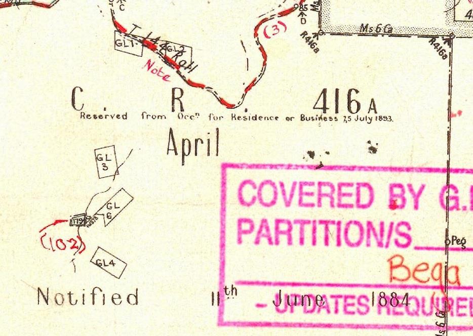
And here is a Parish Map of the area from the LPI Site NSW, With Thanks,
.
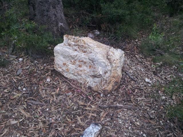
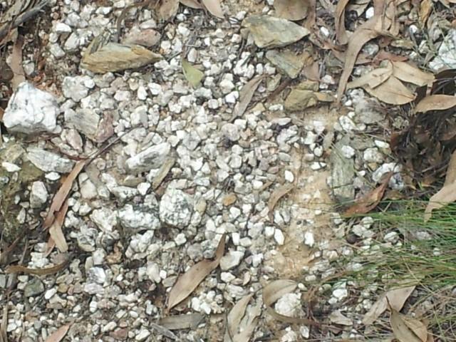
This is from area A. Typical of the reef quartz that the miners were chasing as you will soon see why they went to a bit of trouble
to find the reef that was shedding Gold. They never found it and the whole area has a lot of granular Gold within the layers further down the ridge.
.
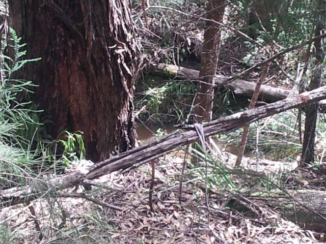
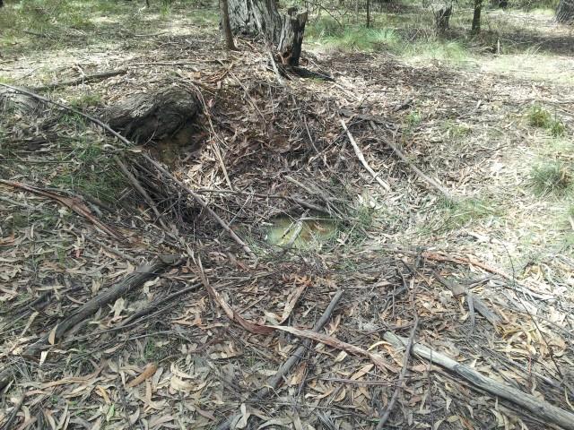
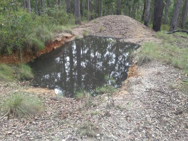
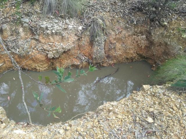
This scrape was put in about mid 1980's. Depth is about 2 meters deep and the water covers two drill prospect holes that are capped and sealed.
They never came back to do any more exploration.
.
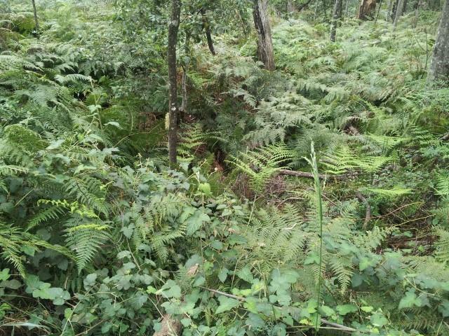
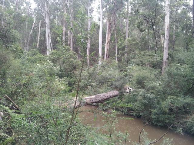
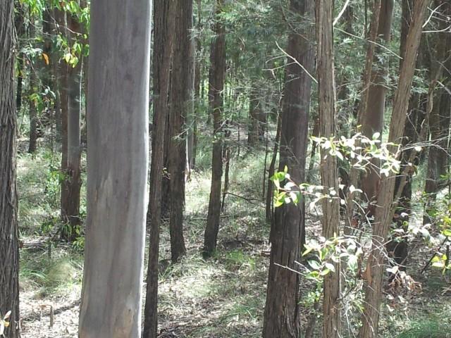
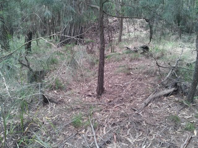
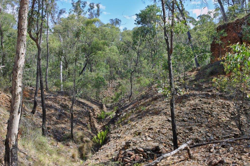
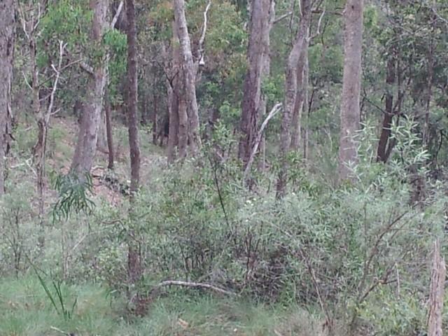
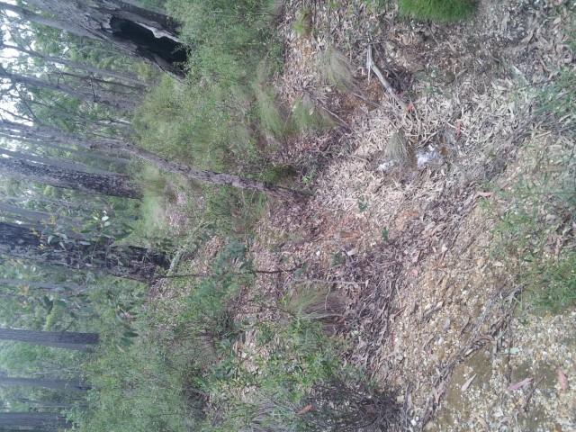
This Gully was totally stripped down to Bed Rock. Here's a clue, Have a close look at the age of the tree's growing in the gully and to the sides.
It has taken just on 100 years for this to grow but you can differentiate different patterns.
Also remember that the whole area was cleared for mine prop's for the Wolumla and other fields further South.
.
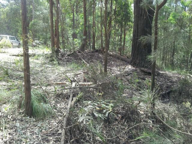
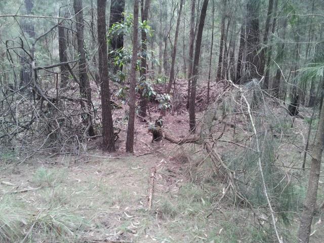
A clean up. This is typical of a few piles you will find while wondering around. The old timers were keeping an eye on what was coming out of the ground.
There are quite a few of these around but keep your eye's peeled carefully. It is dangerouse to just meander around as there are capped shaft's here.
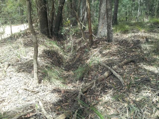
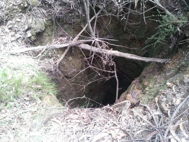
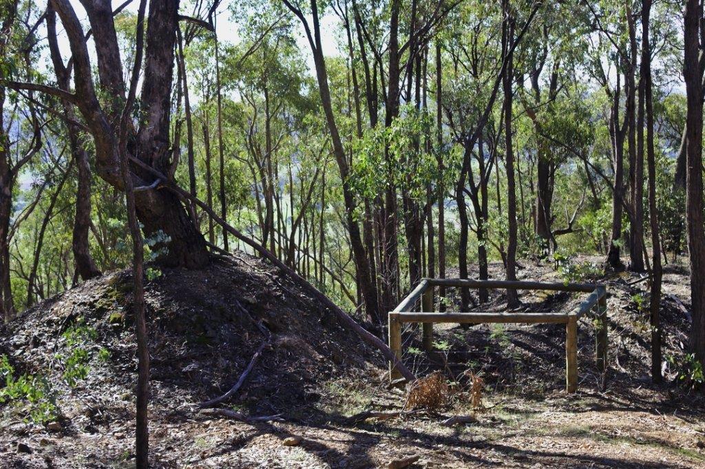
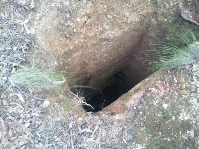
A Shaft. The Old Fella's got a bit excited and put a shaft down. This one is about 30 feet deep and if you look carefully, You can see an off shoot going of to the top side. This one is quite prominent but the sides are of broken friable ground. If you study the ground they are digging through, You will see it is clay or an old river bed. It is now home to a heap of frog's as the poor buggers can not get out. Quite an active little community happening. LOL
.
So what do you do when your shaft is not producing. ? Chase another seam and chose your spot. Could be classified as a costean but discussions abound that they chased a track of color then went straight down.
.
I would say that the trench is the cause of this but I have seen this shaft dry and it is the same depth as the other one. Same friable ground as all of this is located on top of a ridge.
.
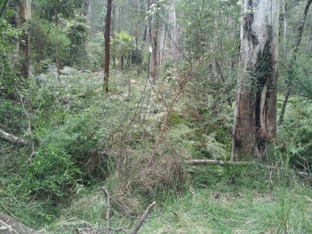
About half way through this one is a line of diggings. These were done by the Germans and Irish miners. This lot is located about 100 meters down the same ridge line and extends right through to area B. This was a wash layer. It is in one of these that I did my upside down trick on the side of a hole after I broke through rotten timbers. They did fairly well out of them but the war put a stop to all mining activities. It is rather strange that no one returned to finish them off.
.
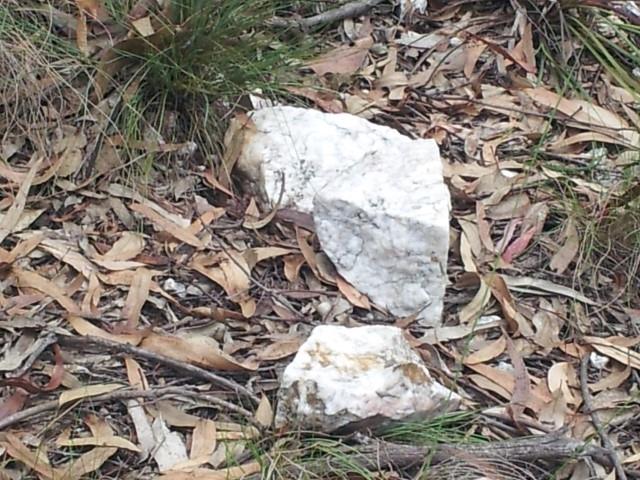
Another example of Reef Quartz. Not as rusty looking as you would expect in a Gold Producing area but, It spurred the Old Timers on.
.
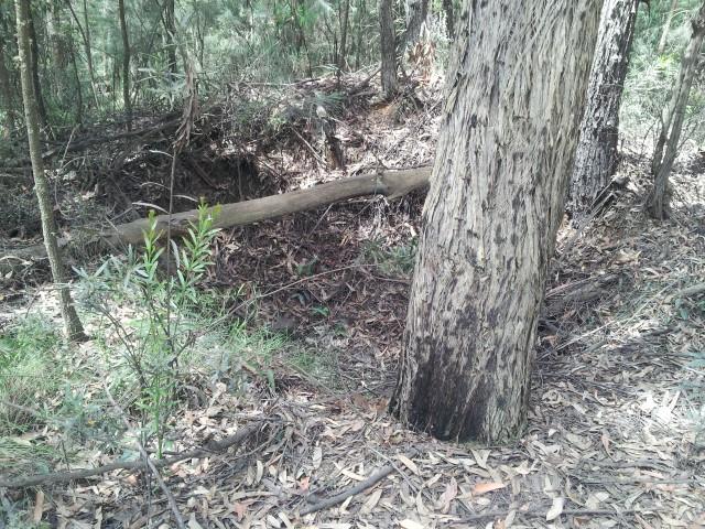
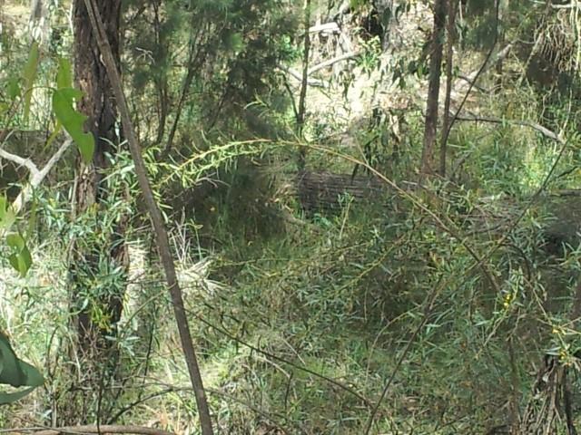
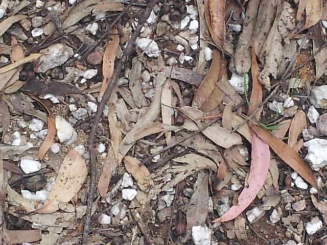
Another cleanup patch. The quartz appears to be barren here but what they were really chasing was an old river bed that flowed accross the whole area dropping the goods as it went. The give away is the soil type that is evident in the sides of the old shaft's. Broken up soil and very friable. If you look closely you can see bands through the sides of them.
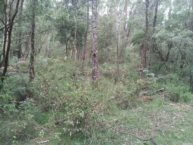
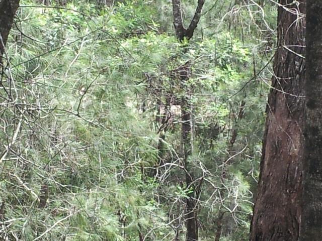
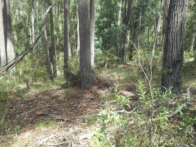
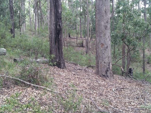
Another area of strip mining. Have a look at the size of the tree's. Dead Givaway that this was stripped to Bedrock as the Tree's are smaller than most of the old growth.
A good spot to detect is under the large Tree's. The Old Fella's use to sit there and Dolly or have Smoko. You always will find artifacts under them. I did.
And they did leave some for shade.
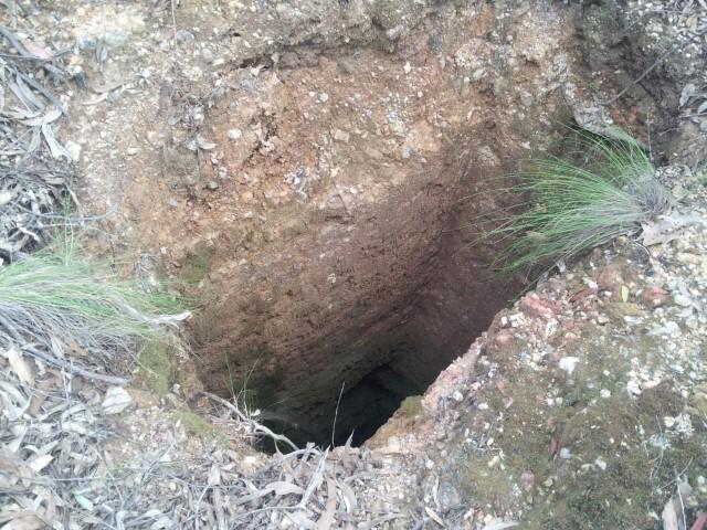
Another clearer shot of the dry shaft. You can see the drive heading off at the bottom of it. I never went down it to see as I was not sure it had a false bottom in it. You drop a rock in it and the drumming noise tells me it is either a false floor or the echo from the lead off drive. It is a wonder that these holes have lasted One Hundred years with out falling in. They were a determined lot them and I take my hat off to them.
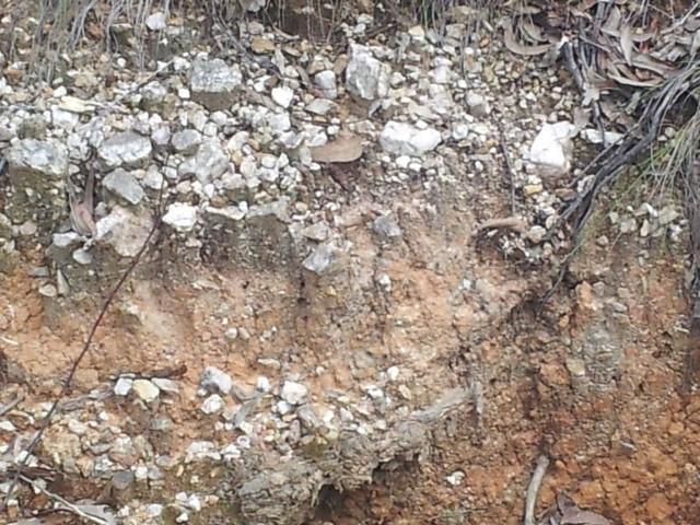
When poking around an old Mine Collar, Have a look what is sitting on top. That is what came out of the bottom of the shaft. I did pan very good color out of this years ago. They only took what they could see and did not have our modern aids like we do today.
I went for a drive today and snapped a few piccy's.
This is the area that I learn't to prospect in about 30 years ago.
I will constantly update this thread with more information on what and why and also who did it.
The location is along Dr George Via Bega along Vimy Ridge Fire Trail and is now, You Guessed it. National Parks.
Mimosa Rock's National Park.
I did not go through the whole field as I was by myself and there are a heap of ground level shafts and Barsty Narstard
Death Adder's every where.
Any Way,
Enjoy.
.
This Area has seen a lot of activity leading up to the1st World War. A lot of the activity you can see in these photo's was
laid down back in the 1890's to 1920's.
Mostly alluvial with some Reef mining.
Starting of with a map of the area,

.
And here is a Parish Map of the area from the LPI Site NSW, With Thanks,

.
This is from area A. Typical of the reef quartz that the miners were chasing as you will soon see why they went to a bit of trouble
to find the reef that was shedding Gold. They never found it and the whole area has a lot of granular Gold within the layers further down the ridge.

.
This scrape was put in about mid 1980's. Depth is about 2 meters deep and the water covers two drill prospect holes that are capped and sealed.
They never came back to do any more exploration.

.
This Gully was totally stripped down to Bed Rock. Here's a clue, Have a close look at the age of the tree's growing in the gully and to the sides.
It has taken just on 100 years for this to grow but you can differentiate different patterns.
Also remember that the whole area was cleared for mine prop's for the Wolumla and other fields further South.

.
A clean up. This is typical of a few piles you will find while wondering around. The old timers were keeping an eye on what was coming out of the ground.
There are quite a few of these around but keep your eye's peeled carefully. It is dangerouse to just meander around as there are capped shaft's here.

A Shaft. The Old Fella's got a bit excited and put a shaft down. This one is about 30 feet deep and if you look carefully, You can see an off shoot going of to the top side. This one is quite prominent but the sides are of broken friable ground. If you study the ground they are digging through, You will see it is clay or an old river bed. It is now home to a heap of frog's as the poor buggers can not get out. Quite an active little community happening. LOL

.
So what do you do when your shaft is not producing. ? Chase another seam and chose your spot. Could be classified as a costean but discussions abound that they chased a track of color then went straight down.

.
I would say that the trench is the cause of this but I have seen this shaft dry and it is the same depth as the other one. Same friable ground as all of this is located on top of a ridge.

.
About half way through this one is a line of diggings. These were done by the Germans and Irish miners. This lot is located about 100 meters down the same ridge line and extends right through to area B. This was a wash layer. It is in one of these that I did my upside down trick on the side of a hole after I broke through rotten timbers. They did fairly well out of them but the war put a stop to all mining activities. It is rather strange that no one returned to finish them off.

.
Another example of Reef Quartz. Not as rusty looking as you would expect in a Gold Producing area but, It spurred the Old Timers on.

.
Another cleanup patch. The quartz appears to be barren here but what they were really chasing was an old river bed that flowed accross the whole area dropping the goods as it went. The give away is the soil type that is evident in the sides of the old shaft's. Broken up soil and very friable. If you look closely you can see bands through the sides of them.

Another area of strip mining. Have a look at the size of the tree's. Dead Givaway that this was stripped to Bedrock as the Tree's are smaller than most of the old growth.
A good spot to detect is under the large Tree's. The Old Fella's use to sit there and Dolly or have Smoko. You always will find artifacts under them. I did.
And they did leave some for shade.

Another clearer shot of the dry shaft. You can see the drive heading off at the bottom of it. I never went down it to see as I was not sure it had a false bottom in it. You drop a rock in it and the drumming noise tells me it is either a false floor or the echo from the lead off drive. It is a wonder that these holes have lasted One Hundred years with out falling in. They were a determined lot them and I take my hat off to them.

When poking around an old Mine Collar, Have a look what is sitting on top. That is what came out of the bottom of the shaft. I did pan very good color out of this years ago. They only took what they could see and did not have our modern aids like we do today.


