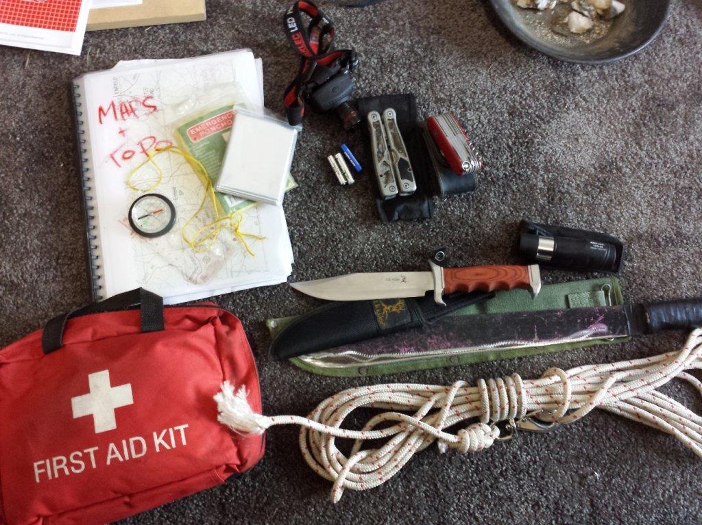
Wolfau said:I use a GPS, correct compass setup with the arrow pointing to my car and 400 metres of quality rope
which follows me when heading out. I carry a camel back full of water, matches and some tin tuna.
You can't just rely on a GPS
Hi wolf, do you carry 400m of rope? How thick is it?
I have walked/canyoned some remote places in the Wollemi NP and recently Upper William's river Barrington Tops NP.
Research before hand is key, google maps is the best resource on the internet. Google earth is great, it really gives you a fly over view of landscape.
Bureau of Meteorology for river heights and recent rainfall information.
Fires near me app. For detailed bushfire info.
Before you go to a remote place, you need to get in your head the consequences of likely injuries you could sustain- most common would be a rolled ankle. Just last year i was down the bottom of Somersby falls with my gf when she went bum up and badly rolled her ankle. I piggy backed her out of there. It is surprising how useless you are with a 'soft' injury like this.
Other things that can get you in trouble are steep gradients, loose ground, dangerous wildlife, dehydration and sun stroke.
I have used bright orange releasable cable ties on tree branches before, faster than pink ribbons and re-usable.
When you realise how a small injury could disable you on the spot, you learn to take more care and every footstep becomes important.
Study the area, take a gps or if you are alone an epirb.
Being remote gives me an awesome buzz which cant be replicated any other way.
Im off on a 2 night walk this weekend, can't wait.
Reeko


