WestAus said:"...Blue or Pending" tenements. This is open for anyone to visit, if on Crown land with no native titles,...
Regards using a Miners Right and not applying for a 40e; GeoVIEW displays 4 types of Native Title ('Claims', 'Determined Areas', 'Federal Court', 'Land Use Agreement Areas'). But also under Special Category Lands there is 'Aboriginal Heritage Site' amongst other things. Do you know if any one of these prohibit detecting, or is it just the 'Determined Areas'?
If all four prohibit detecting with just a Miners Right then there's not so much space(?) ...
Native Title Determined Areas : Cover all areas around Peak Hill and north, Wiluna and north and east thereof.
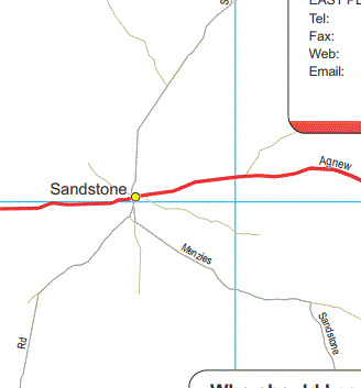
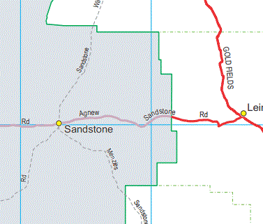
Native Title Claims : Cover all areas just south of Peak Hill through Meekatharra, Cue, Mt Magnet and Paynes Find. All areas south of Sandstone, And all around Leinster as well as many north thereof.
Native Title (Federal Court): A number of areas mostly (a#)'Lodged/Filed' or (#b)'Unregistered'.
a# Covers all areas Coolgardie, Kalgoorlie, BroadArrow to below Menzies.
b# Covers all areas from MtMagnet to Paynes Find and some areas NE of Laverton
Indigenous Land Use Agreement Area : Cover much ot the areas east of Cue, Meekatharra. Whole of Warburton
... with no native titles, or land holder ...
Have you been able to derive a broad view "land holders" from GeoVIEW or have you had to check through TenGraph (more or less on a tenement by tenement basis)?


