- Joined
- Apr 13, 2014
- Messages
- 12
- Reaction score
- 41
Hey all,
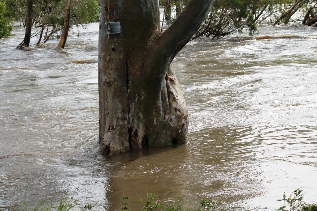
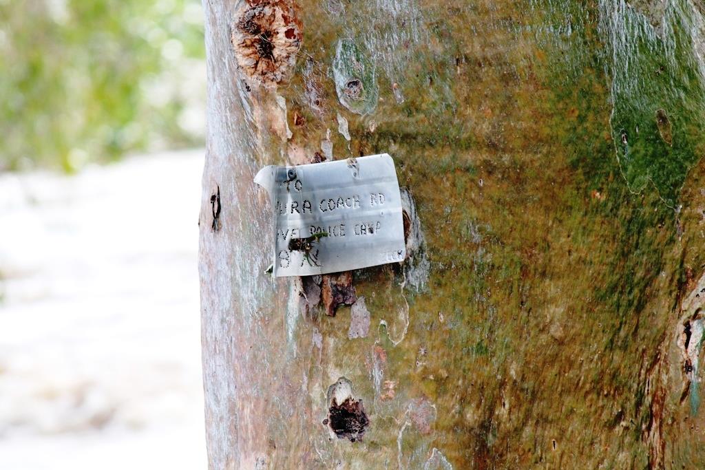
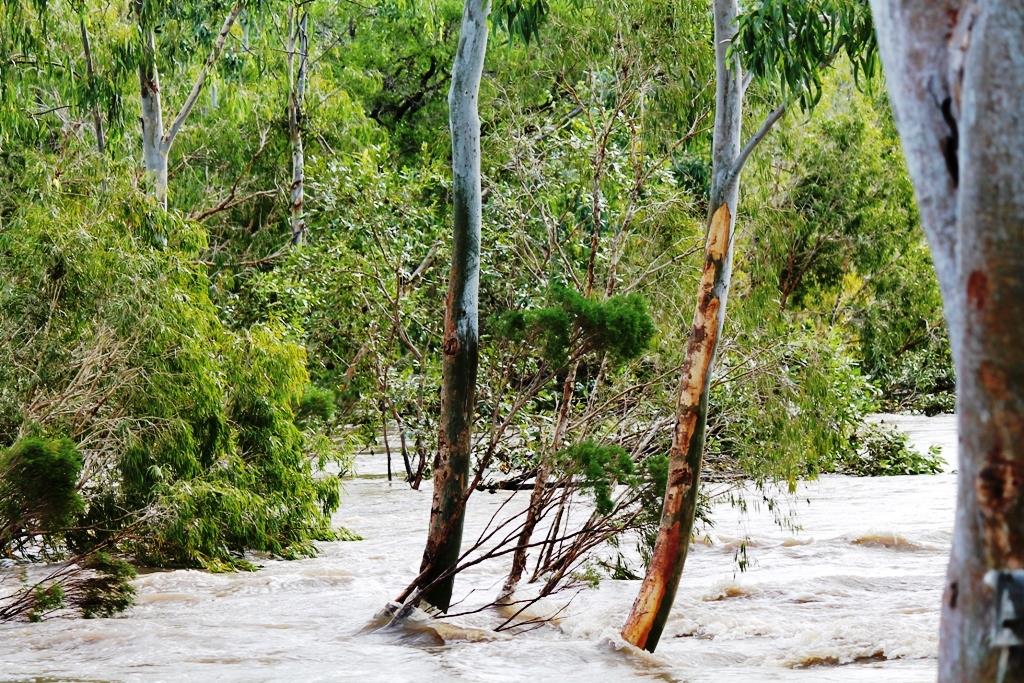
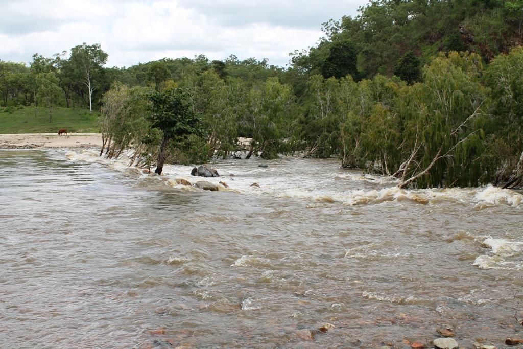
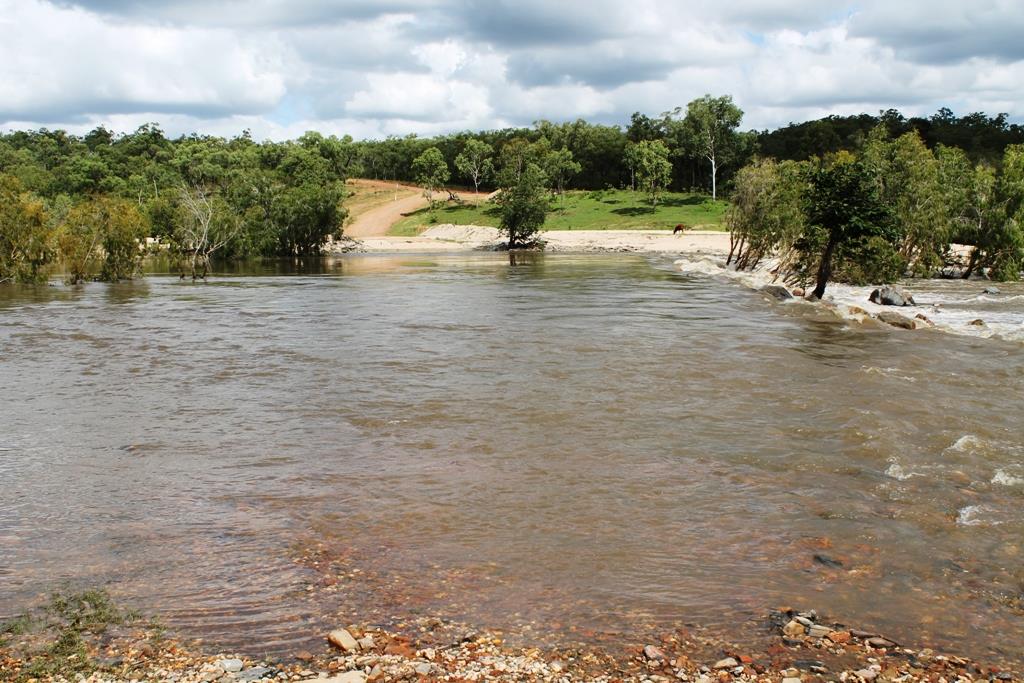
I live up the Palmer 10klm north of dogleg crossing, on butchers creek, wife and I went down to the river today to hopefully see the 6 metre swell come down from the highway crossing, missed it by a few hours but the water rose to the highest in many years, magnificent to see up close. I found a plaque on a tree at the bottom of Maytown , it is bent from the water flow, which was a metre above. If anyone is coming for Easter the river should be crossable by then , PM me if you need a report.
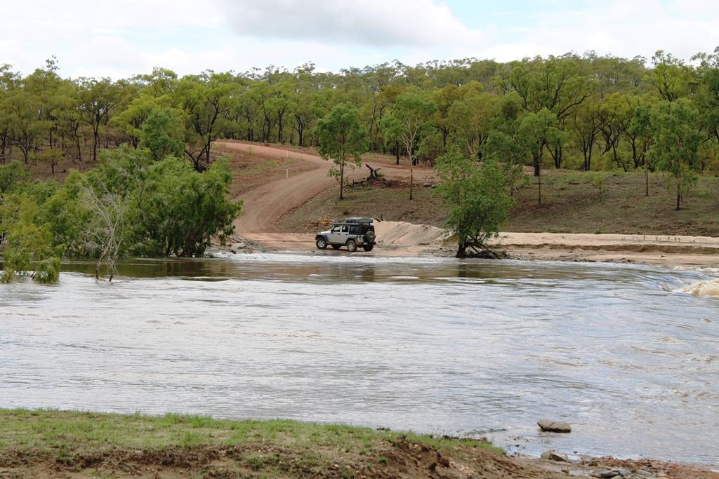
Pic 1. To put it all in perspective , in this pic the water is 1.5M
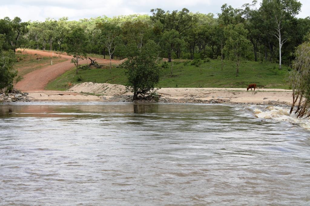 deep ( halfway up the windscreen on the jeep ) by the way it did not cross.
Pic 2, 3, & 4.
About 1 month ago, 1.2M deep, current too fast to cross, I waited another day before crossing at 1M
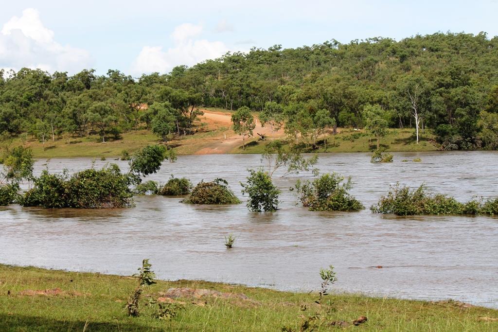
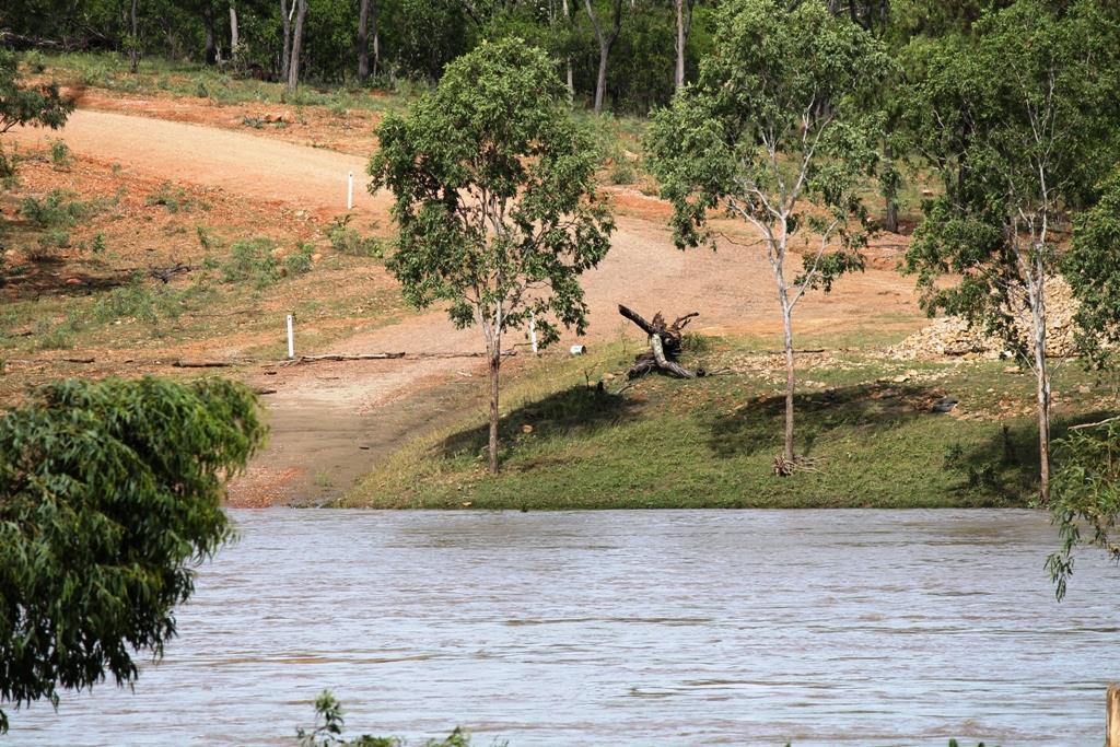
Pic 4 & 5
Today at 2.30pm about 4.5M deep , you can see the debri at the guide posts a few hours earlier it was at 6.5
 M
M
I live up the Palmer 10klm north of dogleg crossing, on butchers creek, wife and I went down to the river today to hopefully see the 6 metre swell come down from the highway crossing, missed it by a few hours but the water rose to the highest in many years, magnificent to see up close. I found a plaque on a tree at the bottom of Maytown , it is bent from the water flow, which was a metre above. If anyone is coming for Easter the river should be crossable by then , PM me if you need a report.
Pic 1. To put it all in perspective , in this pic the water is 1.5M


Pic 2, 3, & 4.
About 1 month ago, 1.2M deep, current too fast to cross, I waited another day before crossing at 1M


Pic 4 & 5
Today at 2.30pm about 4.5M deep , you can see the debri at the guide posts a few hours earlier it was at 6.5


