You are using an out of date browser. It may not display this or other websites correctly.
You should upgrade or use an alternative browser.
You should upgrade or use an alternative browser.
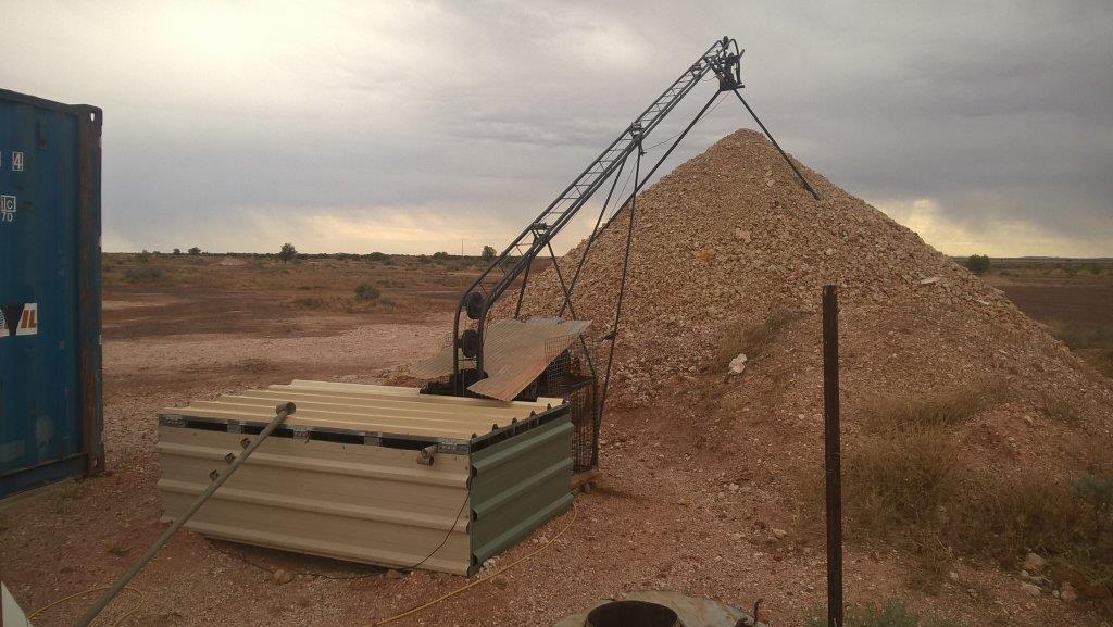
opal mining white cliffs nsw
- Thread starter 20x
- Start date

Help Support Prospecting Australia:
This site may earn a commission from merchant affiliate
links, including eBay, Amazon, and others.
That is really cool stuff :Y:
Thank you so much for posting.
Thank you so much for posting.
that is awesome mate! :Y:
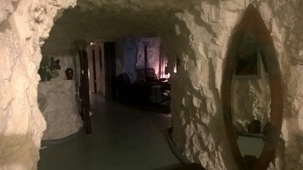
silver said:Dream home mate, did ya Dad build it for you ?
:Y::Y:

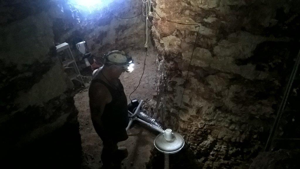
na, there is about 130 of these dug out homes built in this area. I haven't been to it yet but there is a whole hotel built like this. regardless of above
ground temp it remains a constant 21 degrees. it has built in vent system that when switched on blows through small holes in the power poles.
wiring is actually in the kerb concrete edging. such a unique place and living experience.
- Joined
- Dec 16, 2013
- Messages
- 901
- Reaction score
- 1,435
Great pictures, thanks for sharing! 
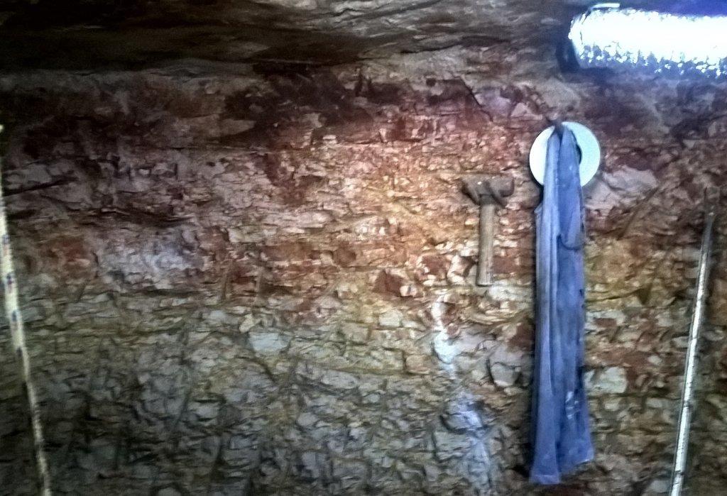
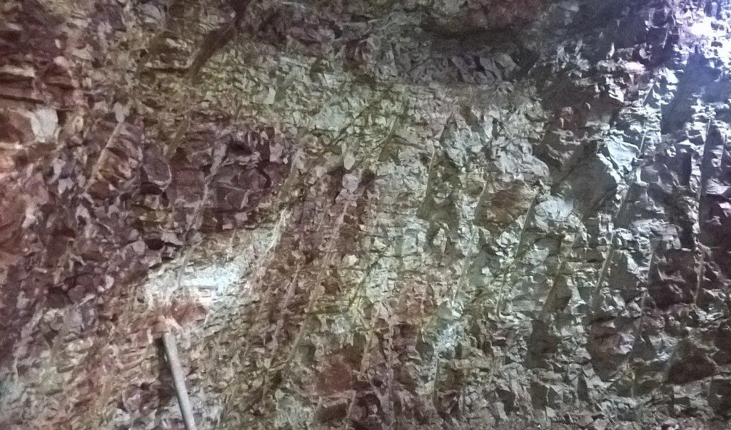
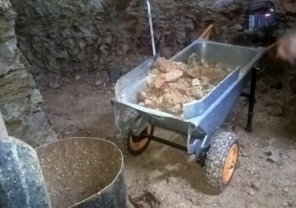
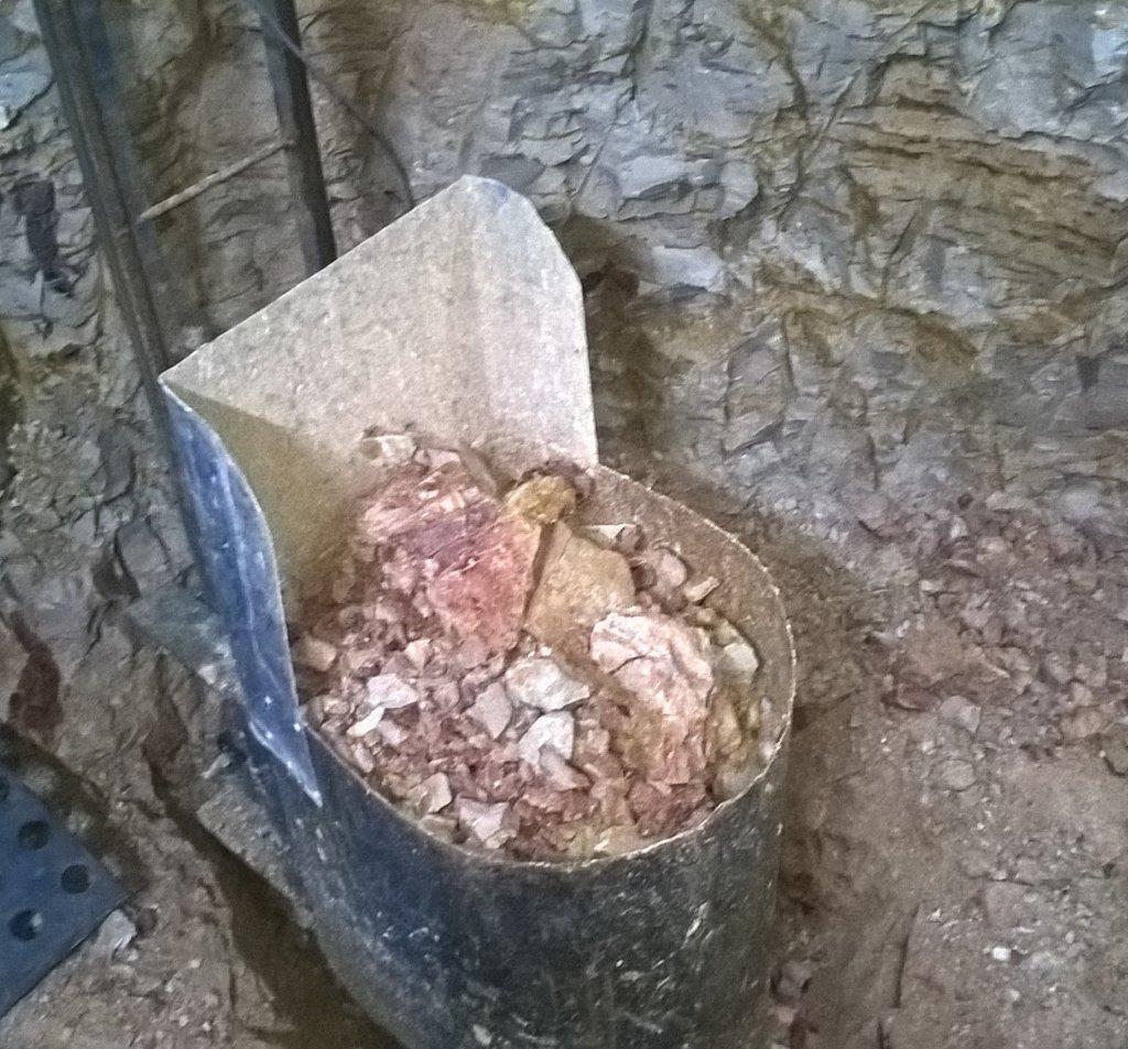
something interesting, this layer has weathered wash, quartz rocks and loose crystals. tried reading up to explain it and all I can find is paleochannel and this would be an
anchient flood overflow deposit...anyone???? I only want to know because what I have read opal is NOT found in this layer.
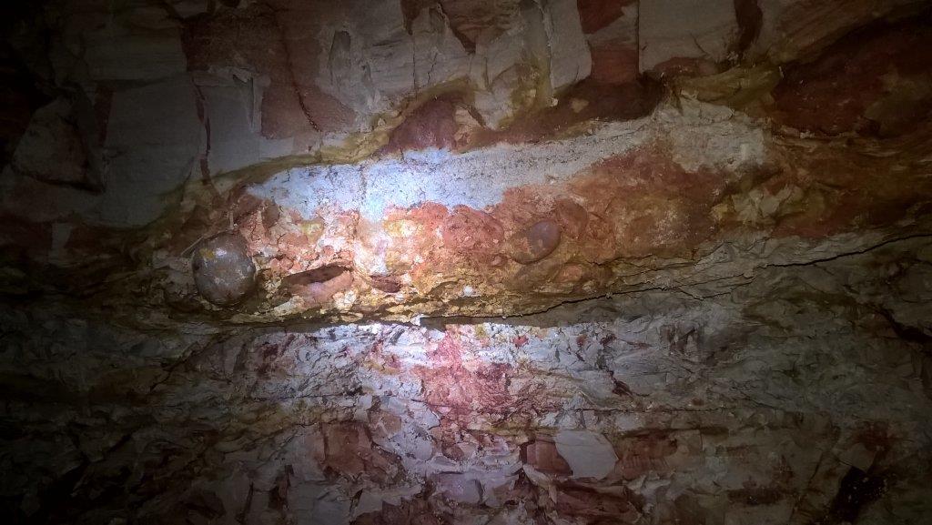
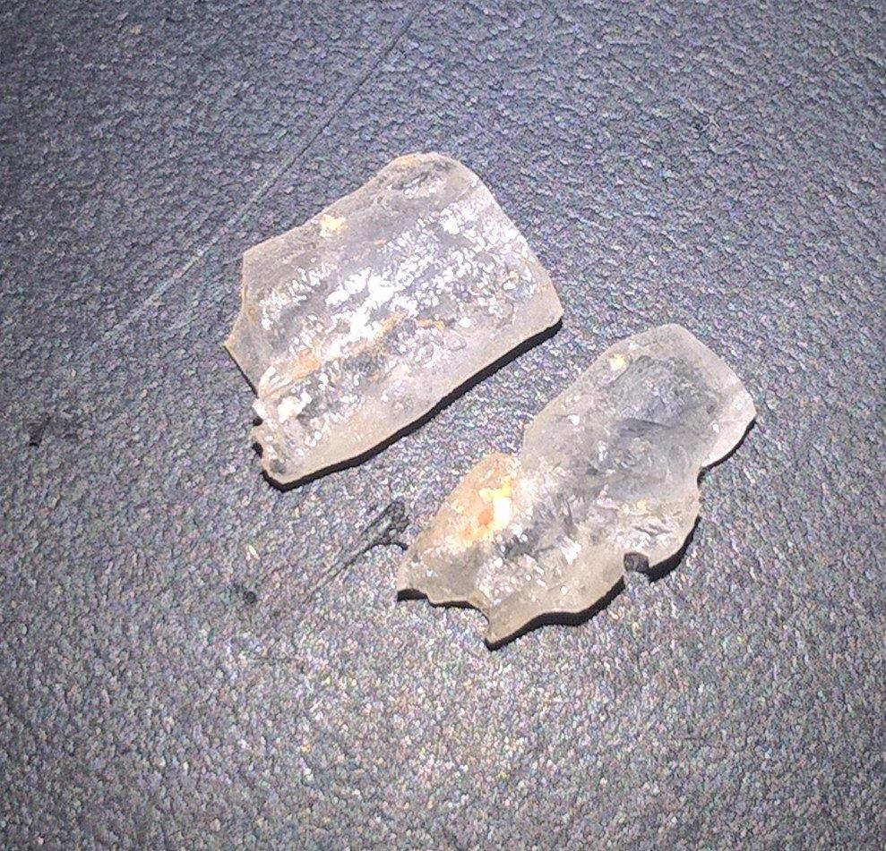
anchient flood overflow deposit...anyone???? I only want to know because what I have read opal is NOT found in this layer.


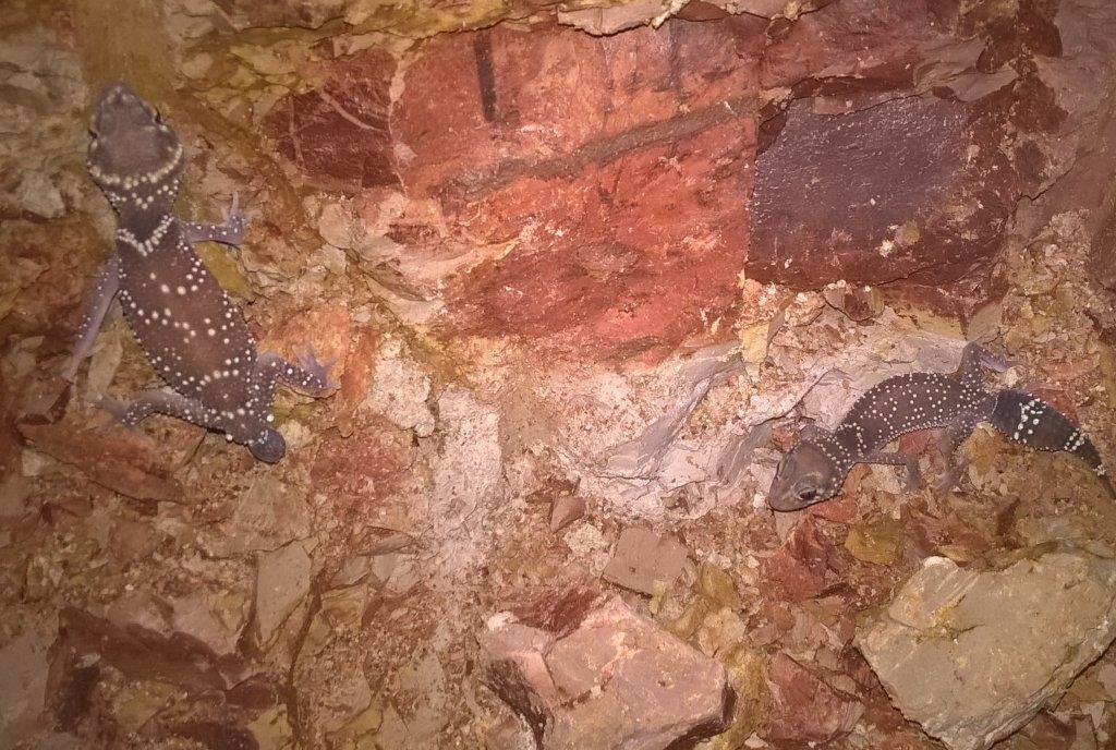
Love those two geckos!
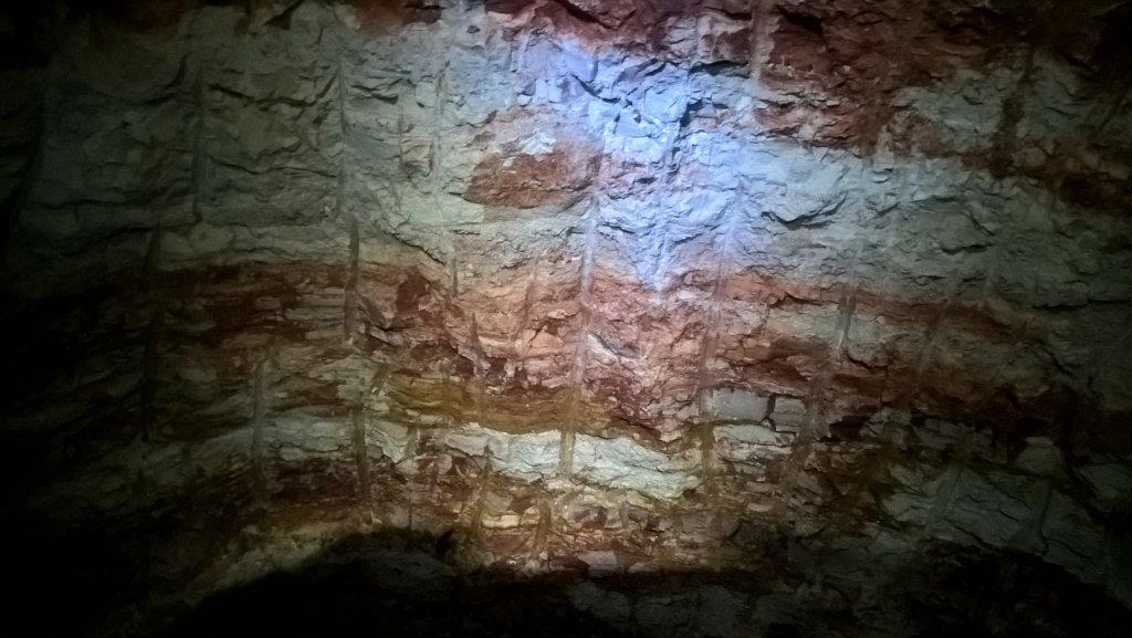
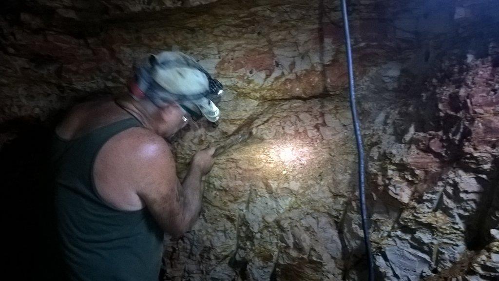
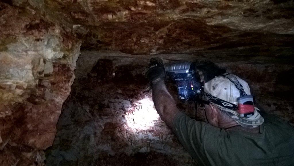
in this photo I'm interested in the thin faults I think are called slides and from what I have read is whats needed for the formation and deposit of opal. if this is what they are
then I need a hard bottom at the bottom of the slides for it to concerntrate. time will tell lol...I love learning
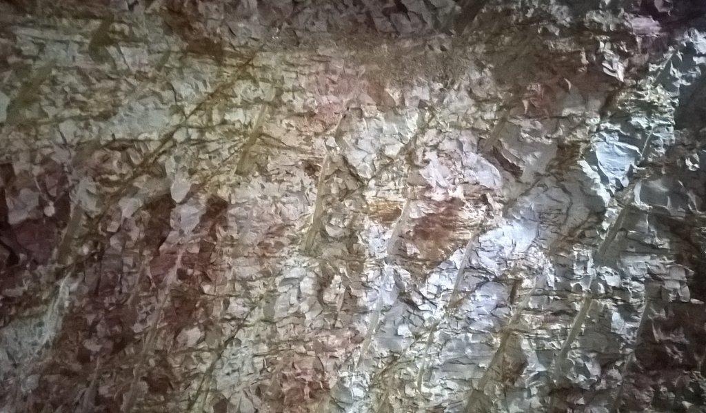
then I need a hard bottom at the bottom of the slides for it to concerntrate. time will tell lol...I love learning

Noice pics gents
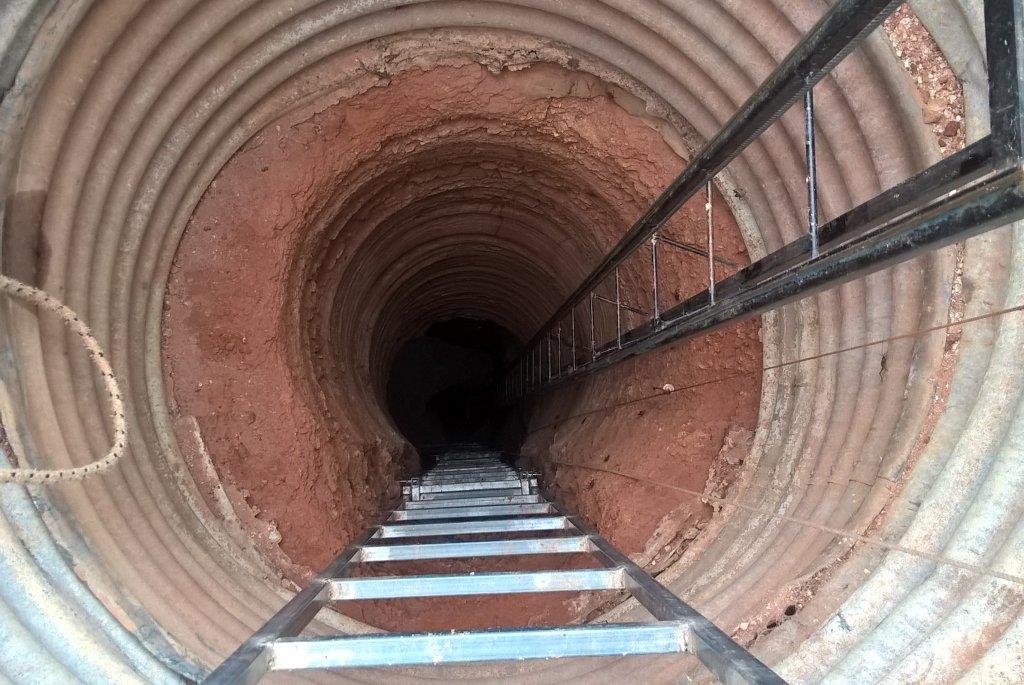
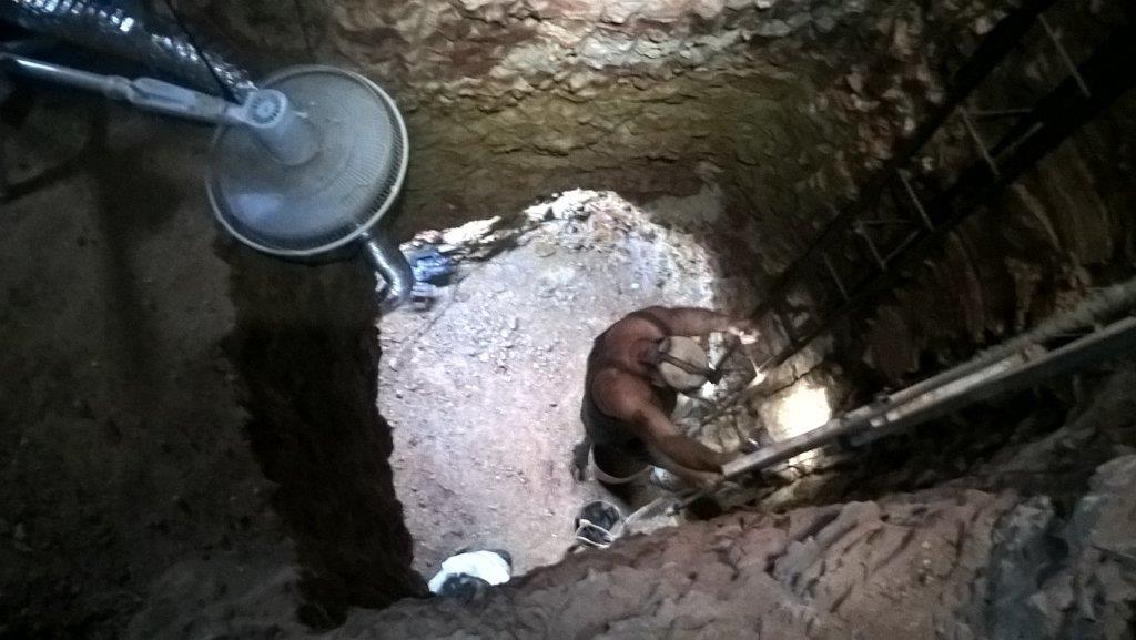
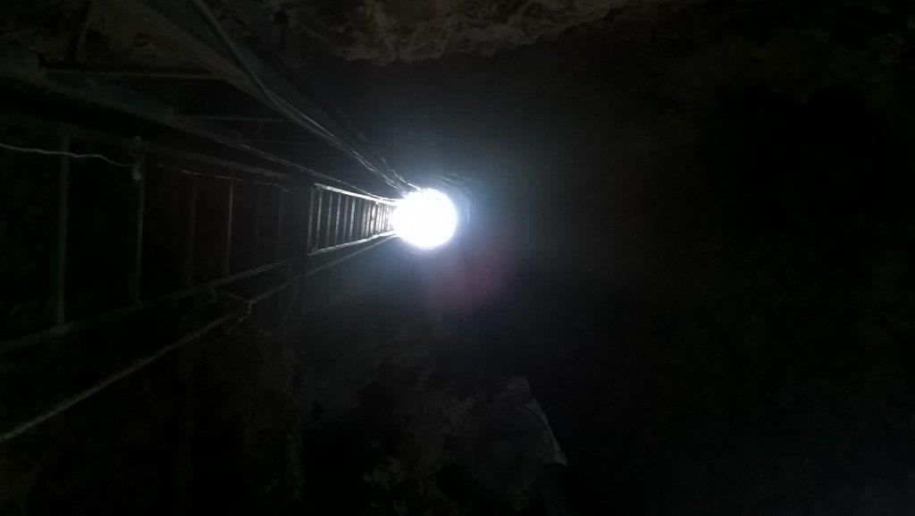
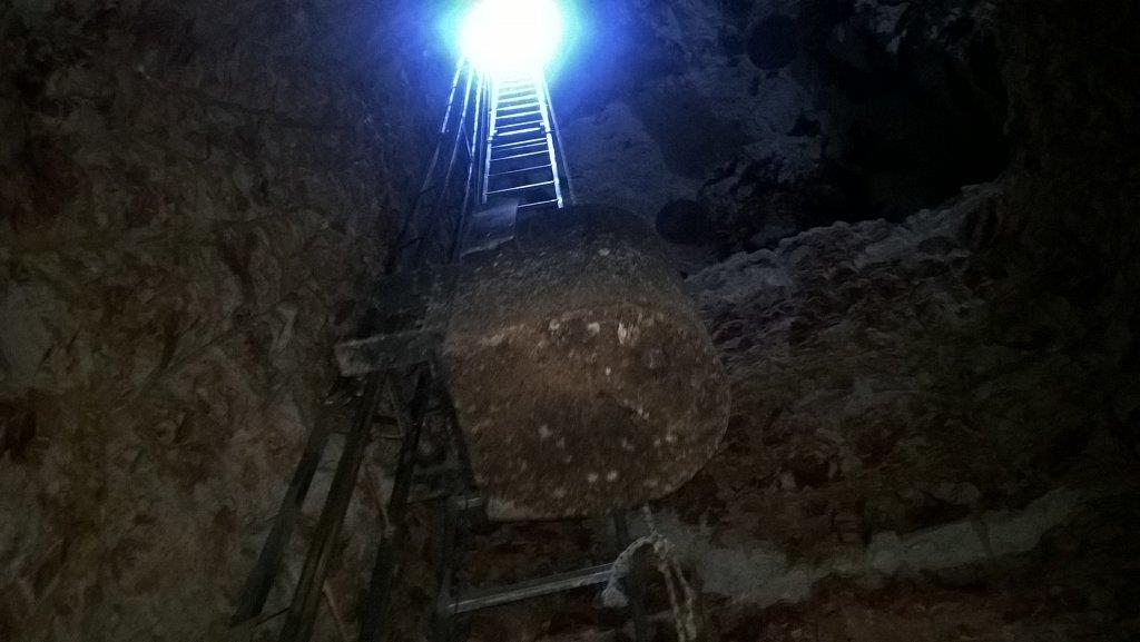
there is actually about 5 of them that reside in the mine, they obviously feed on the crickets you can see in the photo of the surface looking down. we pick them up and hide them behind a piece of sponge at the bottom of the ladder when working.grubstake said:Love those two geckos!
From my understanding a paleochannel is an old waterway like a river or creek that has been buried, which would be why you are seeing water worn rocks.
Is that layer far from where opal has been found?
Is that layer far from where opal has been found?
cant exactly answer that question mate, its found at various depths but what I have read there seems to be a zone between 138-142m's above current sea level(realevant to lightning ridge but it says all other fields to).shivan said:From my understanding a paleochannel is an old waterway like a river or creek that has been buried, which would be why you are seeing water worn rocks.
Is that layer far from where opal has been found?
I haven't looked yet but I'm guessing there is an RL control peg somewhere on the field to take a shot. I will be going down other mines soon that are producing so
I can look at the scenario's of deposits.
Cheers for that, i find it all very interesting.
It sounds like you have some fun times ahead, i hope your recovering ok.
It sounds like you have some fun times ahead, i hope your recovering ok.
Syndyne
Shaun Galman
Great shots 20x!
Nice to see and read about the other important opal producing areas of Aus.
Our old mining partner initially headed up from Melbourne to do a bit of mining at White Cliffs back in the early 70's. He got stuck here at the Ridge during the 74 floods after coming across for a visit and never left. I guess this is the case for many that just come 'for a visit' to these opal towns. ]
In regards to the gravels in the level, we also have areas of waterworn gravel washes permeating the opal levels here and there. I've seen these in dense form throughout the white or red silica blows (ancient geothermal vents known as Breccia Pipes) starting in the deeper levels with some going right up to the surface. Fairly evident when you see this caught on the side of a drill shaft. This gives me the idea that the rock permeation was from the surface downwards over here at the Ridge as we have large layers of that Quartz/gravel wash around the opal fields at the surface. This most likely fell in and traveled down while the blows (and parts of the levels) were still an active liquid and possibly quite viscous/muddy. I've seen and dug some nice opal mixed up in these rocky blows over the years, -particularly more common in the shallow, harder levels.
My father had found an exceptional stone in the late 70's that was split perfectly in two and located in a white silicate blow. One half located up near the sandstone roof and the other half down about two feet lower underneath the opal carrying band. Seeing something like that would generally indicate that the opal formed just before the geothermal venting started in the solidifying sedimentary muds and clays.
Great to see some commonalities between opal areas. I guess it's a fairly consistent mixture across many fields. Slides, blows, faults, settled levels etc. that are required for opal formation. It's only the actual form the opal comes in that really differs to an extent.
I'd love to get across there for a visit one day. Hope you guys are doing well!
Stay safe and keep up the great posts.
All the best,
Shauno
awesome mate and thanks heaps for that info, today we only drove another meter before all was answered. next post...Syndyne said:Great shots 20x!
Nice to see and read about the other important opal producing areas of Aus.
Our old mining partner initially headed up from Melbourne to do a bit of mining at White Cliffs back in the early 70's. He got stuck here at the Ridge during the 74 floods after coming across for a visit and never left. I guess this is the case for many that just come 'for a visit' to these opal towns. ]
In regards to the gravels in the level, we also have areas of waterworn gravel washes permeating the opal levels here and there. I've seen these in dense form throughout the white or red silica blows (ancient geothermal vents known as Breccia Pipes) starting in the deeper levels with some going right up to the surface. Fairly evident when you see this caught on the side of a drill shaft. This gives me the idea that the rock permeation was from the surface downwards over here at the Ridge as we have large layers of that Quartz/gravel wash around the opal fields at the surface. This most likely fell in and traveled down while the blows (and parts of the levels) were still an active liquid and possibly quite viscous/muddy. I've seen and dug some nice opal mixed up in these rocky blows over the years, -particularly more common in the shallow, harder levels.
My father had found an exceptional stone in the late 70's that was split perfectly in two and located in a white silicate blow. One half located up near the sandstone roof and the other half down about two feet lower underneath the opal carrying band. Seeing something like that would generally indicate that the opal formed just before the geothermal venting started in the solidifying sedimentary muds and clays.
Great to see some commonalities between opal areas. I guess it's a fairly consistent mixture across many fields. Slides, blows, faults, settled levels etc. that are required for opal formation. It's only the actual form the opal comes in that really differs to an extent.
I'd love to get across there for a visit one day. Hope you guys are doing well!
Stay safe and keep up the great posts.
All the best,
Shauno


