- Joined
- Jan 27, 2015
- Messages
- 7,758
- Reaction score
- 12,865
The archived maps are good for printing out specific areas but they are no longer maintained/updated by the NSW Forestry Corporation so there is potential for people to put themselves in an area they shouldn't be.Gimp said:This post from the Duck needs sticking at top of page.
https://web.archive.org/web/2016030...ation.com.au/visit/activities/fossicking#maps
If you are using the archived maps always cross check them here:
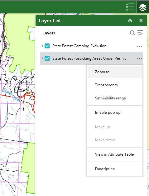
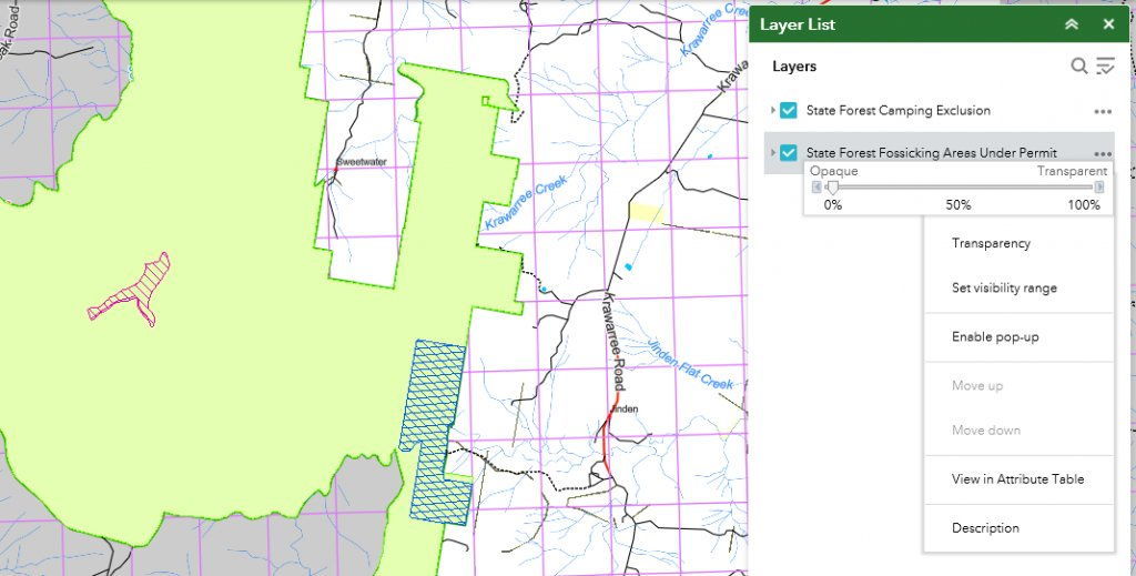
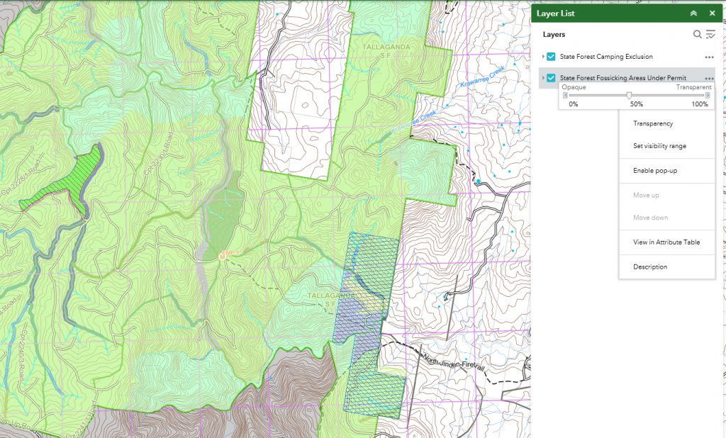
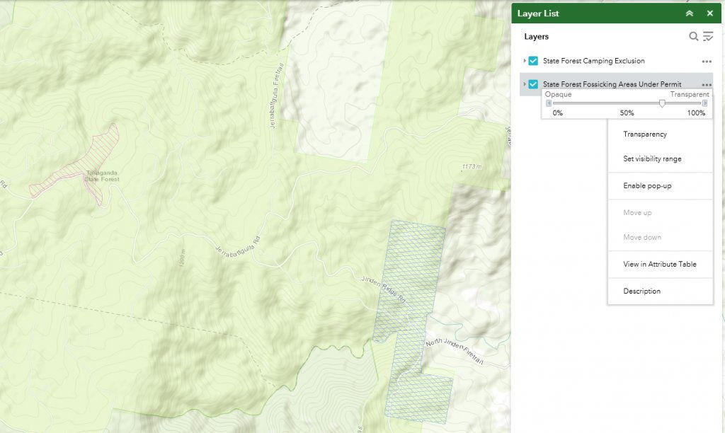
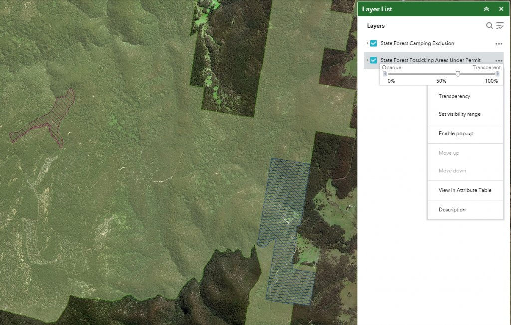
https://fcnsw.maps.arcgis.com/apps/webappviewer/index.html?id=db08e563e1b6403fabde1ce901389fa2
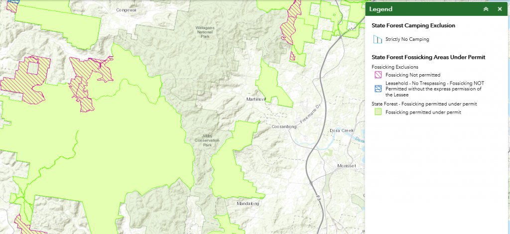
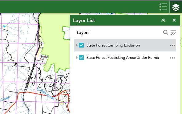
The online arcGis map is the only NSW Forestry Corporation map now kept updated with:- current NSW State Forests, areas where fossicking is permitted under permit & fossicking exclusions (areas where fossicking is not permitted at all & NSW State Forest leasehold areas where permission of the leaseholder is required).


