Hi,
I've just created a brand new website called FossickingPlaces.com that shows old mine working, townsites, dumps etc.
The website is entirely WA focused at the moment (coz I live in WA), but I hope to soon add data for other states as soon as I can get my hands on some decent data.
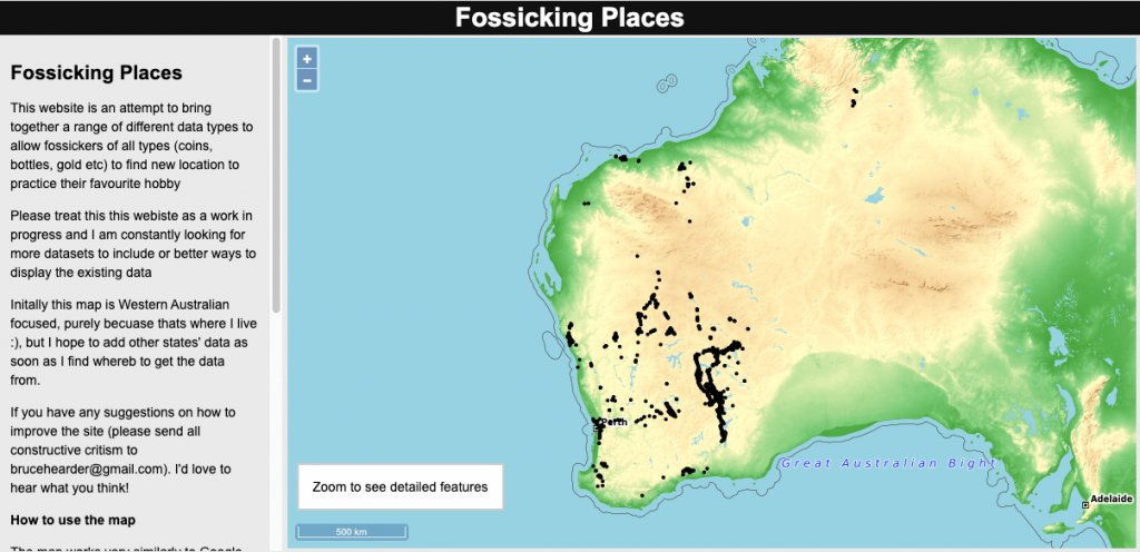
The website starts by showing all features as black dots

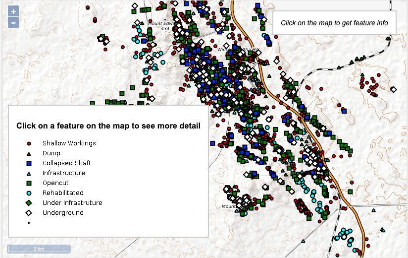
Once you start zooming in, the black dots change to symbols reflecting the different data types.
This images is of the Widgiemooltha area.

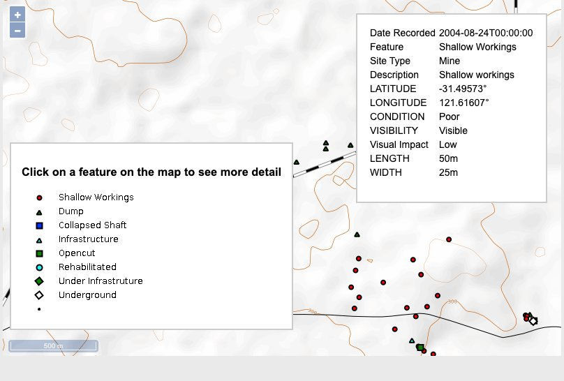
You can click on a feature to get more details

Pretty soon I'll be putting the current and pending mining leases onto the map as well.
I'd love to hear what you think and if this is of any value.
Happy prospecting
Bruce
I've just created a brand new website called FossickingPlaces.com that shows old mine working, townsites, dumps etc.
The website is entirely WA focused at the moment (coz I live in WA), but I hope to soon add data for other states as soon as I can get my hands on some decent data.
The website starts by showing all features as black dots

Once you start zooming in, the black dots change to symbols reflecting the different data types.
This images is of the Widgiemooltha area.

You can click on a feature to get more details

Pretty soon I'll be putting the current and pending mining leases onto the map as well.
I'd love to hear what you think and if this is of any value.
Happy prospecting
Bruce


