- Joined
- Jan 13, 2018
- Messages
- 155
- Reaction score
- 356
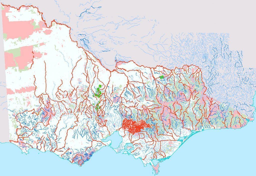
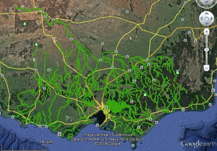
Im seeking feedback on an idea. Im thinking about making a set of maps that cover the whole of Victoria, which clearly identify:
* exempted rivers and streams (no prospecting)
* National Park and State Park areas (no prospecting)
* other areas e.g. gazetted water catchments where prospecting is explicitly prohibited
* private property (permission required)
* areas within parks that explicitly allow prospecting
* alluvial gold producing areas (historic and recent)
* known mine and reef locations
I started working on a couple of maps for my own use, covering the East and West of Gippsland. In the process, I ended up with near-complete statewide spatial layers for the first two items on the list, and thought why not use them?
So my idea is to produce a series of moderately detailed maps that can be used with the GPS functionality in Avenza Maps to guide where to prospect and where to avoid. Not detailed enough for navigation or bushwalking though. These would be made freely available of course.
Let me know what you think. If theres interest, Ill be asking for volunteers who can assist with research and with beta testing. For example there is a Spring Creek on the exempted list. There are literally dozens of Spring Creeks in the state. The only way to find out which Spring Creek they mean is by referring back to old government gazettes (or some other way, which is where the help comes in). Conversely, the Jordan River above the Thomson dam does not appear on the list, but its physically signposted as a no go area and gazetted with a recommendation to exclude.
Theres a bit of work involved. Not too much though. Im happy to cover the Gippsland end, and to digitise the prospecting areas in the parks.
Good idea or no?


