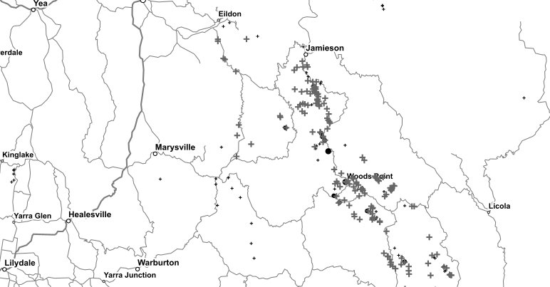
Pretty sure most of the mines and mineral occurrences etc on GeoVic are based upon historic reporting to the mines department... It wouldn't include old newspaper reports or anything like that (TROVE is where to go for that as casper said).
The GT (or at least the expanded GT - Stawell-Wedderburn-Bendigo-Ballarat) is where the majority of Vic mines were and had the best infrastructure and better reporting back to the colonial/state government. The only other exceptional areas are the Walhalla belt and the Beechworth area. Everywhere else the info is patchy because it was much more wild west ish ("wild east"). You go into some old mine "dots" on GeoVic and the link doesn't even take you to the report - but it does tell you that something was reported, once.
Gold explorers (geologists) spend a colossal amount of time gathering not just the GeoVic data but anything else, maps, reports, newspapers etc to build up a picture of what was happening in any given area. Historic research is hugely important in regions like Victoria. All that info can really flesh out what the geology is telling you.


