so true Doc, this is a great tool in the prospectors arsenal.
My favourite excuse to go and and take photos of the creeks is during flood. Ive got photos of the water action all around ballarat during flood and if i go to an old spot that changed considerably since flood or council intervention i can usually still spot the concentration points.
thanks for the share.
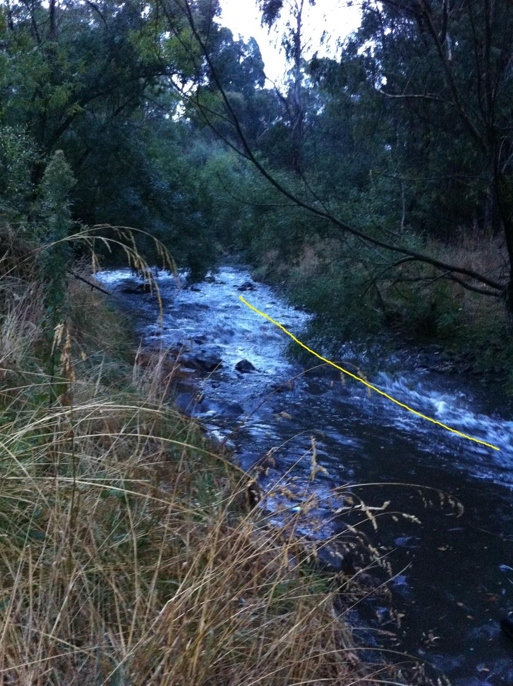
here;s an example of an area i was working on the inside left when the water was low as this was literred with large rocks, but after this flood the water came up around 1.5 meters and you can see form the white wash where the aggressive water is, this stuff acts like a vaccume to the rets of the creek and as it tuns out loads up with pickers each year its not really a high point unless you've seen this. wish i had a photo of the water when it was down for contrast.

My favourite excuse to go and and take photos of the creeks is during flood. Ive got photos of the water action all around ballarat during flood and if i go to an old spot that changed considerably since flood or council intervention i can usually still spot the concentration points.
thanks for the share.
here;s an example of an area i was working on the inside left when the water was low as this was literred with large rocks, but after this flood the water came up around 1.5 meters and you can see form the white wash where the aggressive water is, this stuff acts like a vaccume to the rets of the creek and as it tuns out loads up with pickers each year


