- Joined
- Jun 18, 2013
- Messages
- 677
- Reaction score
- 478
Yep April 2nd, come along if you can THP. The more the merrier!

TenOunce Tone said:The area down Goldsborough way is pretty gnarlly, the areas where the gold was found back in the late 1800's and early 20th century are way back into the valley, they are all on private property from what I can gather from Google and IRTM. I went down there this time last year and found nothing. not even flood gold in the sand banks..
These fields were not overly productive as the majority of the field is capped in at least 20m of Basalt from the surrounding mountains and volcanic activity back in the day.
Better rewards are found other places.. As Kane says, we need to get together again..
Cheers, Tone
Definitely salties up the top of the Mulgrave... I live in Goldsborough and have seen plenty... 2.5m and one a bit smaller up near the top bridge.. just last week..you won't freshwater crocs this close to sea levelIve been hearing reports of salties up the mulgrave too, seems strange to me as they are ambush predators and the mulgrave is so clear you can watch the jungle perch swimming around from a few metres away. You usually only see the occasional freshie up there which will leave you alone unless youre near their nest.
Theyd have a mighty long way to travel too, at least 20ks or so over sandbanks and causeways past numerous swimming holes to get to the upper mulgrave.
Im just saying it seems unlikely that a salty would make a journey like that unless it was forced out of its turf by rivals or because of lack of food.
Half gram to four gram pieces quite common around chlosey river area..
Tooheys ck north branch up above 3rd bridge at goldsbourgh enters river half mile up from bridge.. Heard a few stories years ago. I never found much better than fly *****.. Chlosey river to Davies creek better to play...gold mine ck... Old kiwi mine there..
Hi mate are you still around? I know this thread is ancient but I've become fairly obsessed with searching for gold in the area. This thread has been a gold mine in itself. I've been trying to narrow down the Freshwater goldfields. From the archived documents I've gone over (mostly here), the original miners at Freshwater creek had been contracted to work on a copper lode at the top of the range. The work couldn't commence and they were paid out and began making the trip back down to the coast - which would have meant folowing Freshwater creek down. And they began prospecting on the way. One visitor and commentor on the goldfields remarked that one group was getting supplies from Redlynch, some 11 miles away. I think the goldfields were located near Crystal cascades, and heading up further. Copperlode Dam must have got it's name from somewhere, and the geography lines up. I can't find anything else about the Freshwater fields. I can only assume that there are still micro veins riddled throughout the ranges and that there would still be good gold every year in those tributaries up there. Time to do some real exploring me thinks...Ok went looking for the two camps today. Covered a fair section of Freshwater Creek but no sign of the old camps yet.
Here are a few of the photos of the areas I went to today:
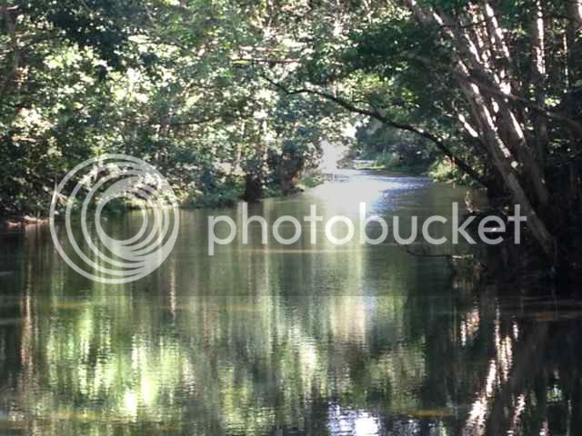
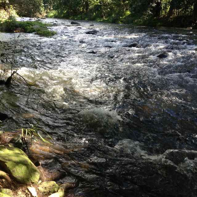
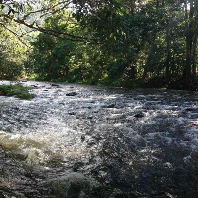
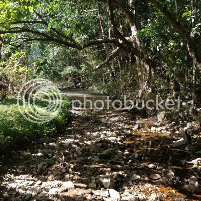
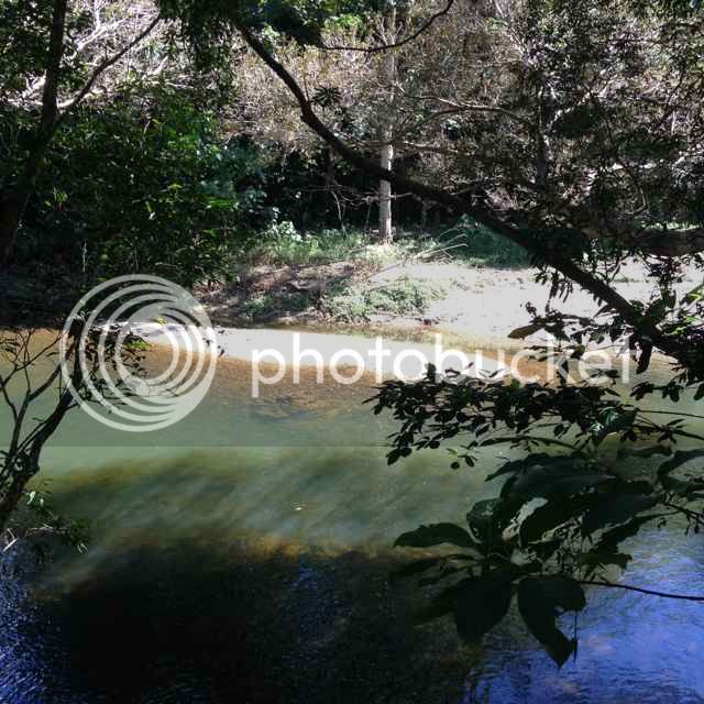
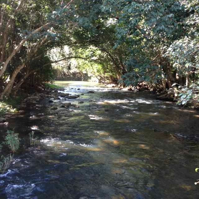
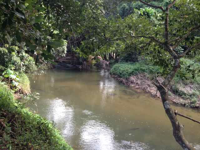


Theres over 100 images so I put them up on PhotoBucket here:
http://s700.photobucket.com/user/mxfive_photos/slideshow/Gold Prospecting/Freshwater Creek Cairns
I was a little skewed with my info, but on the right track still I reckon. The guys who originally found gold had been working for the Hambledon sugar plantation, which covered a lot of what is now Edmonton, and heading higher up into the foothills of the ranges. They had been commissioned to work a copper lode that was accessed from the Plantation. This is where it's tricky but really intriguing to me. The copper lode must have been at the top of the range somewhere between the back of Edmonton and Lake Morris. Going over one of the old documents again I found that there were two main Freshwater fields: the upper and lower fields. With the upper fields being some 5 or 6 miles "higher up". The author of the report stated that the upper field was 'reached by Fret Well's Hotel, and Hamledon Plantation, and then across the range'. Accessing the lower fields from Cairns mentions passing through "Brinsmead's Gap" - clearly the area that the Cairns Western arterial road passes through, and then first hitting Freshwater creek. I think Goombora Park area is the likely spot they began following Freshwater Creek. They then travelled up "Freshwater Creek Road" where he mentions crossing Freshwater creek 5 times in 5 miles. And then travelling another several miles to reach the main lower field. It's hard to get accurate information sometimes from these archived documents, but the distance travelled even to the lower fields was at least as far as Crystal Cascades. It seems almost too far. Unless their distancing was off. But they wouldn't have been travelling in a straight line. Maybe it took 10 miles of travel to reach the Crystal Cascades area. I do remember reading about having to climb mountains with huge rocky outcrops at the base. I think a drive out there will start to reveal more to me. I love this stuff. Takes me right back there with them and I wish I was...Hi mate are you still around? I know this thread is ancient but I've become fairly obsessed with searching for gold in the area. This thread has been a gold mine in itself. I've been trying to narrow down the Freshwater goldfields. From the archived documents I've gone over (mostly here), the original miners at Freshwater creek had been contracted to work on a copper lode at the top of the range. The work couldn't commence and they were paid out and began making the trip back down to the coast - which would have meant folowing Freshwater creek down. And they began prospecting on the way. One visitor and commentor on the goldfields remarked that one group was getting supplies from Redlynch, some 11 miles away. I think the goldfields were located near Crystal cascades, and heading up further. Copperlode Dam must have got it's name from somewhere, and the geography lines up. I can't find anything else about the Freshwater fields. I can only assume that there are still micro veins riddled throughout the ranges and that there would still be good gold every year in those tributaries up there. Time to do some real exploring me thinks...
RIP to your friend. I think I'm heading in the right direction. I'm going to do the Lake Morris walk tomorrow to try and get a feel for the area and find some more clues. The thing is there are literally hundreds of tributaries that feed into Freshwater creek. They never found a source for the gold up there. The best gold was apparently got in ancient creek-beds running alongside Freshwater Creek. And another creek that ran off it. And the rest of it was also alluvial gold out of the creek itself. I reckon there would not only be all sorts of good areas higher up Freshwater Creek, but also countless other feeder creeks, as well as other as-yet undiscovered ancient beds. Pity it's all National Park I guess. I wouldn't dare do anything like go fossicking up there...I think where you are describing is where our Dear departed Jason used to climb to and get good gold. (RIP Jas)
There is only one bloke on here that knows the location to my knowledge. @greenwanderer
Just in case anyone stumbles on this and is as interested as I am, I think I found a worked section of the Lower Freshwater fields today. If not in the 1890s, definitely at some stage in the twentieth century. I'm not going to say exactly where it is, but let's just say I found it by coincidence and luck, and this area is very close to Crystal Cascades. It all started with a swim across Freshwater Creek. Once on the other side I noticed a little seasonal tributary. At the same time I was seeing really nice quartz float on the ground. I know the old-timers used to follow it up the hill, so I made a plan to come back and just see if I could find any more quartz higher up the hilllside. As I walked up, sure enough the quartz was getting bigger and bigger, and it's all beautiful mineralized quartz. Then I found another clue: A timber hoist about 3 metres long that someone had set up on the hillside. The hoist was held together with really old bungee cords, so came from some time in the 1900s? I've read that bungee cords were used as early as WW1. Anyway, there was a little area where it looked like the tributary came to an end, and for a minute I was disappointed. After a bit of climbing and swearing at the massive orb spiders I kept walking into, suddenly this "little tributary" opened up into an old creek bed the size of Freshwater creek. The banks look like they have been heavily worked, and the quartz just gets bigger and bigger the further up you go. From the creek bed to the bank is over ten metres high in some spots. I came to a section that might have been a vein but it was hard to say. It could have just been a bottle neck where some big quartz boulders have settled amongst another fissure, but the area was so interesting it made my day. I decided to turn back at that point. My dog was starting to struggle with the steep banks of the creek bed and I didn't have any equipment with me. I'll take some photos next time I'm there.Hi mate are you still around? I know this thread is ancient but I've become fairly obsessed with searching for gold in the area. This thread has been a gold mine in itself. I've been trying to narrow down the Freshwater goldfields. From the archived documents I've gone over (mostly here), the original miners at Freshwater creek had been contracted to work on a copper lode at the top of the range. The work couldn't commence and they were paid out and began making the trip back down to the coast - which would have meant folowing Freshwater creek down. And they began prospecting on the way. One visitor and commentor on the goldfields remarked that one group was getting supplies from Redlynch, some 11 miles away. I think the goldfields were located near Crystal cascades, and heading up further. Copperlode Dam must have got it's name from somewhere, and the geography lines up. I can't find anything else about the Freshwater fields. I can only assume that there are still micro veins riddled throughout the ranges and that there would still be good gold every year in those tributaries up there. Time to do some real exploring me thinks...
Yeah, I reckon the frame couldn't be too old. But a lot of digging has been done there at some point. To be honest I don't know yet about gold. I walked around and mucked around with the metal detector and ended up taking 2 buckets of sample home with me that I'll pan in the morning. Got a nice wobble-pop from one spot that I have to go back and dig. I did see a few scratched out spots, maybe from your old mate. I'd really appreciate any help or tips I can get. I'm new to prospecting and probably going about it wrong half the time. But it's got me back out there again and that's what it's all about I guess!Nice mineralized quartz, but very big.. so did that equate to alluvial here?
Jas used to get good gold up there.
Timber structure would be a fairly modern camp in my eyes??
You are very keen Sir!
Gonna give a bloke a message and see if he will help you in your explorations.
Stay tuned!
Enter your email address to join: