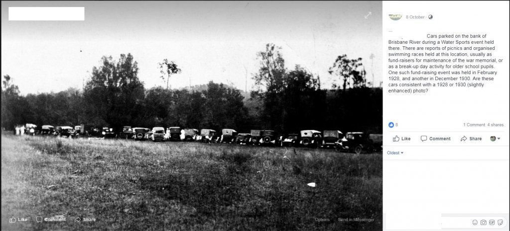
My research for this weekend is done. After spotting this post on a Historical FB page, within the hour i had the exact spot nailed down. I used a Military Toppo map 1940's , Qview aerial pic 1940's and Google Maps.
Im guessing highly unlikely this site has ever been detected , interesting part is how much of the river bed is exposed now due to Wivenhoe dam , wish me sucess for Sunday friends.

Im guessing highly unlikely this site has ever been detected , interesting part is how much of the river bed is exposed now due to Wivenhoe dam , wish me sucess for Sunday friends.


